✳ MapTheOdd

Rank, filter and regroup the odd-only atlas

Every place here earns its oddness.

Filter 948 quality-approved unusual places by type, continent, best month and weirdness score; compare rankings in cards or a sortable table.

948 quality-approved places50 data cuts · maps · pattern intelligenceEvery record source-linked

Filter 948 quality-approved unusual places by type, continent, best month and weirdness score; compare rankings in cards or a sortable table. These are crawlable research records, not an indiscriminate directory: reports without enough depth remain available for exploration but are excluded from search indexing.

Oddity Explorer

Rank, filter and regroup the strange.

All 948 approved records can be compared here. Change any control and the ranking, cards, table and sections update together.

Loading the approved atlas…

What the data lets you do

Each type unlocks different questions.

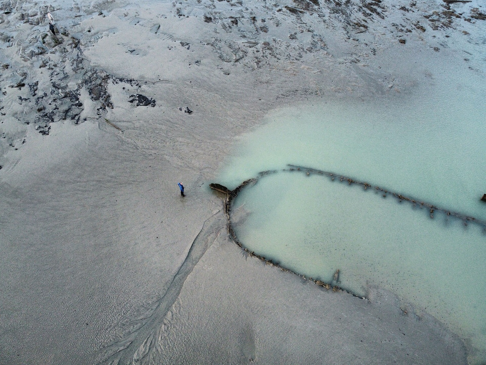
Maritime

Compare wrecks and sea structures, separate shore, boat and dive access, and group records by coast or period.

Explore 566 records →
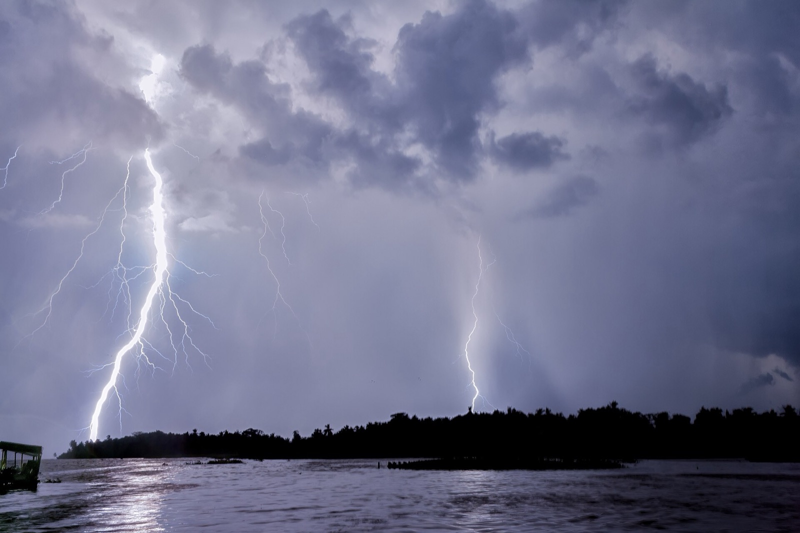
Natural world

Compare geology and biodiversity, find the best broad season, assess walking effort and connect nearby formations.

Explore 256 records →
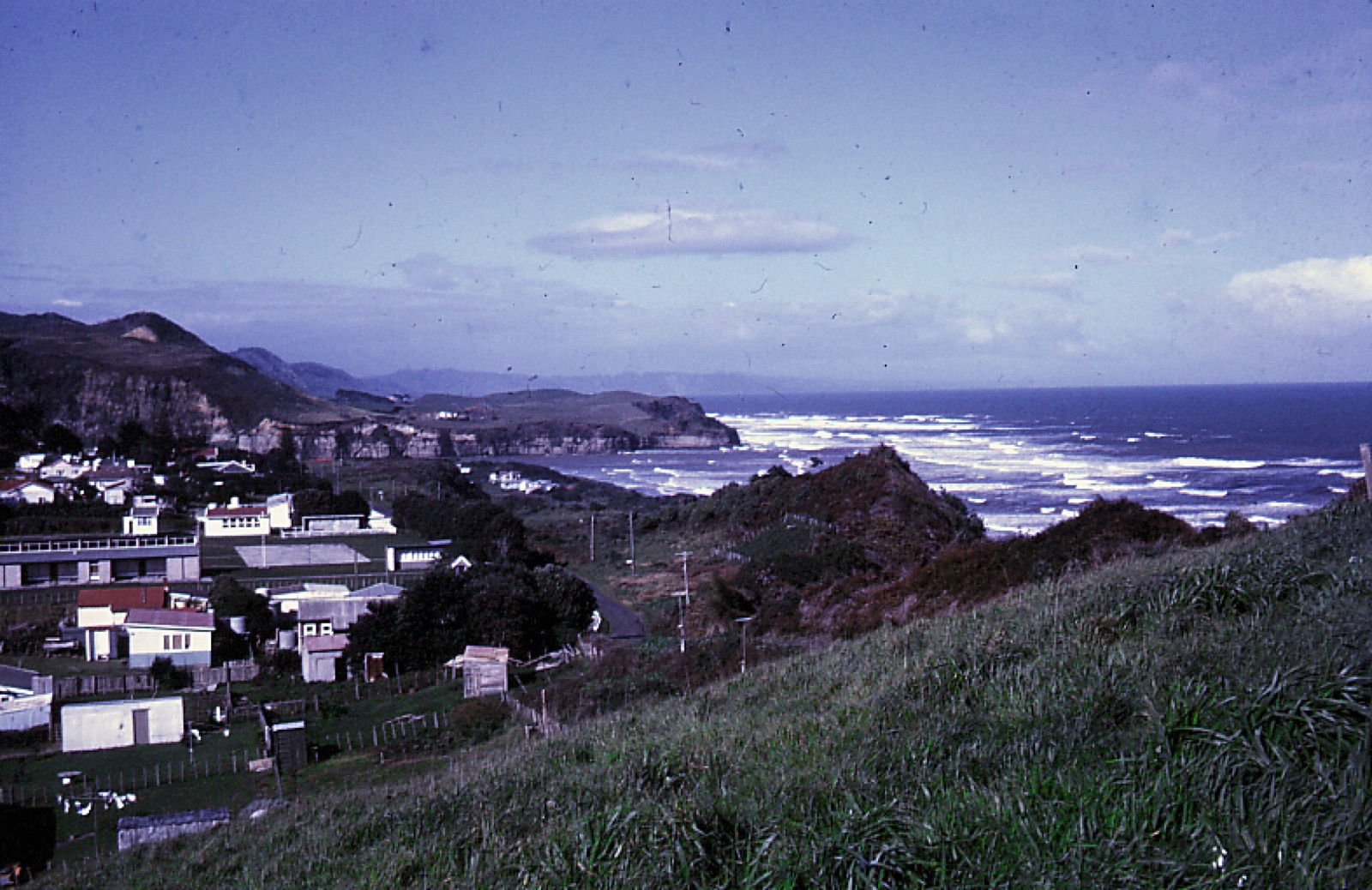
Heritage

Compare dates and technologies, follow the evidence trail, build themed routes and understand what survives.

Explore 67 records →
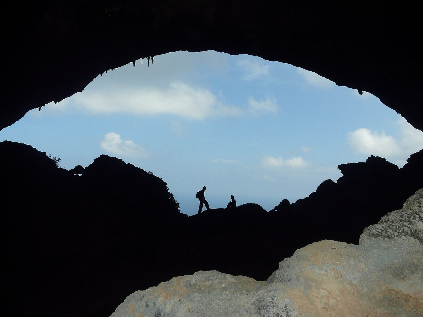
Infrastructure

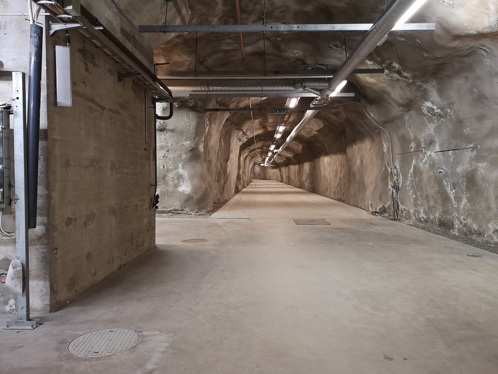
Reveal hidden systems, compare engineering functions, check likely access and group operational or abandoned sites.

Explore 55 records →
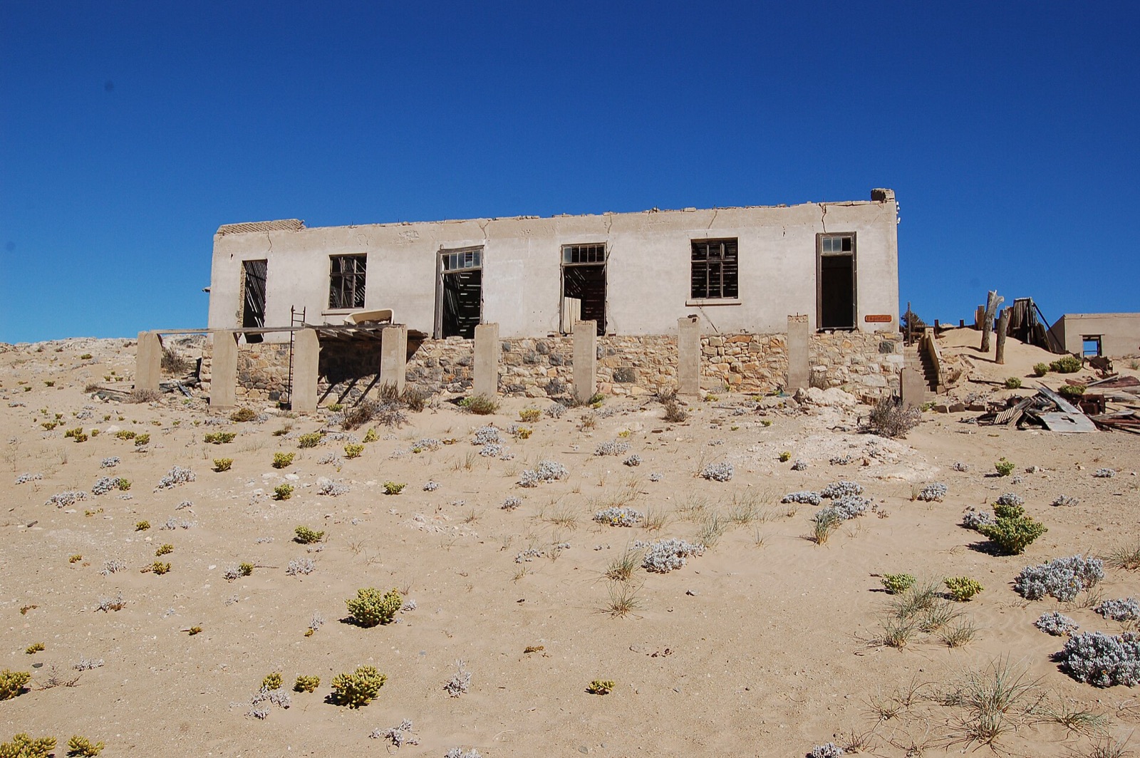
Odd boundaries

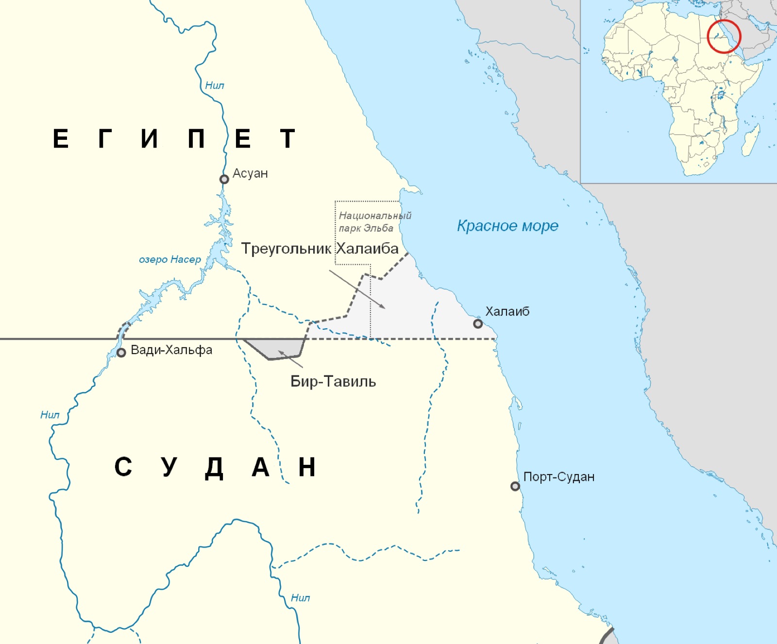
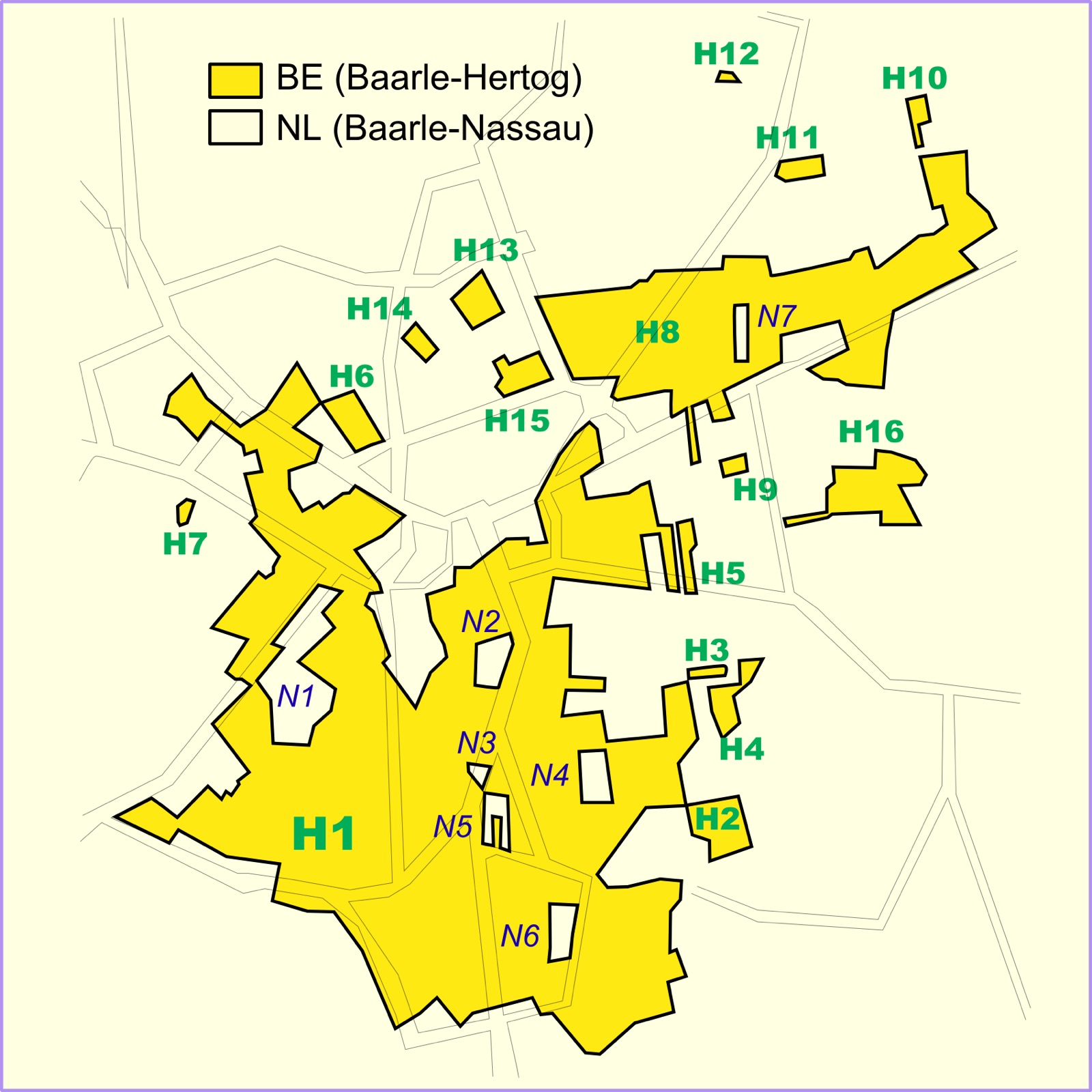
Understand enclaves, tides and broken road networks, then plan realistic mixed-mode journeys around the line.

Explore 4 records →
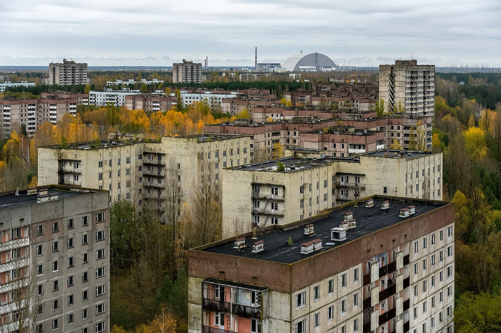
Weirdness scoreCategory rarity, unusual language, descriptive depth and source grounding. It ranks curiosity—not cultural value.
Rarity rankHow uncommon the type is within MapTheOdd’s current approved catalogue.
Evidence scoreCoordinates, public source, dataset identity and descriptive completeness.
Best monthsBroad latitude-based starting points only. Always check live weather, access, tides and operators.
Heritage · Historic England

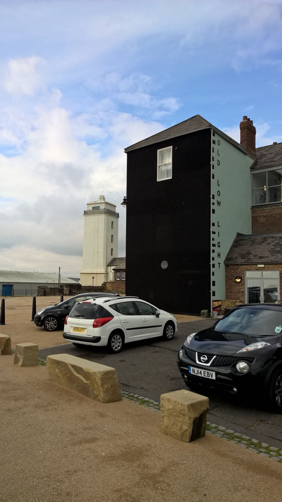
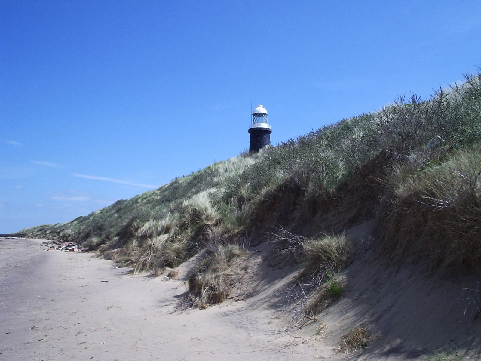
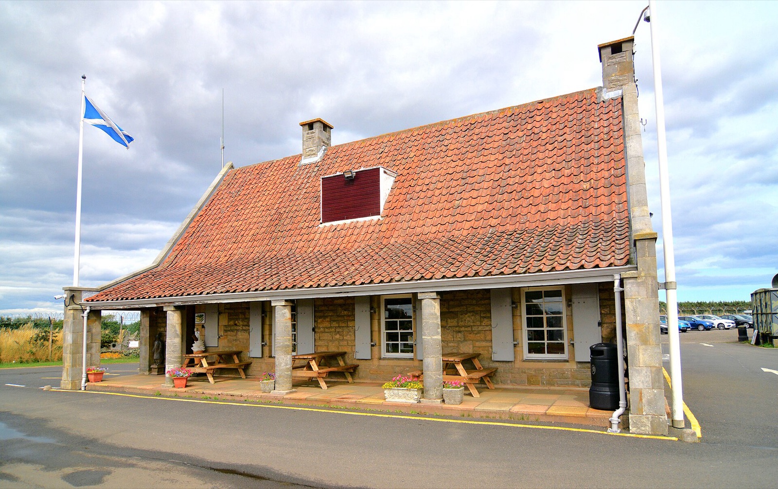
The lighthouse that worked as half of a sightline

North Shields, England

The Low Light guided ships by lining up with a second light above the Fish Quay.

Map, evidence and context →
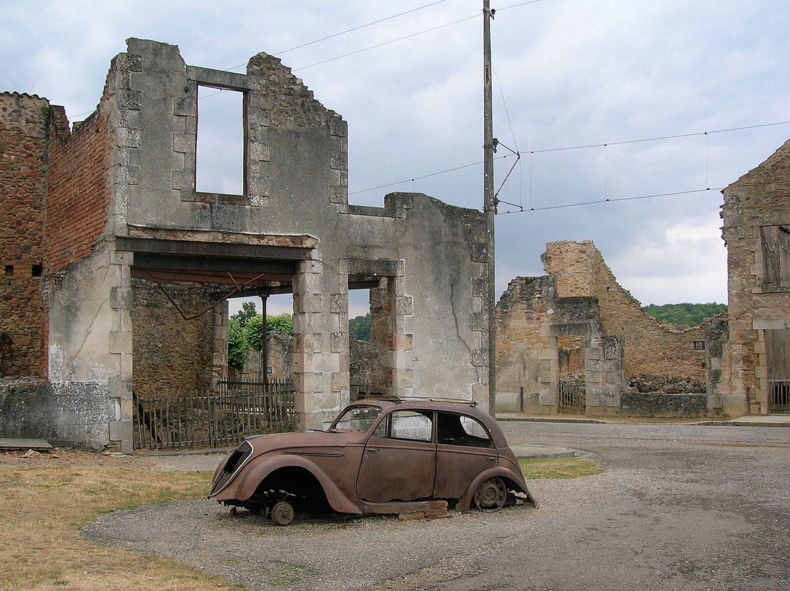
Infrastructure · Heritage NSW

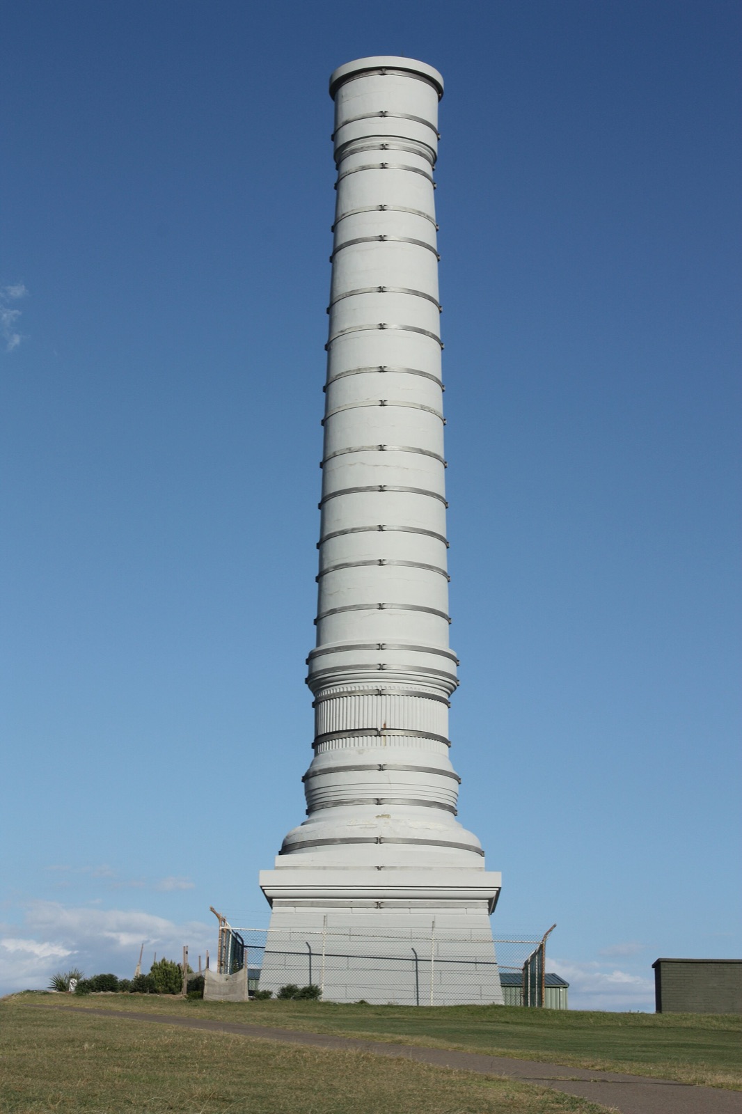
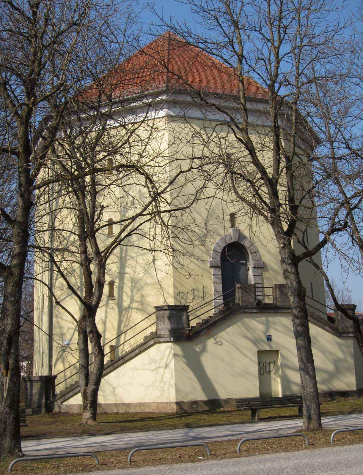
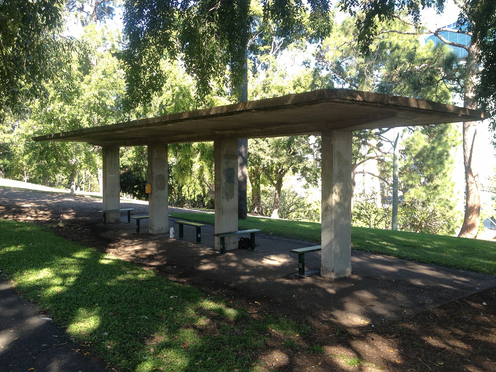
The classical tower built to ventilate a sewer

Bondi, Sydney, Australia

A monumental concrete vent rises beside Bondi Golf Course like a misplaced coastal column.

Map, evidence and context →
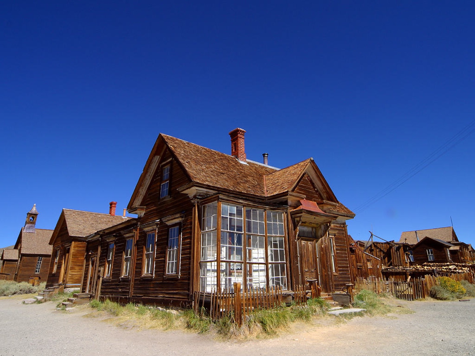
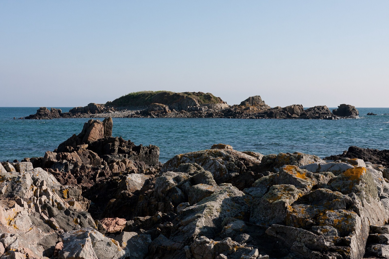
Natural world · La Société Guernesiaise

The reef that became a cliff-top plateau

Pleinmont, Torteval, Guernsey

A high, surprisingly level headland records an ancient marine erosion surface that local geological interpretation describes as a largely submerged warm-water reef around 10 million years ag

Map, evidence and context →

Odd boundaries · States of Guernsey

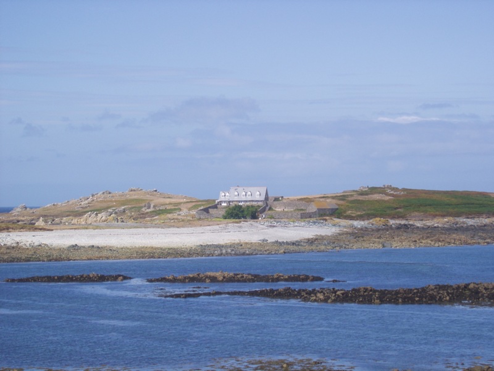
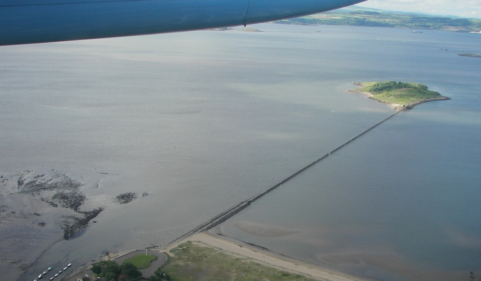
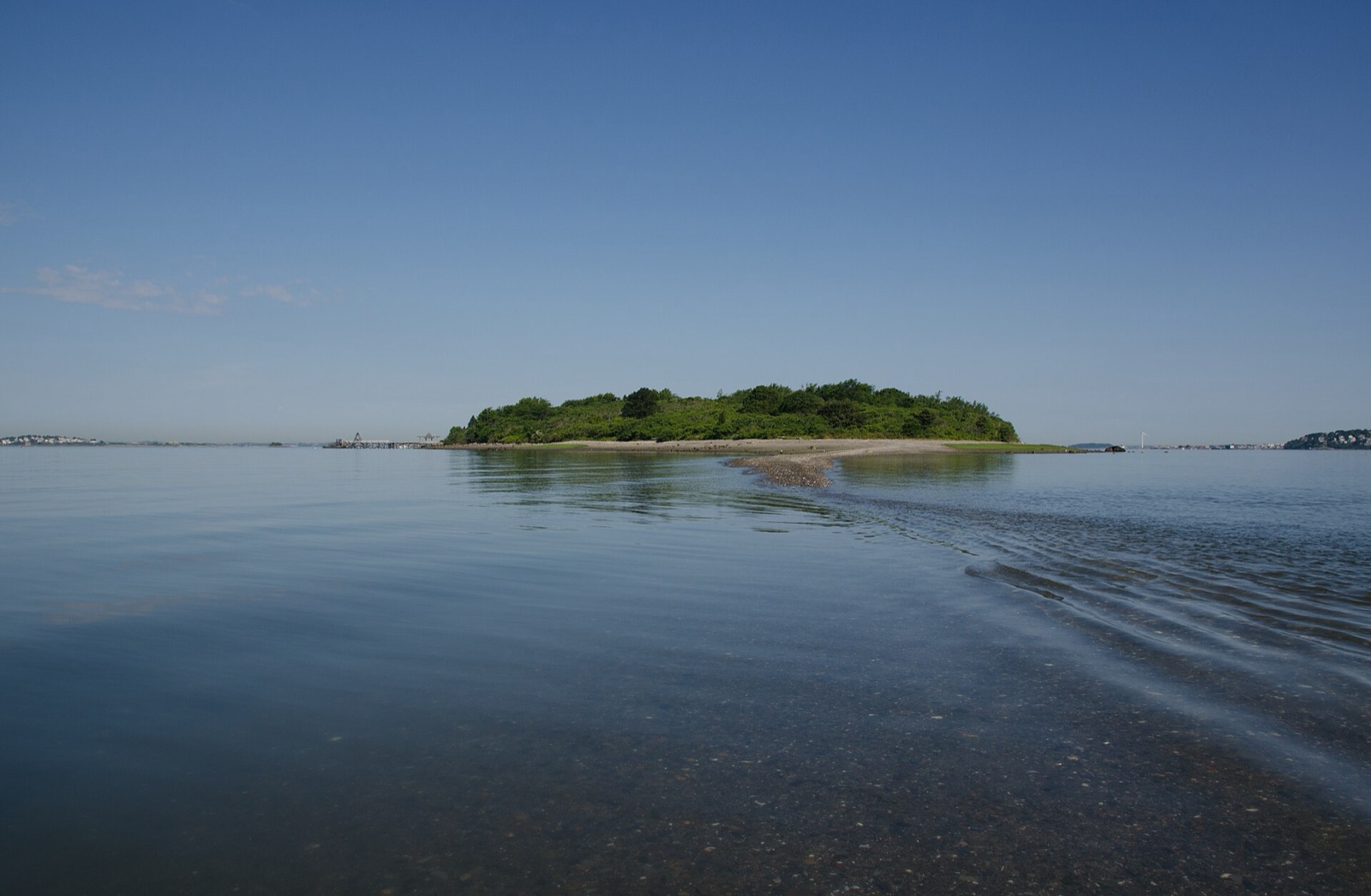
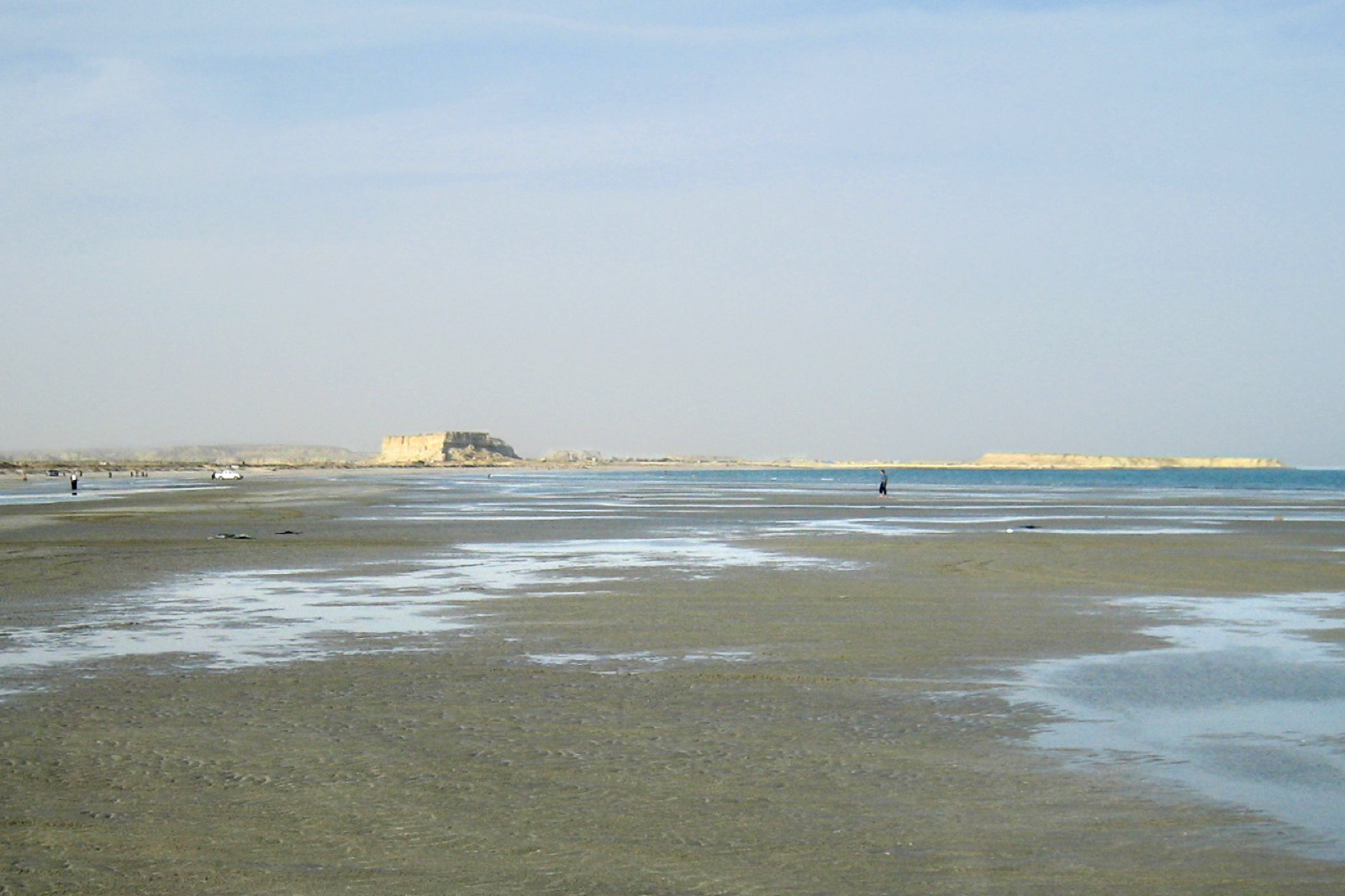
An island joined by the tide

Lihou, Guernsey

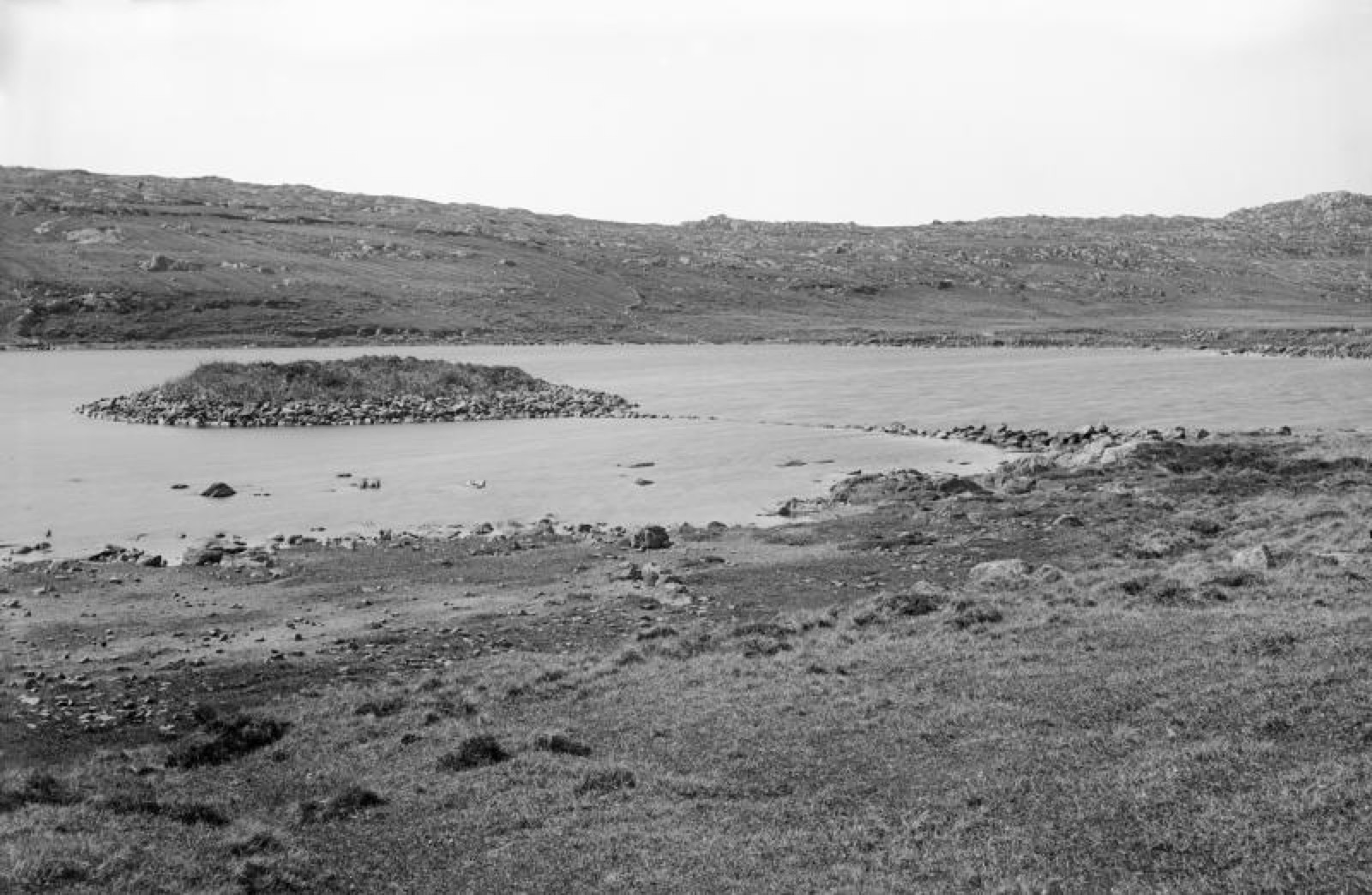
A causeway alternates between road and seabed according to the tide.

Map, evidence and context →
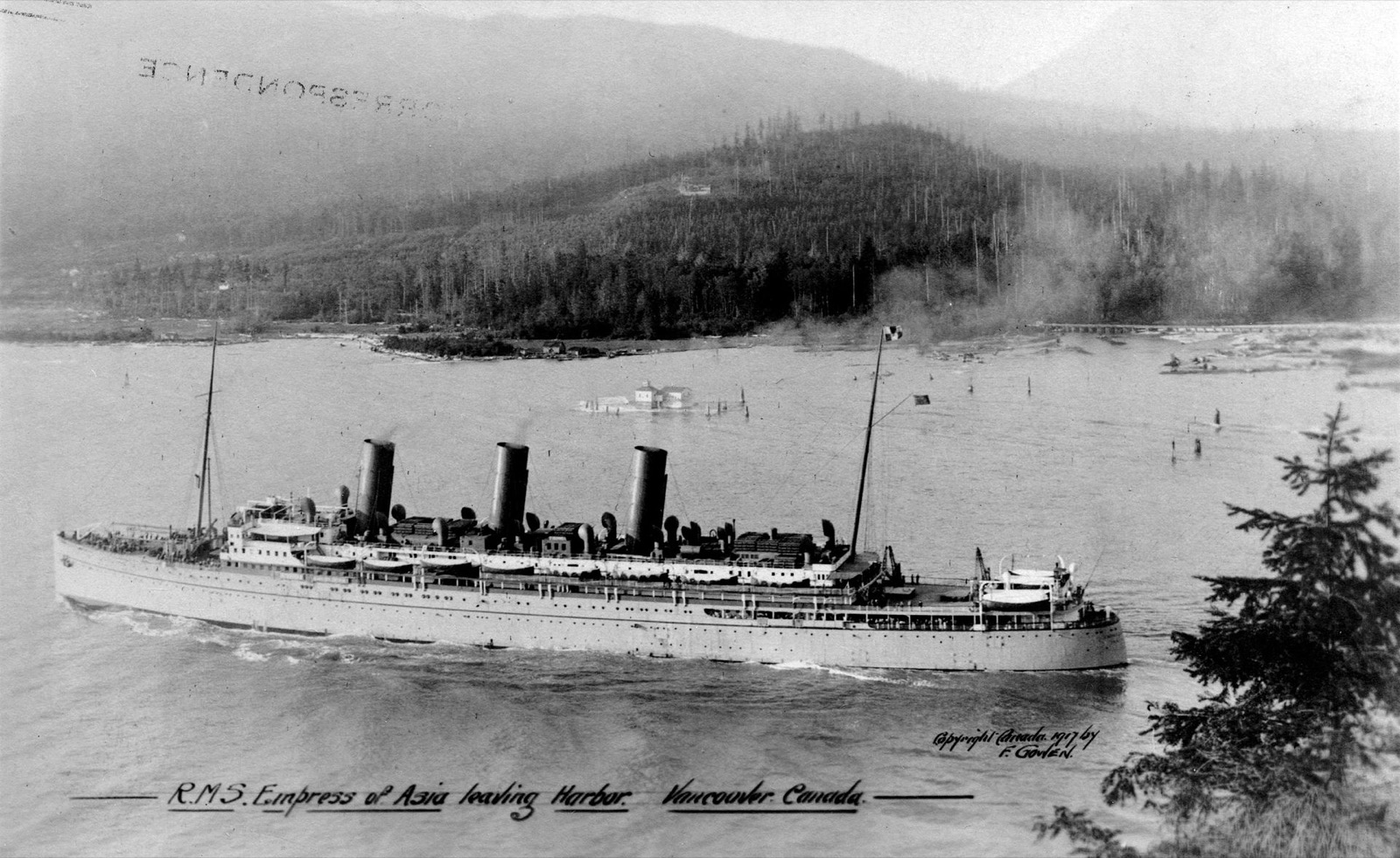
Heritage · UNESCO World Heritage

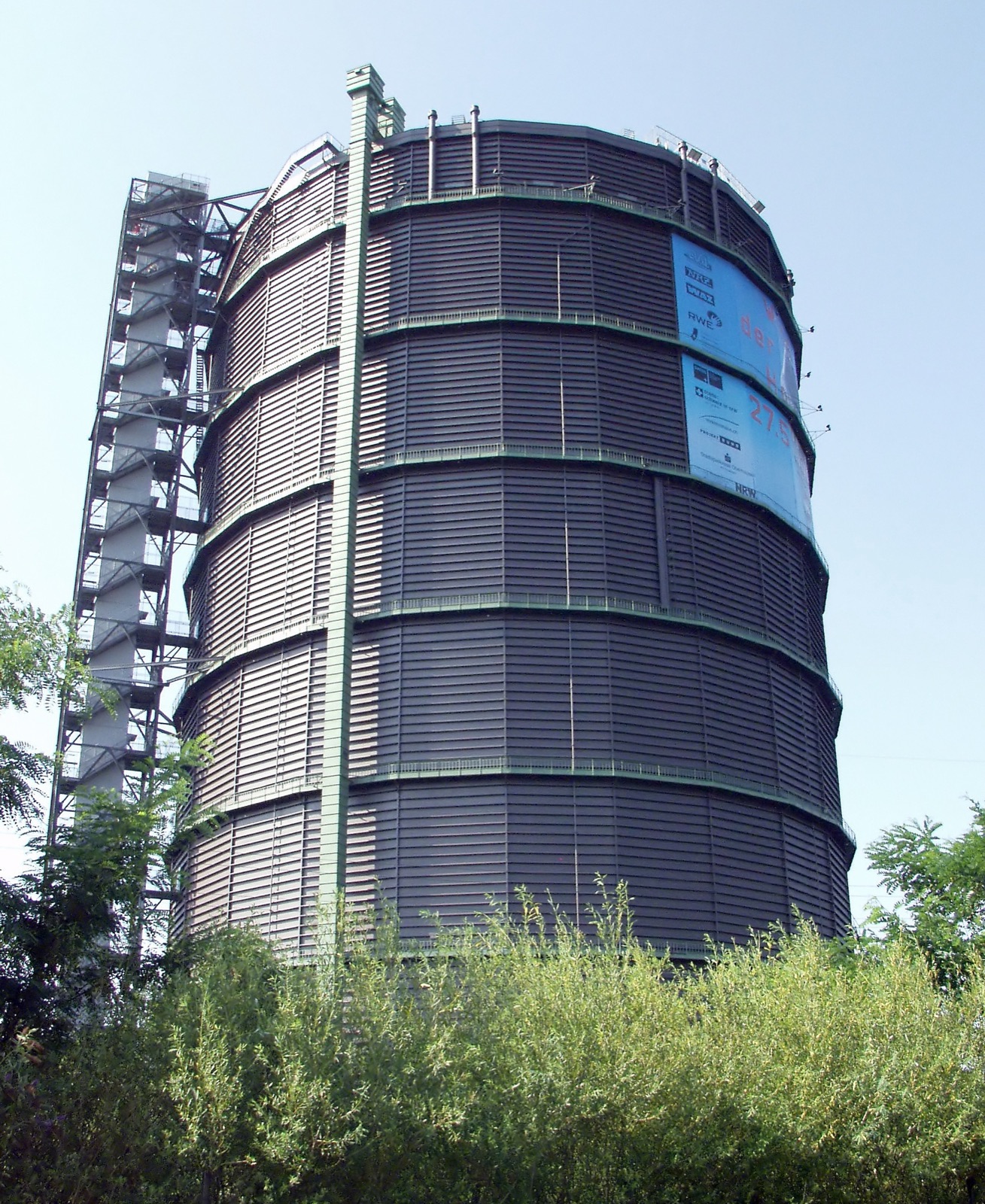
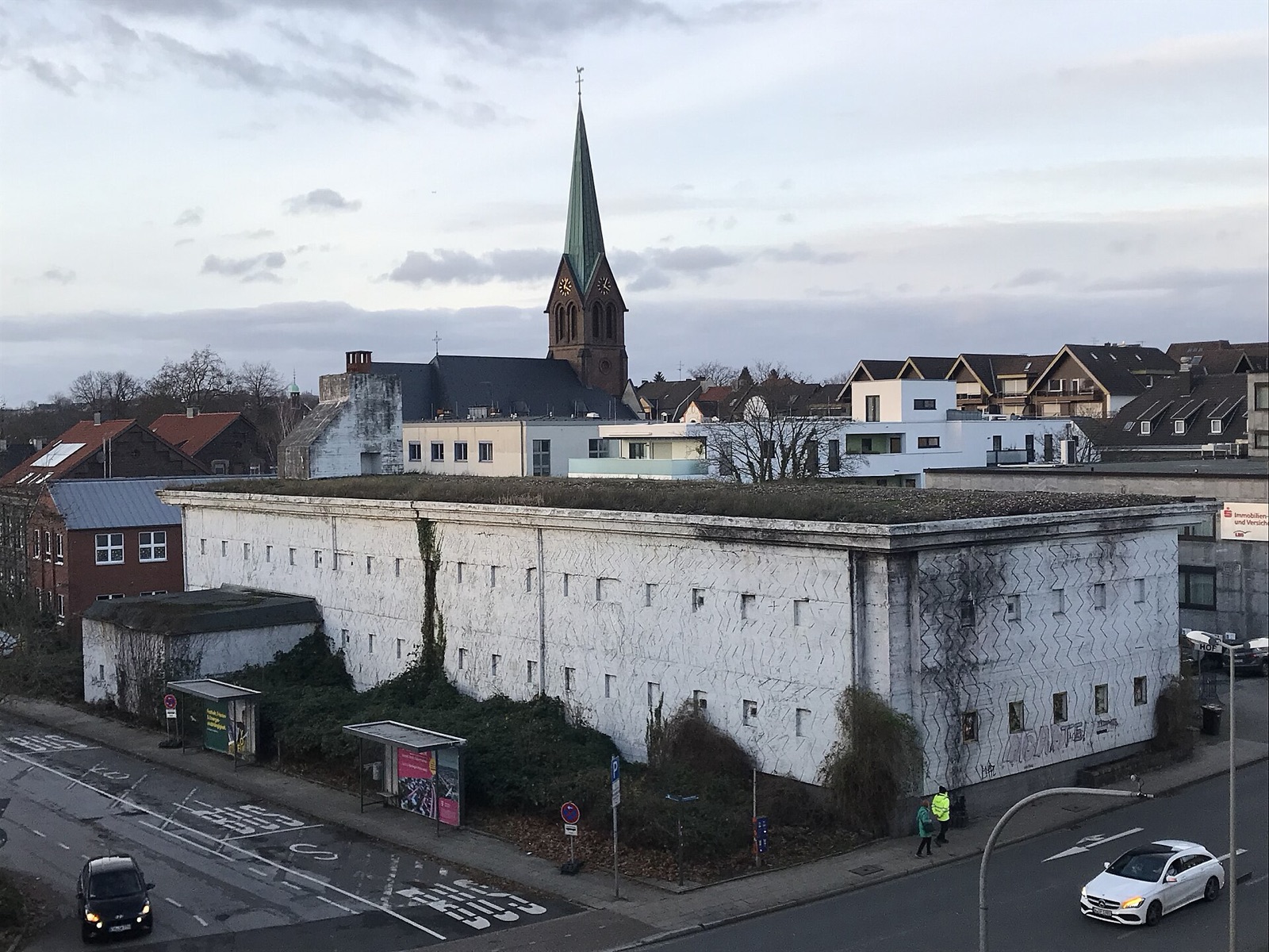
A giant iron drum in the city

Oberhausen, Germany

A former gas holder survives at monumental scale as an industrial landmark.

Map, evidence and context →
Heritage · Historic England

A whole town built for one mill

Saltaire, England

Industrial planning produced a settlement where work, housing and civic life were designed together.

Map, evidence and context →
Heritage · OpenStreetMap

The monument on the mountain

Central Balkan Mountains, Bulgaria

A vast civic monument occupies an isolated mountain summit.

Map, evidence and context →
Infrastructure · Gazetteer of Australia

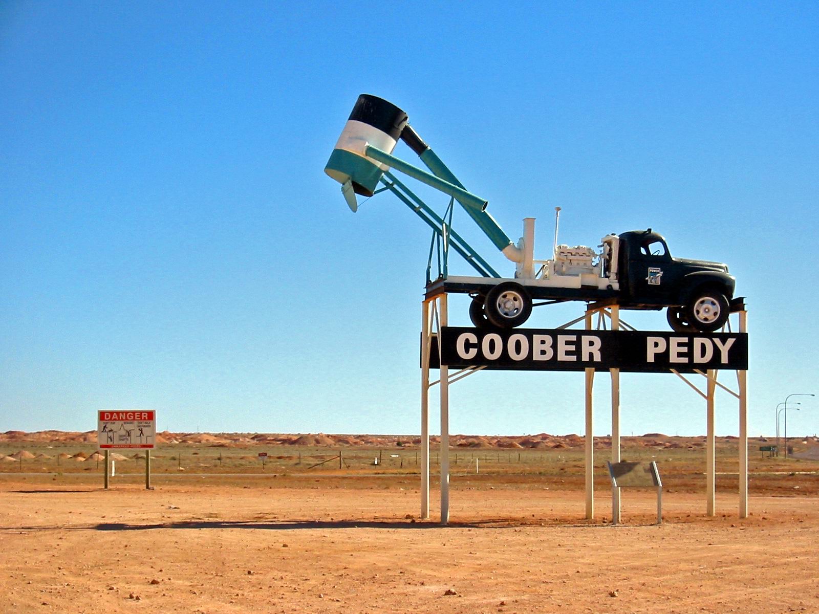
The town that moved underground

Coober Pedy, South Australia

Homes and civic spaces occupy excavated rock to escape surface heat.

Map, evidence and context →
Infrastructure · OpenStreetMap

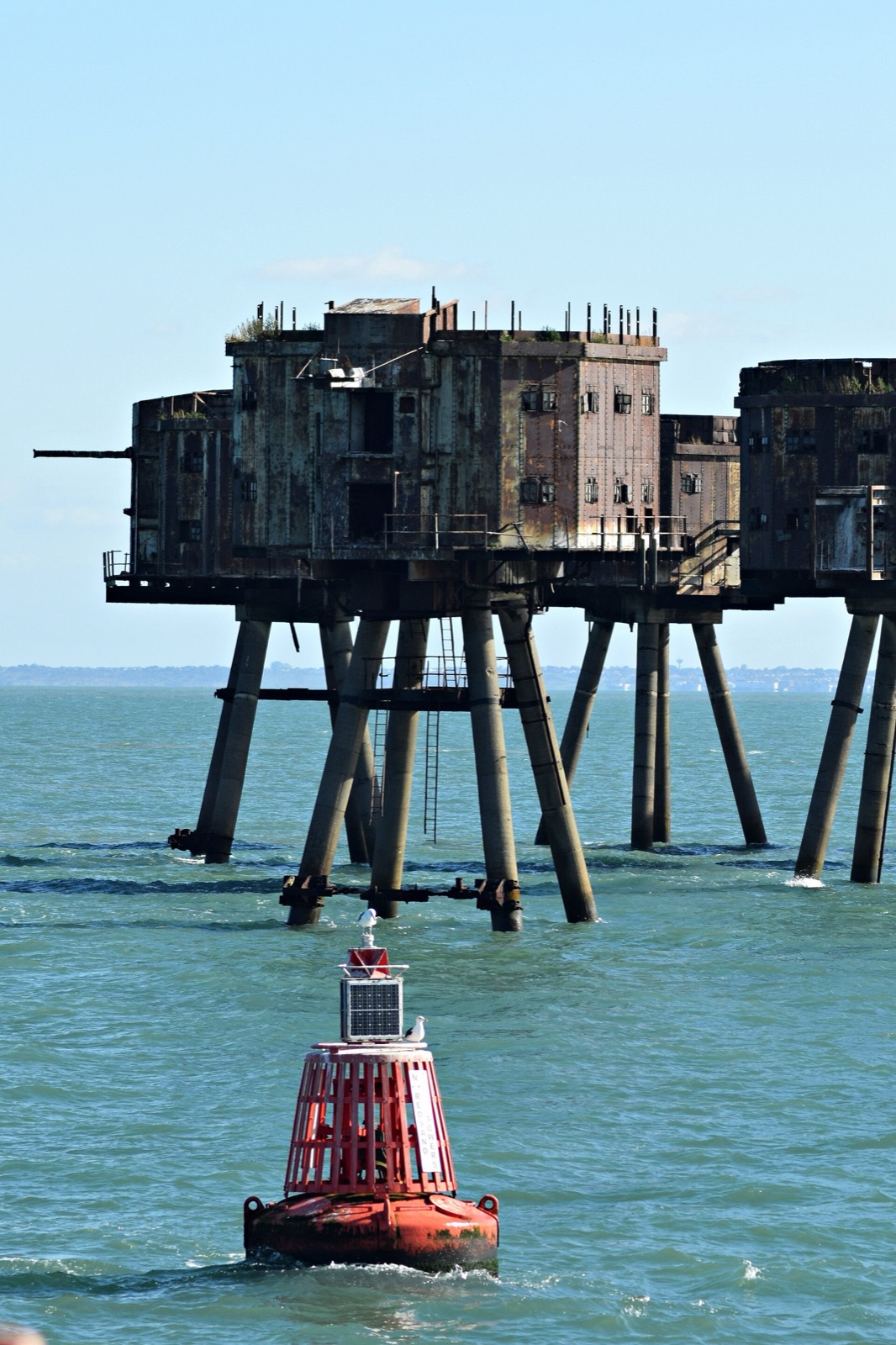
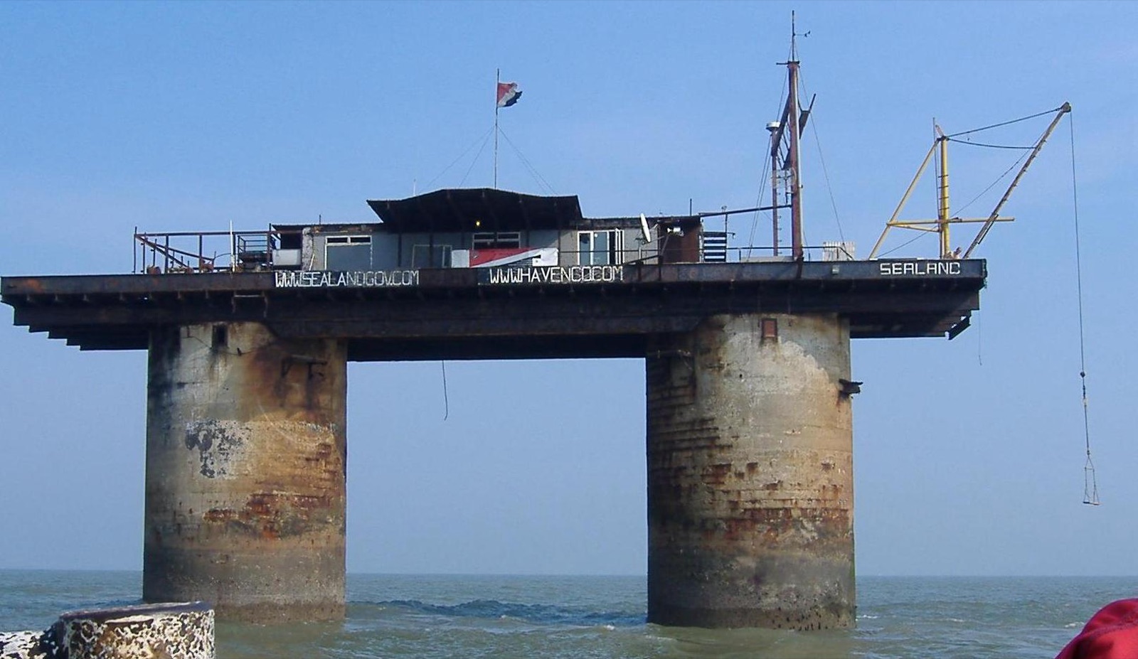
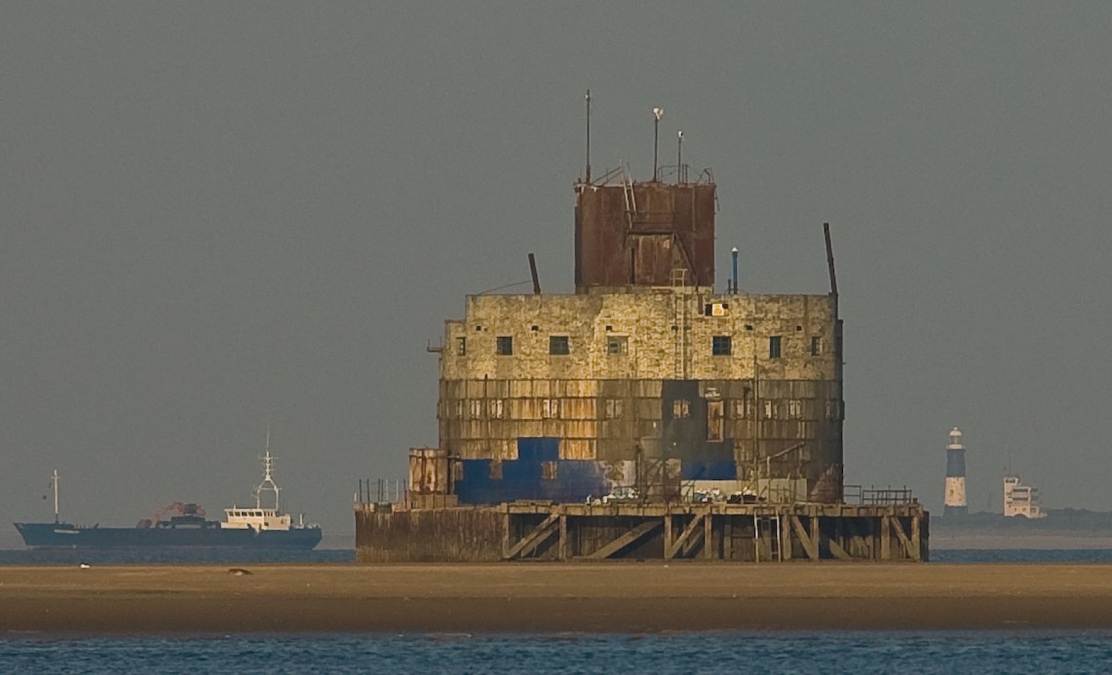
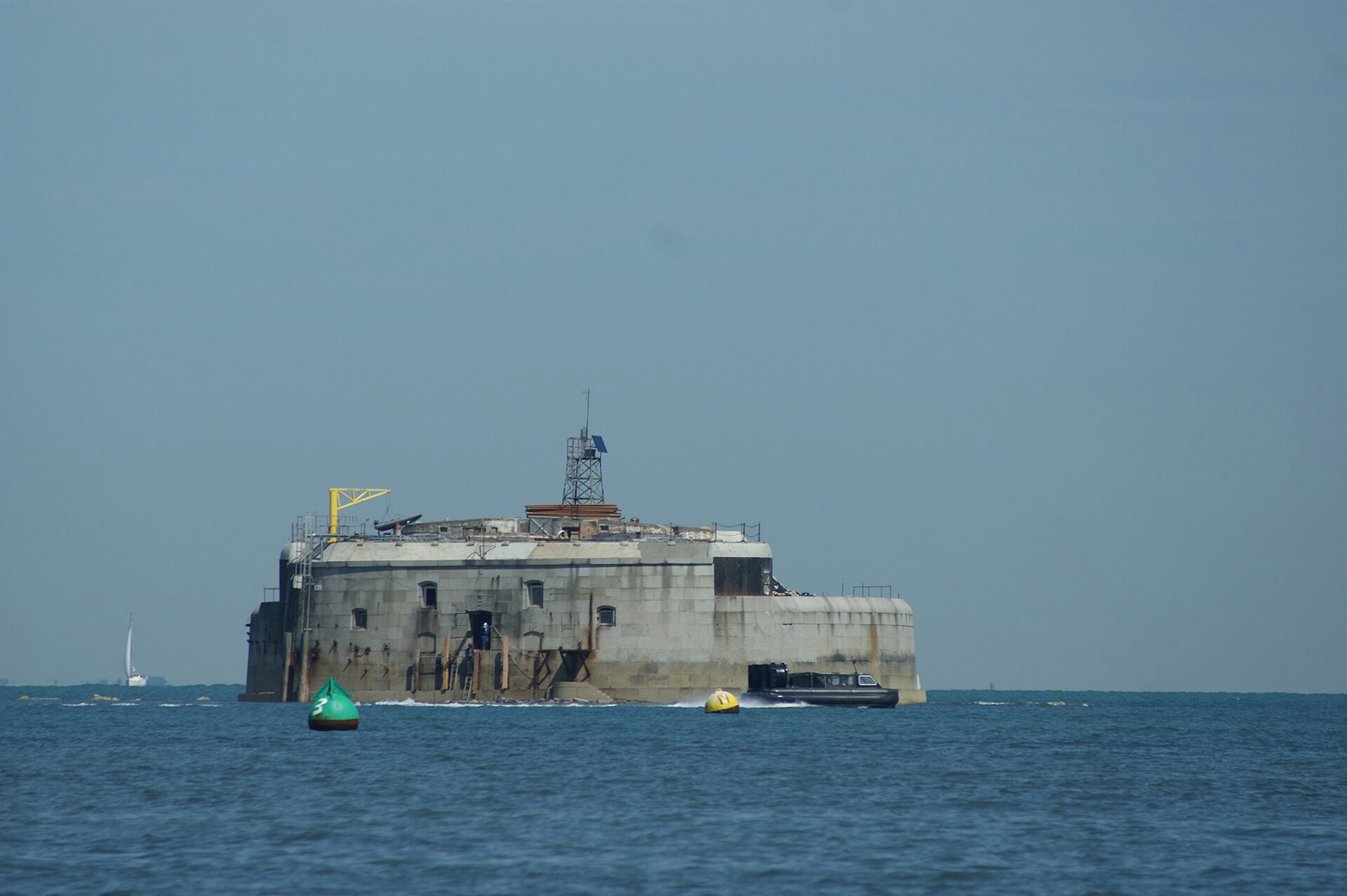
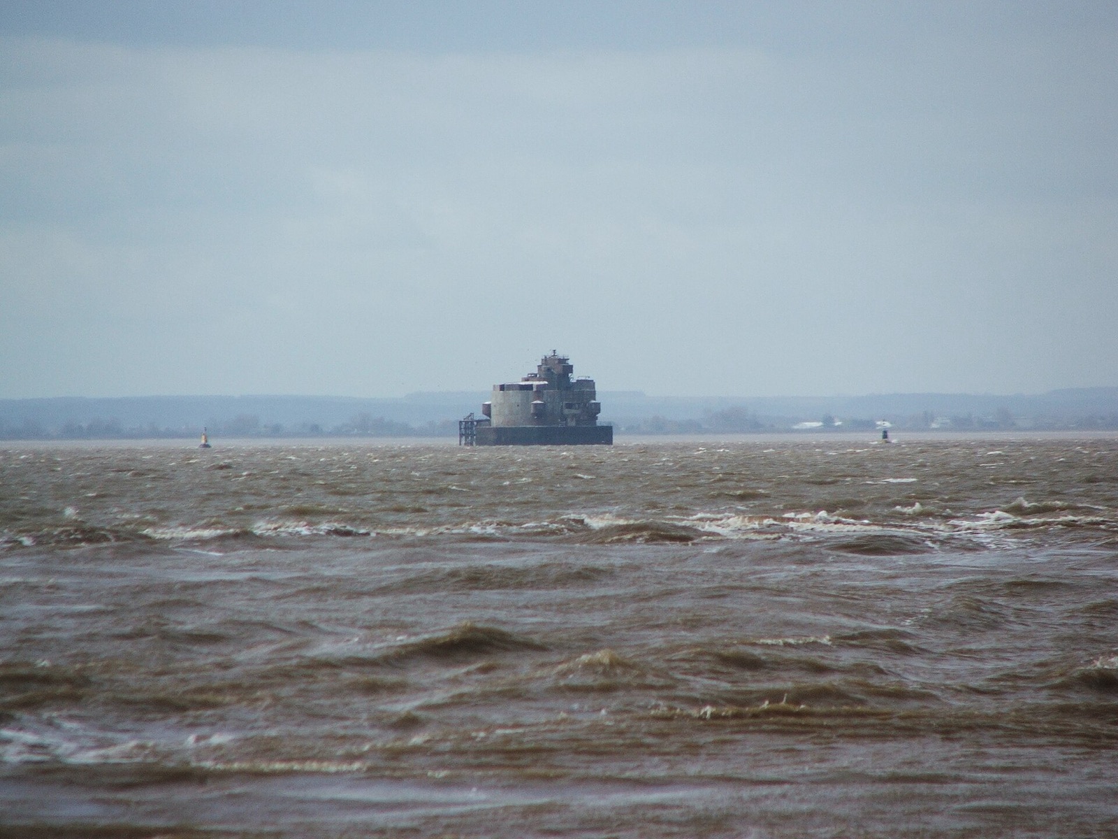
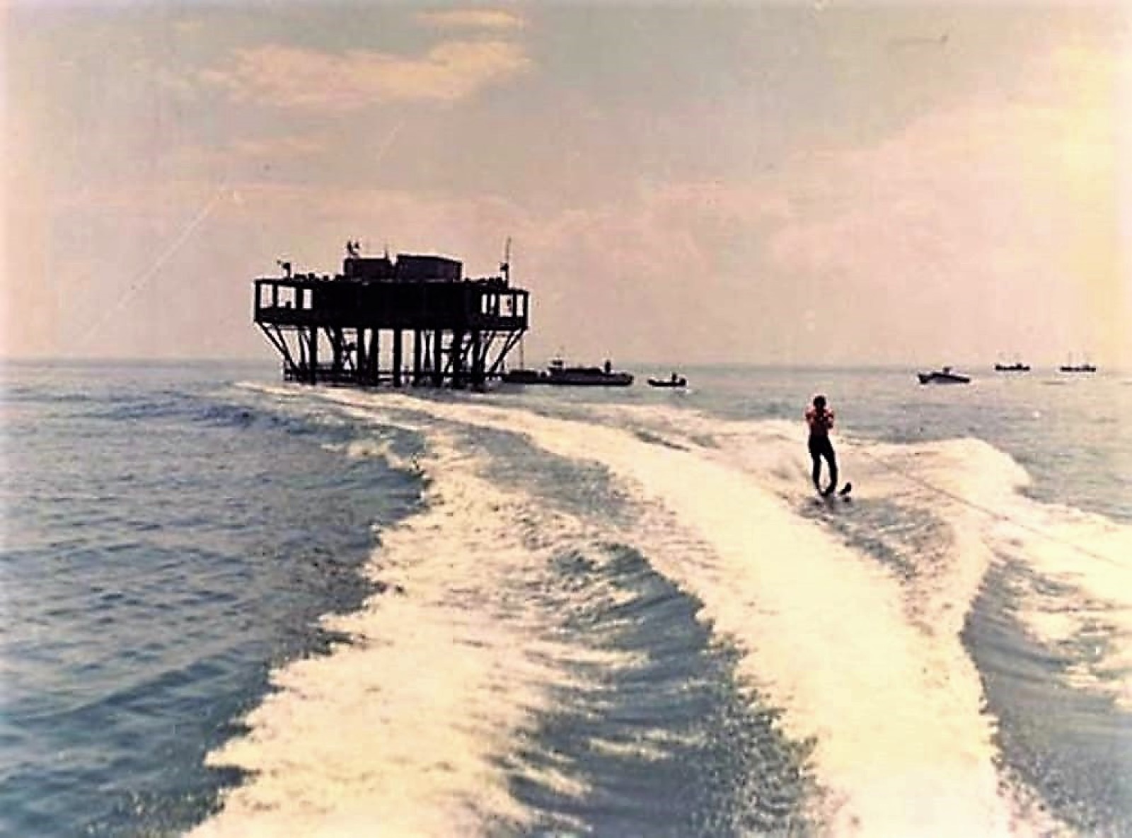
Sea forts standing on stilts

Thames Estuary, England

Wartime towers remain offshore like fragments of a mechanical city.

Map, evidence and context →
Infrastructure · OpenStreetMap

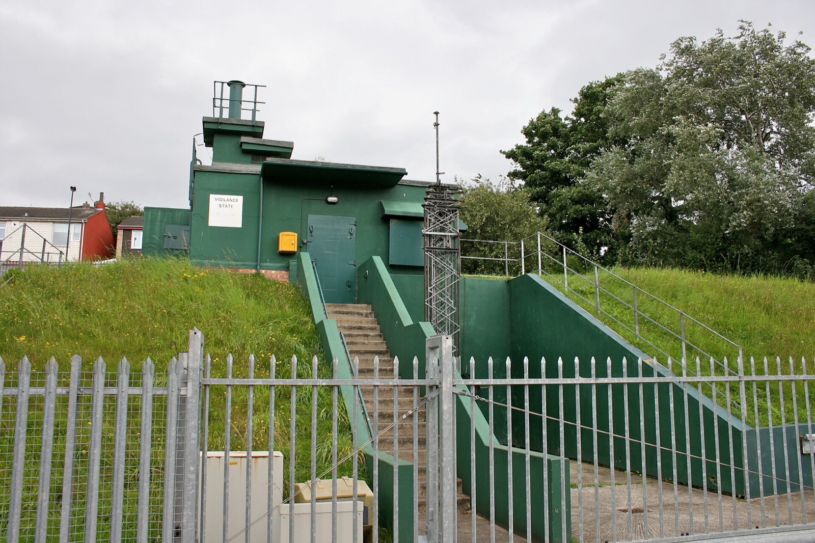
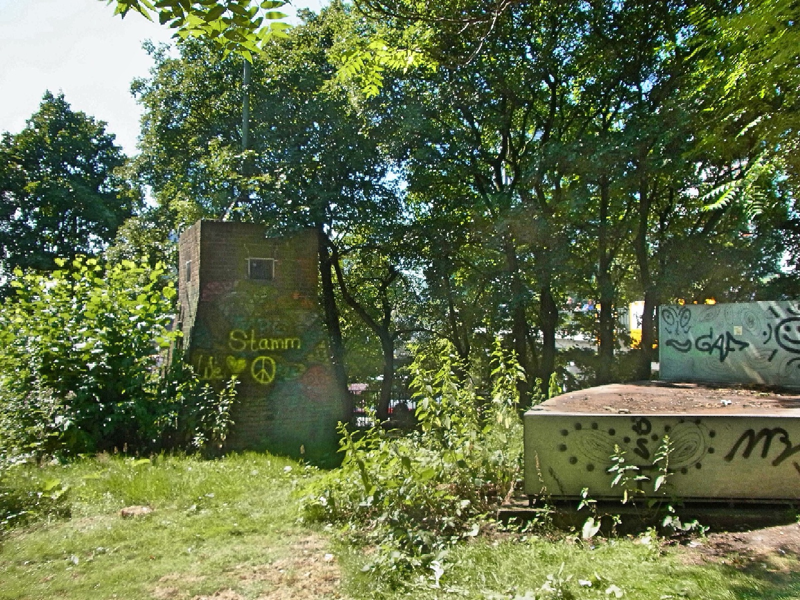
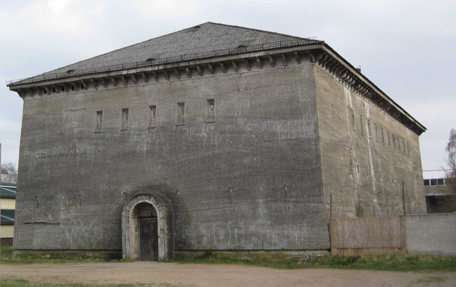
A listening station on a rubble hill

Berlin, Germany

Cold War technology occupies an artificial mountain made from wartime debris.

Map, evidence and context →
Infrastructure · US Geological Survey

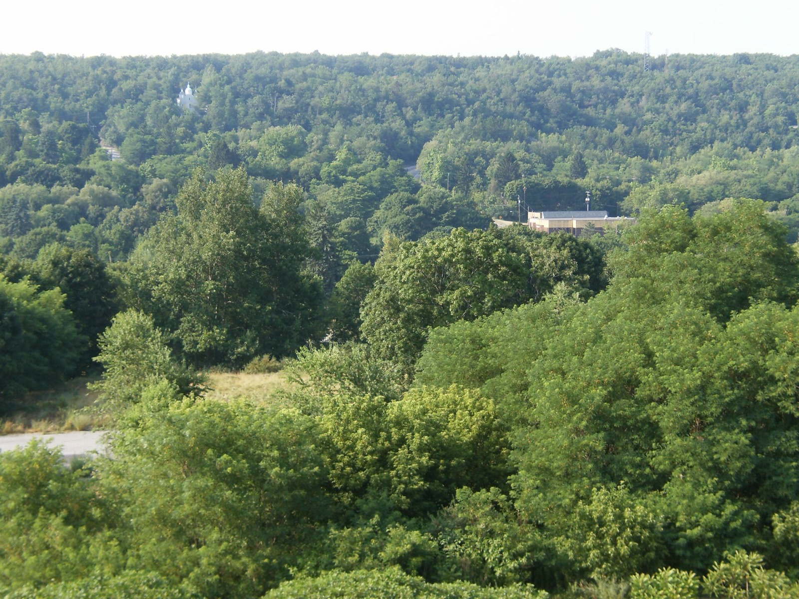
The town above a burning mine

Centralia, Pennsylvania

A long-lived underground mine fire altered roads, settlement and population.

Map, evidence and context →
Odd boundaries · US Census Bureau

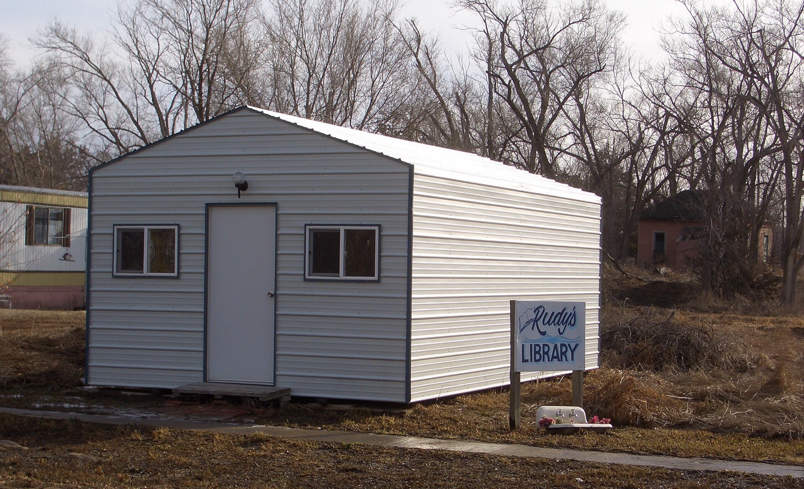
A village with one resident

Monowi, Nebraska

A legally incorporated village persists despite an extraordinary population count.

Map, evidence and context →
Odd boundaries · US Census Bureau

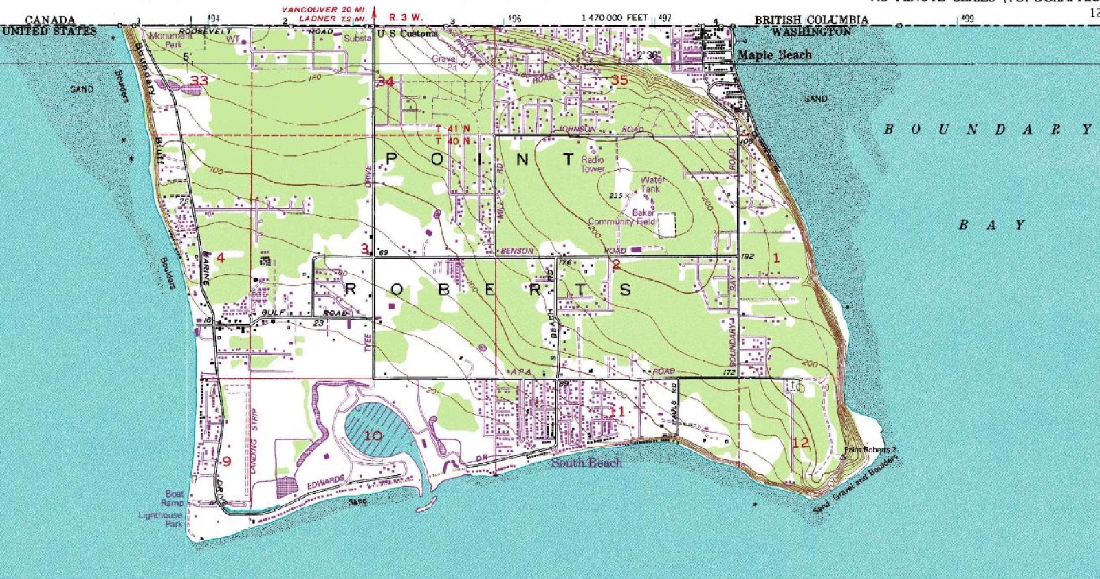
The American town reached through Canada

Point Roberts, Washington

A border drawn along the 49th parallel left a US community attached by land only to Canada.

Map, evidence and context →
Odd boundaries · US National Park Service

The library on an international border

Derby Line, Vermont

A public building is crossed by the boundary between the United States and Canada.

Map, evidence and context →
Heritage · US National Park Service

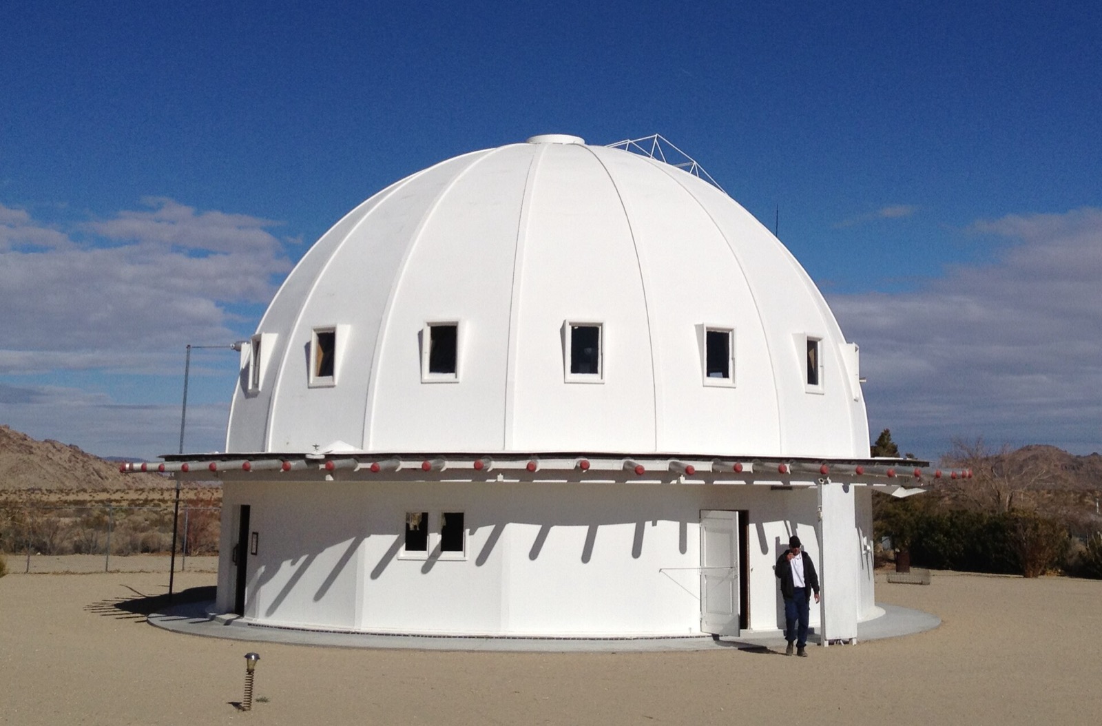
The sound dome in the desert

Landers, California

A timber dome links experimental architecture, acoustics and desert mythology.

Map, evidence and context →
Heritage · US National Park Service

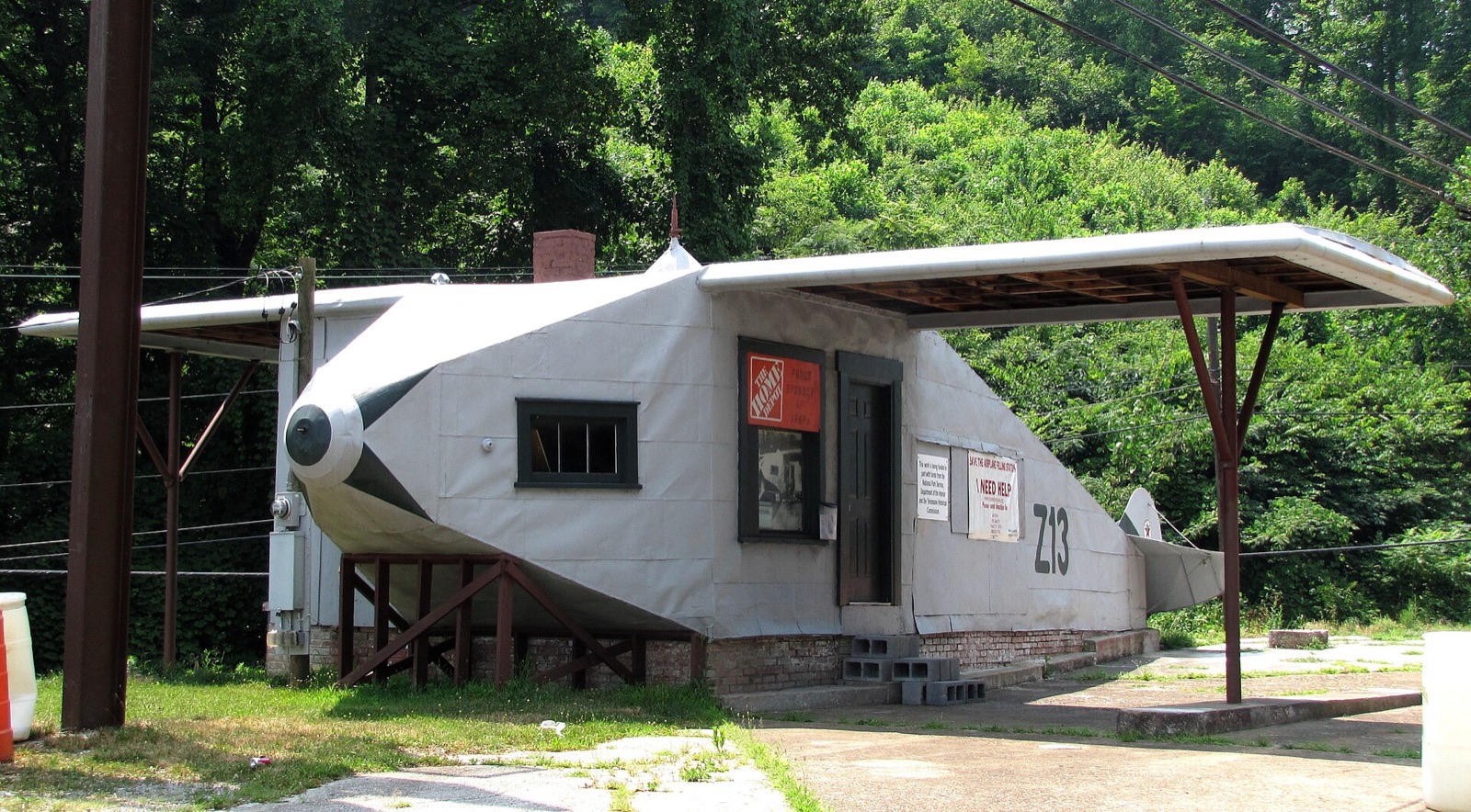
The petrol station shaped like a plane

Powell, Tennessee

Roadside architecture turned a service station into an aeroplane.

Map, evidence and context →
Natural world · GBIF

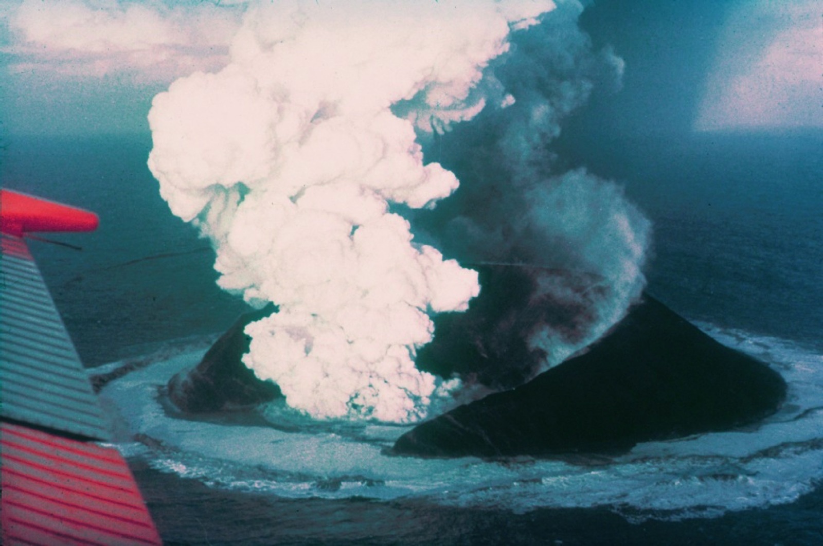
The island born in living memory

Vestmannaeyjar, Iceland

A volcanic island emerged from the Atlantic during eruptions in the 1960s.

Map, evidence and context →
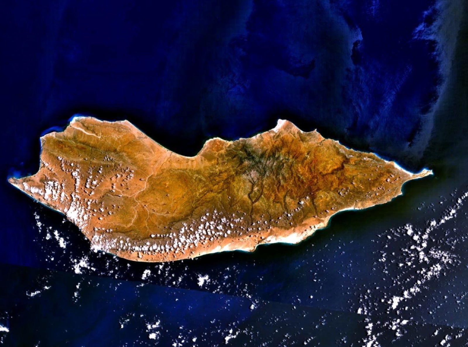
Natural world · GBIF

The island of dragon’s blood trees

Socotra, Yemen

High endemism gives the archipelago a biological character found nowhere else.

Map, evidence and context →
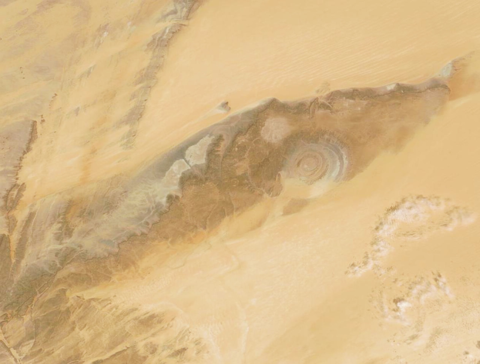
Natural world · US Geological Survey

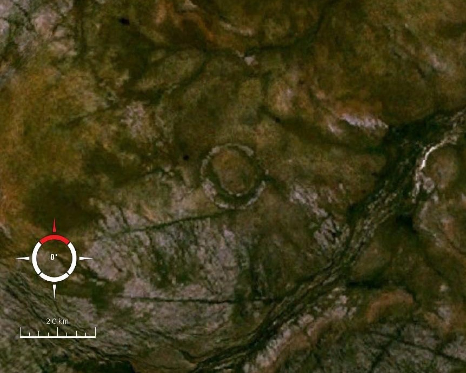
The eye visible from orbit

Adrar Plateau, Mauritania

Concentric geological rings form an enormous circular structure in the Sahara.

Map, evidence and context →
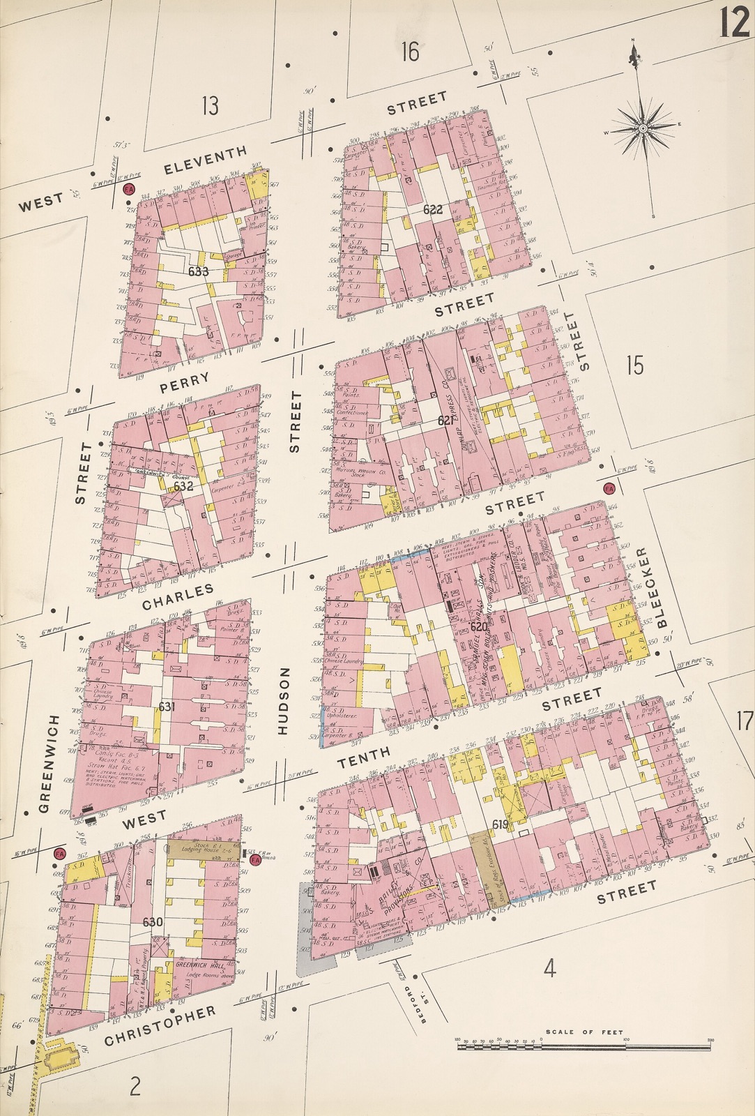
Heritage · Library of Congress

The city recorded building by building

New York City, United States

Fire-insurance maps preserve vanished tanks, yards, passages and industrial footprints.

Map, evidence and context →
Heritage · Wikidata global places

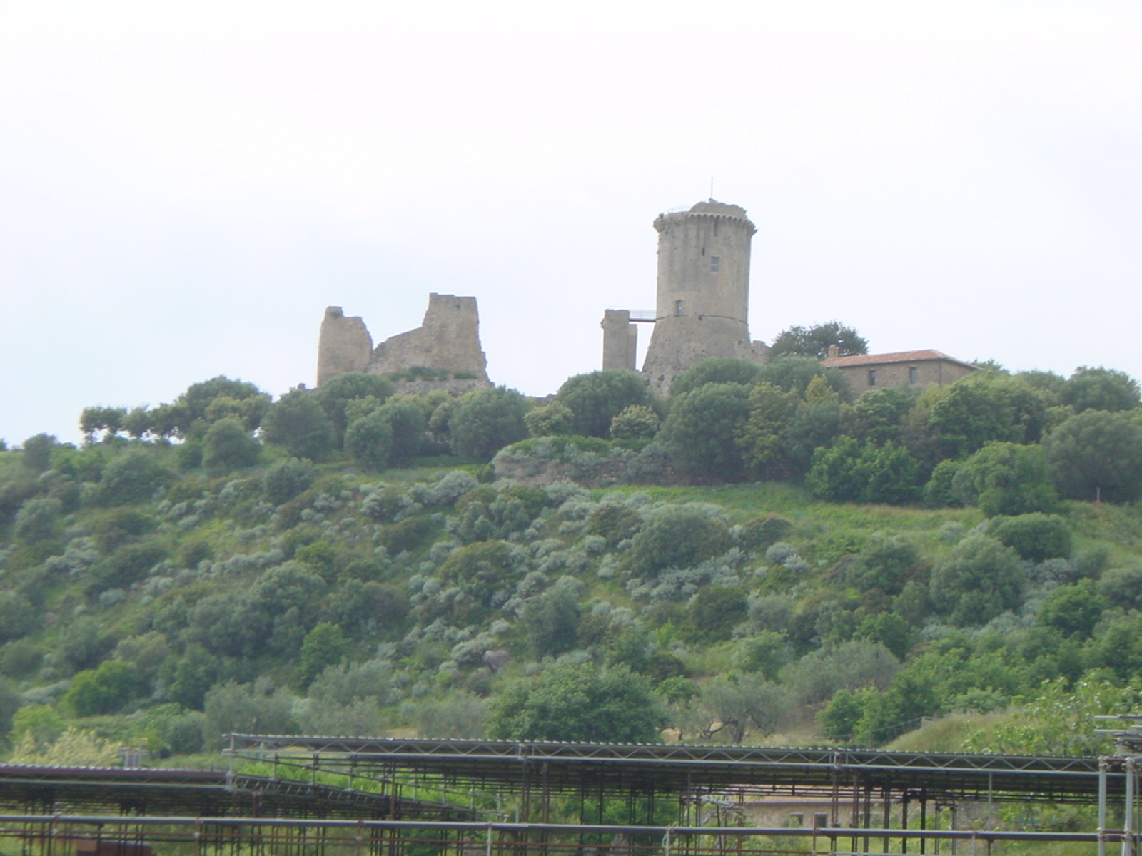
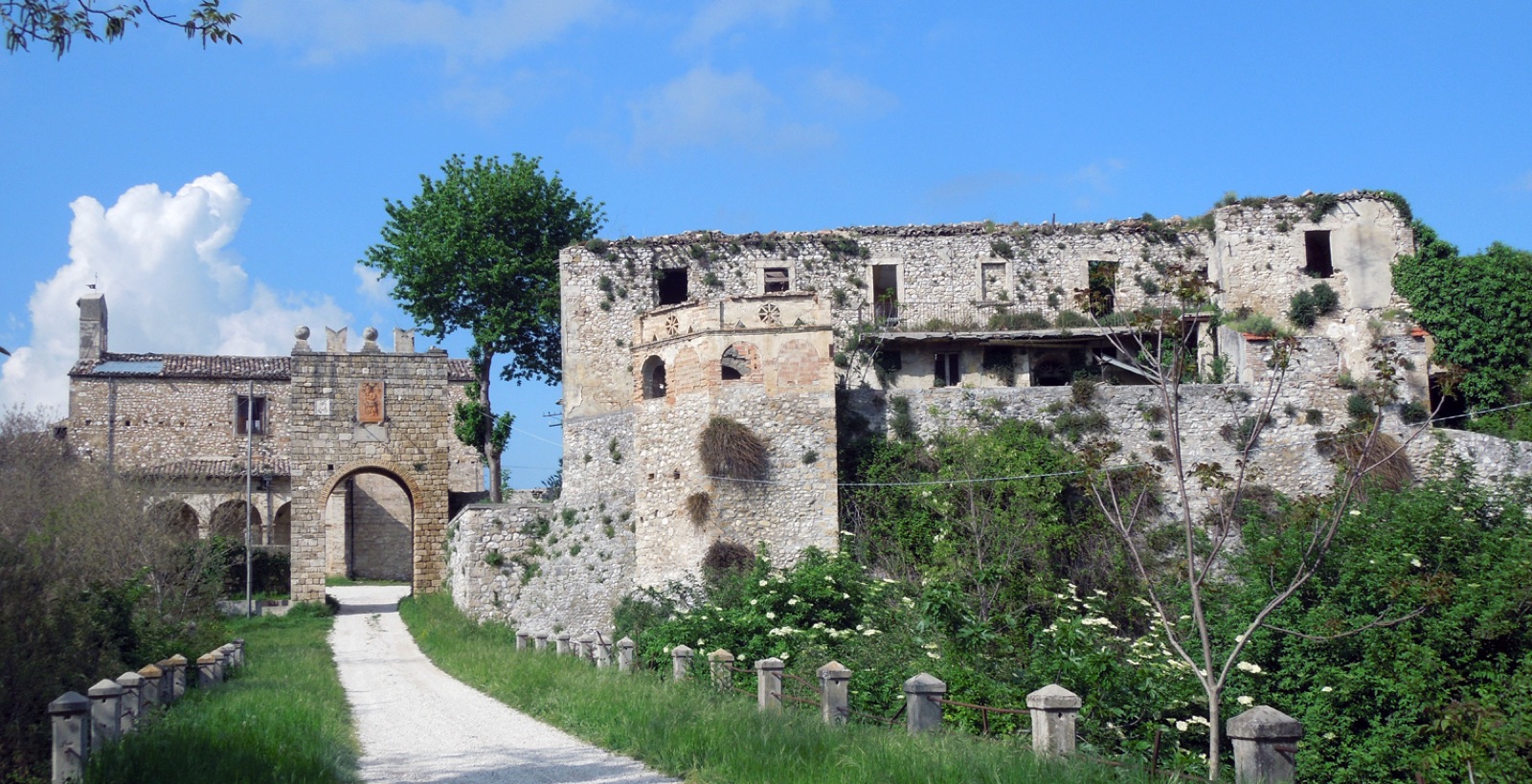
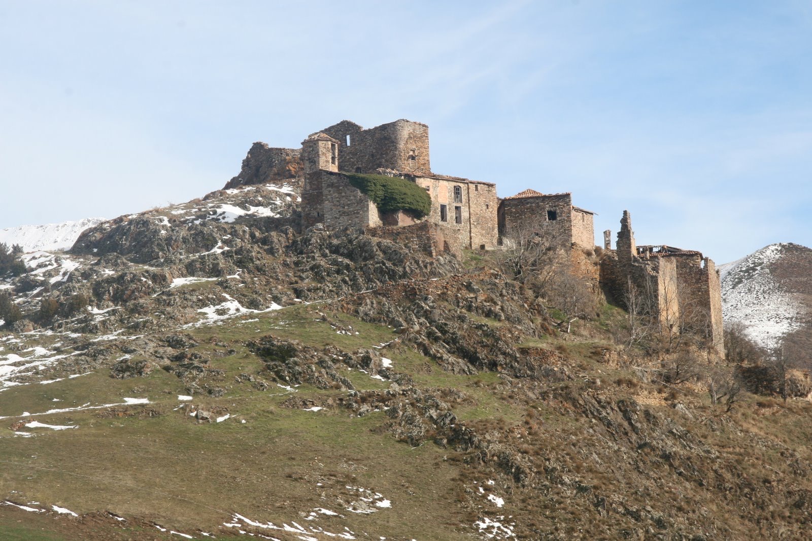
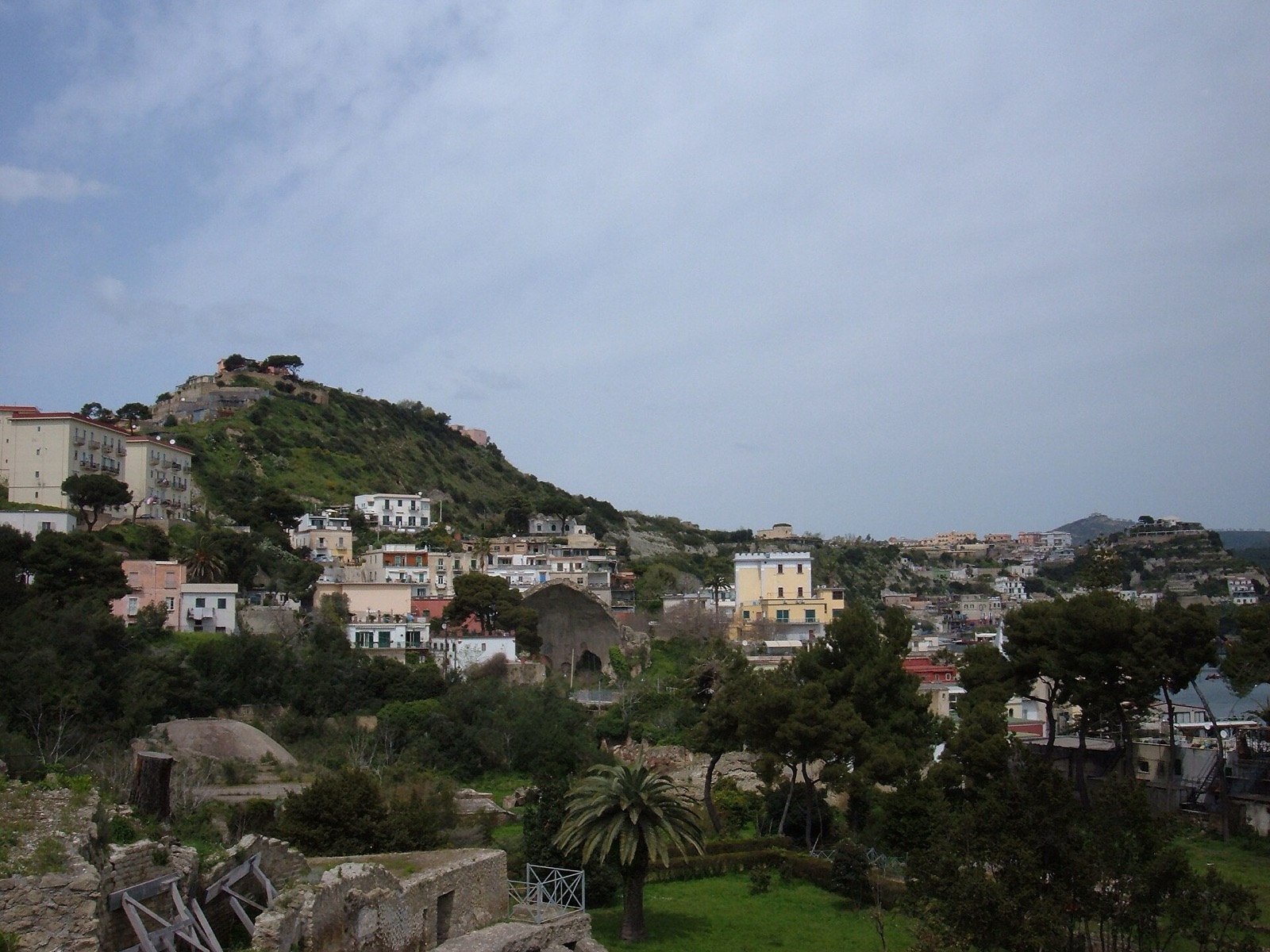
Castellammare della Bruca

Italy

medieval fortified village, now deserted town, built on the acropolis of the ancient Greek colony Elea-Velia, South Italy, Campania region

Map, evidence and context →
Heritage · Wikidata global places

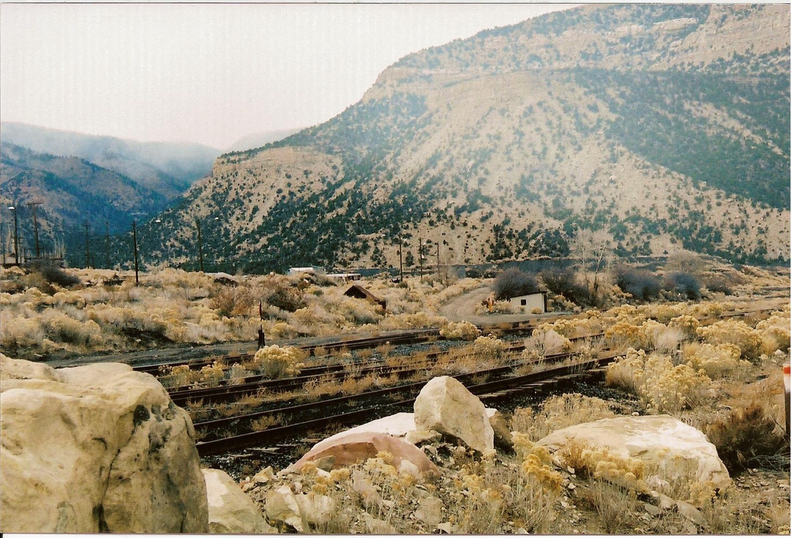
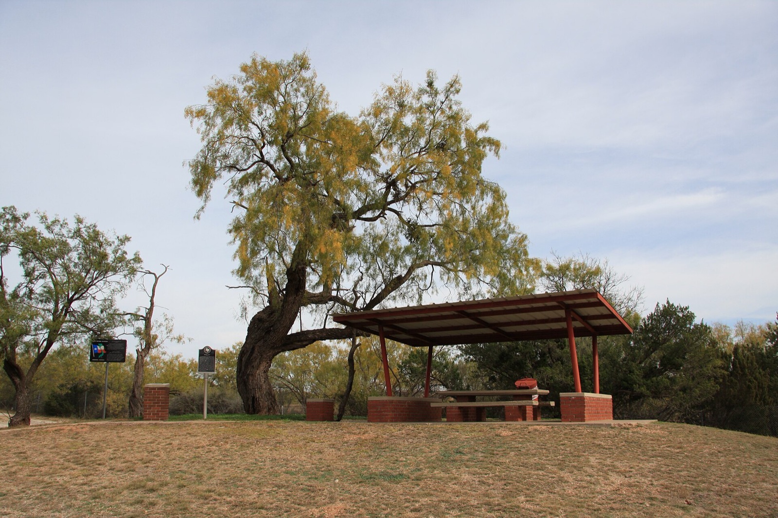
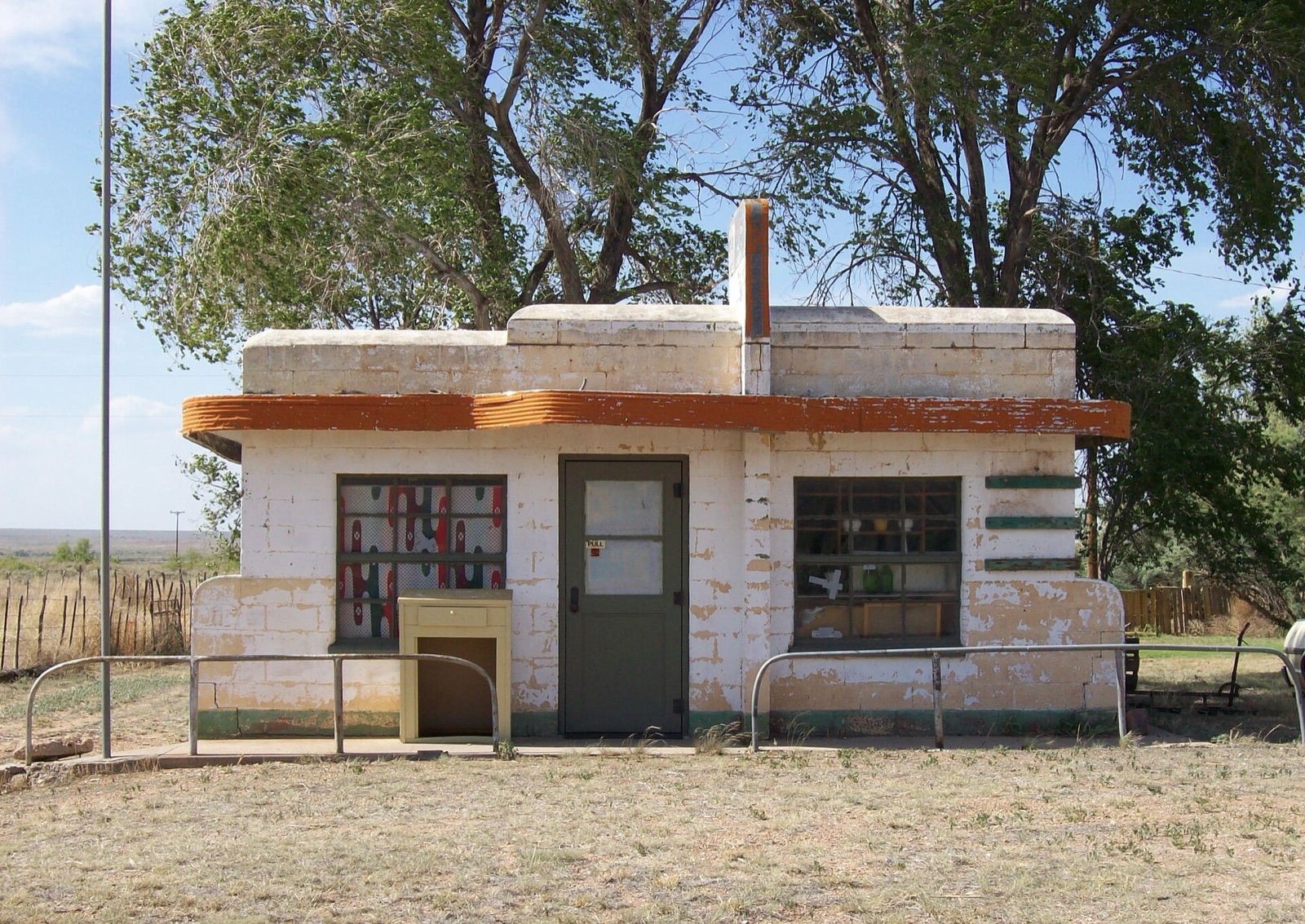
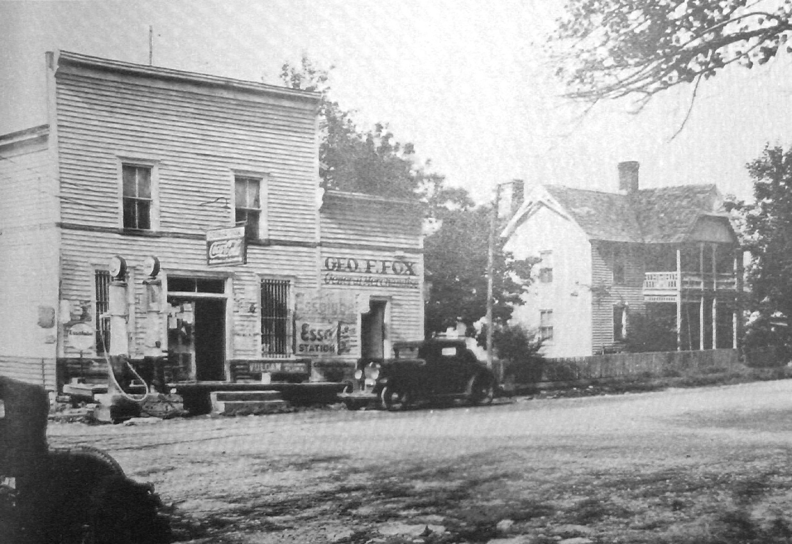
Thurber

United States

unincorporated community in Erath County, Texas, United States (near the Palo Pinto county line), located 75 miles west of Fort Worth

Map, evidence and context →
Natural world · Wikidata global places

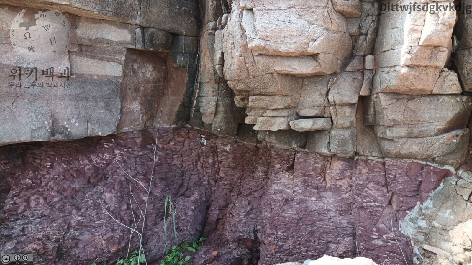
Tumblagooda sandstone

Australia

Fine- to medium-grained sandstones; minor conglomerate; red,commonly bioturbated siltstone towards the top of the unit. Located in Western Australia

Map, evidence and context →
Natural world · Wikidata global places

Wallumbilla Formation

Australia

marine grey mudstone and siltstone with minor interbeds of fine-grained glauconitic and calcareous sandstone, local thin micritic limestone beds and heavy mineral strandline accumulations; d

Map, evidence and context →
Natural world · Wikidata global places

Eumeralla Formation

Australia

Volcanilithic sandstone, siltstone, mudstone, mud-clast conglomerate, with feldspar and quartz grains, and coal: fine to medium grained, consolidated, well-bedded, cross-bedded; braided stre

Map, evidence and context →
Natural world · Wikidata global places

Ranquil Formation

Chile

Miocene and Pliocene sedimentary formation located in Arauco Province in south–central Chile, including outcrops in Mocha Island

Map, evidence and context →
Natural world · Wikidata global places

Purlawaugh Formation

Australia

Fine to medium grained lithic to labile sandstone thinly interbedded with siltstone, mudstone and thin coal seams. Abundant carbonaceous fragments, thin beds of flint clay.

Map, evidence and context →
Natural world · Wikidata global places

Bungil Formation

Australia

geological formation in Australia. Glauconitic, labile to quartzose, siltstone, mudstone. Subdominant coarse-grained quartzose sandstone in some areas. Minor thin coal seams.

Map, evidence and context →
Natural world · Wikidata global places

Allaru Formation

Australia

primarily blue-grey mudstone (partly pyritic) and interbedded calcareous siltstone, cone-in-cone limestone and lesser sandstone

Map, evidence and context →
Natural world · Wikidata global places

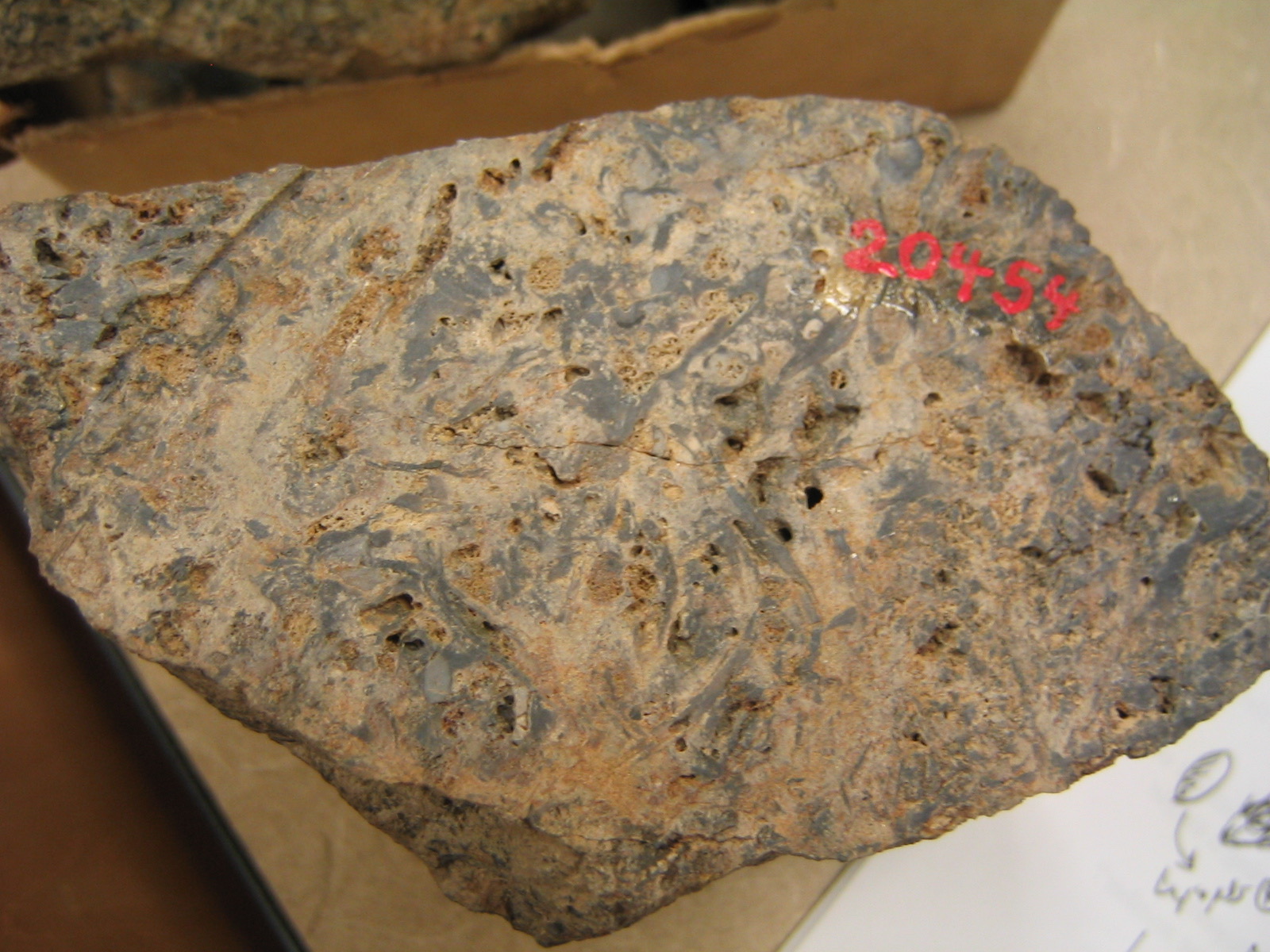
El Salto Formation

Nicaragua

Early Pliocene geological formation in Managua Department, Nicaragua, exposed mainly near San Rafael del Sur and preserving a mysticete fossil at Mine K-11

Map, evidence and context →
Heritage · Historic England Protected wrecks

HMS/m A1

England, United Kingdom

HMS/m A1 is recorded by Historic England as a protected wreck covering approximately 28.257 hectares.

Map, evidence and context →
Heritage · Historic England Protected wrecks

YARMOUTH ROADS

England, United Kingdom

YARMOUTH ROADS is recorded by Historic England as a protected wreck covering approximately 0.785 hectares.

Map, evidence and context →
Heritage · Historic England Protected wrecks

STUDLAND BAY WRECK

England, United Kingdom

STUDLAND BAY WRECK is recorded by Historic England as a protected wreck covering approximately 1.766 hectares.

Map, evidence and context →
Heritage · Historic England Protected wrecks

RILL COVE

England, United Kingdom

RILL COVE is recorded by Historic England as a protected wreck covering approximately 3.14 hectares.

Map, evidence and context →
Heritage · Historic England Protected wrecks

The Hazardous (formerly Le Hazardeux)

England, United Kingdom

The Hazardous (formerly Le Hazardeux) is recorded by Historic England as a protected wreck covering approximately 7.073 hectares.

Map, evidence and context →
Heritage · Historic England Protected wrecks

SCHIEDAM

England, United Kingdom

SCHIEDAM is recorded by Historic England as a protected wreck covering approximately 1.766 hectares.

Map, evidence and context →
Heritage · Historic England Protected wrecks

MOOR SAND

England, United Kingdom

MOOR SAND is recorded by Historic England as a protected wreck covering approximately 28.257 hectares.

Map, evidence and context →
Heritage · Historic England Protected wrecks

IONA II

England, United Kingdom

IONA II is recorded by Historic England as a protected wreck covering approximately 0.785 hectares.

Map, evidence and context →
Heritage · Historic England Protected wrecks

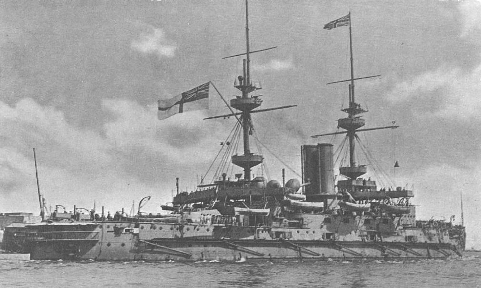
HMS INVINCIBLE

England, United Kingdom

HMS INVINCIBLE is recorded by Historic England as a protected wreck covering approximately 3.14 hectares.

Map, evidence and context →
Heritage · Historic England Protected wrecks

GULL ROCK

England, United Kingdom

GULL ROCK is recorded by Historic England as a protected wreck covering approximately 3.14 hectares.

Map, evidence and context →
Heritage · Historic England Protected wrecks

ERME INGOT

England, United Kingdom

ERME INGOT is recorded by Historic England as a protected wreck covering approximately 3.14 hectares.

Map, evidence and context →
Heritage · Historic England Protected wrecks

AMSTERDAM

England, United Kingdom

AMSTERDAM is recorded by Historic England as a protected wreck covering approximately 3.14 hectares.

Map, evidence and context →
Heritage · Historic England Protected wrecks

STIRLING CASTLE

England, United Kingdom

STIRLING CASTLE is recorded by Historic England as a protected wreck covering approximately 28.284 hectares.

Map, evidence and context →
Heritage · Historic England Protected wrecks

RESTORATION

England, United Kingdom

RESTORATION is recorded by Historic England as a protected wreck covering approximately 28.257 hectares.

Map, evidence and context →
Heritage · Historic England Protected wrecks

NORTHUMBERLAND

England, United Kingdom

NORTHUMBERLAND is recorded by Historic England as a protected wreck covering approximately 28.257 hectares.

Map, evidence and context →
Heritage · Historic England Protected wrecks

Langdon Bay

England, United Kingdom

Langdon Bay is recorded by Historic England as a protected wreck covering approximately 7.064 hectares.

Map, evidence and context →
Heritage · Historic England Protected wrecks

ANNE

England, United Kingdom

ANNE is recorded by Historic England as a protected wreck covering approximately 1.766 hectares.

Map, evidence and context →
Heritage · Historic England Protected wrecks

GRACE DIEU and the possible site of the HOLIGOST

England, United Kingdom

GRACE DIEU and the possible site of the HOLIGOST is recorded by Historic England as a protected wreck covering approximately 2.271 hectares.

Map, evidence and context →
Heritage · Historic England Protected wrecks

ADMIRAL GARDNER

England, United Kingdom

ADMIRAL GARDNER is recorded by Historic England as a protected wreck covering approximately 28.257 hectares.

Map, evidence and context →
Heritage · Historic England Protected wrecks

TEARING LEDGE

England, United Kingdom

TEARING LEDGE is recorded by Historic England as a protected wreck covering approximately 12.559 hectares.

Map, evidence and context →
Heritage · Historic England Protected wrecks

CHURCH ROCKS

England, United Kingdom

CHURCH ROCKS is recorded by Historic England as a protected wreck covering approximately 2.69 hectares.

Map, evidence and context →
Heritage · Historic England Protected wrecks

CATTEWATER

England, United Kingdom

CATTEWATER is recorded by Historic England as a protected wreck covering approximately 0.785 hectares.

Map, evidence and context →
Heritage · Historic England Protected wrecks

BARTHOLOMEW LEDGES

England, United Kingdom

BARTHOLOMEW LEDGES is recorded by Historic England as a protected wreck covering approximately 7.064 hectares.

Map, evidence and context →
Heritage · Historic England Protected wrecks

ST ANTHONY

England, United Kingdom

ST ANTHONY is recorded by Historic England as a protected wreck covering approximately 7.067 hectares.

Map, evidence and context →
Heritage · Historic England Protected wrecks

ROYAL ANNE

England, United Kingdom

ROYAL ANNE is recorded by Historic England as a protected wreck covering approximately 12.563 hectares.

Map, evidence and context →
Heritage · Historic England Protected wrecks

CORONATION OFFSHORE

England, United Kingdom

CORONATION OFFSHORE is recorded by Historic England as a protected wreck covering approximately 7.064 hectares.

Map, evidence and context →
Heritage · Historic England Protected wrecks

CORONATION INSHORE

England, United Kingdom

CORONATION INSHORE is recorded by Historic England as a protected wreck covering approximately 19.623 hectares.

Map, evidence and context →
Heritage · Historic England Protected wrecks

ERME ESTUARY

England, United Kingdom

ERME ESTUARY is recorded by Historic England as a protected wreck covering approximately 19.623 hectares.

Map, evidence and context →
Heritage · Historic England Protected wrecks

Hanover

England, United Kingdom

Hanover is recorded by Historic England as a protected wreck covering approximately 7.065 hectares.

Map, evidence and context →
Heritage · Historic England Protected wrecks

DUNWICH BANK

England, United Kingdom

DUNWICH BANK is recorded by Historic England as a protected wreck covering approximately 7.064 hectares.

Map, evidence and context →
Heritage · Historic England Protected wrecks

SALCOMBE CANNON SITE

England, United Kingdom

SALCOMBE CANNON SITE is recorded by Historic England as a protected wreck covering approximately 19.623 hectares.

Map, evidence and context →
Heritage · Historic England Protected wrecks

MARY ROSE

England, United Kingdom

MARY ROSE is recorded by Historic England as a protected wreck covering approximately 28.257 hectares.

Map, evidence and context →
Heritage · Historic England Protected wrecks

LOE BAR WRECK

England, United Kingdom

LOE BAR WRECK is recorded by Historic England as a protected wreck covering approximately 19.623 hectares.

Map, evidence and context →
Heritage · Historic England Protected wrecks

SEATON CAREW

England, United Kingdom

SEATON CAREW is recorded by Historic England as a protected wreck covering approximately 3.14 hectares.

Map, evidence and context →
Heritage · Historic England Protected wrecks

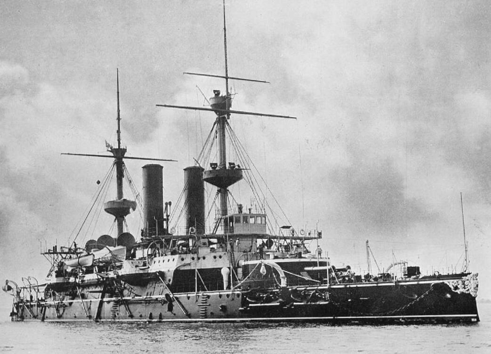
HMS Colossus

England, United Kingdom

HMS Colossus is recorded by Historic England as a protected wreck covering approximately 39.985 hectares.

Map, evidence and context →
Heritage · Historic England Protected wrecks

SOUTH EDINBURGH CHANNEL

England, United Kingdom

SOUTH EDINBURGH CHANNEL is recorded by Historic England as a protected wreck covering approximately 3.139 hectares.

Map, evidence and context →
Heritage · Historic England Protected wrecks

FILEY BAY WRECK

England, United Kingdom

FILEY BAY WRECK is recorded by Historic England as a protected wreck covering approximately 28.257 hectares.

Map, evidence and context →
Heritage · Historic England Protected wrecks

HOLLAND NO. 5

England, United Kingdom

HOLLAND NO. 5 is recorded by Historic England as a protected wreck covering approximately 12.559 hectares.

Map, evidence and context →
Heritage · Historic England Protected wrecks

SWASH CHANNEL WRECK

England, United Kingdom

SWASH CHANNEL WRECK is recorded by Historic England as a protected wreck covering approximately 2.003 hectares.

Map, evidence and context →
Heritage · Historic England Protected wrecks

WEST BAY

England, United Kingdom

WEST BAY is recorded by Historic England as a protected wreck covering approximately 0.785 hectares.

Map, evidence and context →
Heritage · Historic England Protected wrecks

NORMAN'S BAY

England, United Kingdom

NORMAN'S BAY is recorded by Historic England as a protected wreck covering approximately 3.142 hectares.

Map, evidence and context →
Heritage · Historic England Protected wrecks

The Rooswijk

England, United Kingdom

The Rooswijk is recorded by Historic England as a protected wreck covering approximately 15.892 hectares.

Map, evidence and context →
Heritage · Historic England Protected wrecks

WHEEL WRECK

England, United Kingdom

WHEEL WRECK is recorded by Historic England as a protected wreck covering approximately 1.766 hectares.

Map, evidence and context →
Heritage · Historic England Protected wrecks

THE NEEDLES SITE

England, United Kingdom

THE NEEDLES SITE is recorded by Historic England as a protected wreck covering approximately 12.559 hectares.

Map, evidence and context →
Heritage · Historic England Protected wrecks

LONDON

England, United Kingdom

LONDON is recorded by Historic England as a protected wreck covering approximately 0.677 hectares.

Map, evidence and context →
Heritage · Historic England Protected wrecks

Unknown Wreck (GAD8; previously known as the 'Goodwins Cannon Site')

England, United Kingdom

Unknown Wreck (GAD8; previously known as the 'Goodwins Cannon Site') is recorded by Historic England as a protected wreck covering approximately 0.785 hectares.

Map, evidence and context →
Heritage · Historic England Protected wrecks

Unknown Wreck off Thorness Bay

England, United Kingdom

Unknown Wreck off Thorness Bay is recorded by Historic England as a protected wreck covering approximately 1.768 hectares.

Map, evidence and context →
Heritage · Historic England Protected wrecks

Association

England, United Kingdom

Association is recorded by Historic England as a protected wreck covering approximately 0.784 hectares.

Map, evidence and context →
Heritage · Historic England Protected wrecks

HM submarine A3

England, United Kingdom

HM submarine A3 is recorded by Historic England as a protected wreck covering approximately 0.786 hectares.

Map, evidence and context →
Heritage · Historic England Protected wrecks

SM U-8

England, United Kingdom

SM U-8 is recorded by Historic England as a protected wreck covering approximately 0.785 hectares.

Map, evidence and context →

Behaviour & Pattern Lab

Ask strange questions. Get an honest baseline.

Combine names, climate, type and geography, then compare nearby public UAP reports. Every result shows its sample and the biases that could explain it.

Loading climate and report-distance intelligence…

Automatically detected associations

Ranked by effect size and group size. These are leads to investigate, not proof.

50 ways into the atlas

Slice the same evidence fifty different ways.

Coordinate distribution map

From the whole world to one country.

Every dot is an approved place with a published coordinate. Select a continent or country, then click a dot to inspect it.

Coordinate map of unusual places.
Select a map level or click a coordinate to inspect a place.Open place →

Where the odd clusters

Countries, cities, continents and seasons compared.

Counts show catalogue concentration. Average weirdness and evidence rankings require at least three records so a single place cannot win by itself.

Countries with most oddities

Approved records by country.

Countries with the weirdest mix

Highest average weirdness, minimum three records.

Countries with strongest evidence

Highest average evidence score, minimum three records.

Cities with most nearby oddities

Grouped by nearest mapped settlement.

Cities with the weirdest surroundings

Highest average weirdness, minimum three nearby records.

Oddities by continent

How the approved catalogue is distributed.

Best-month availability

How many records include each month as a broad visiting window.

Oddity type × continent

A two-dimensional count makes regional data gaps and specialisms visible.

Country ranking table

Count, average weirdness, average evidence and the country’s highest-ranked place.