Filter 3,416 quality-approved unusual places by type, continent, best month and weirdness score; compare rankings in cards or a sortable table. These are crawlable research records, not an indiscriminate directory: reports without enough depth remain available for exploration but are excluded from search indexing.
Chilton
United Kingdom
village and civil parish in Suffolk, United Kingdom
Map, evidence and context →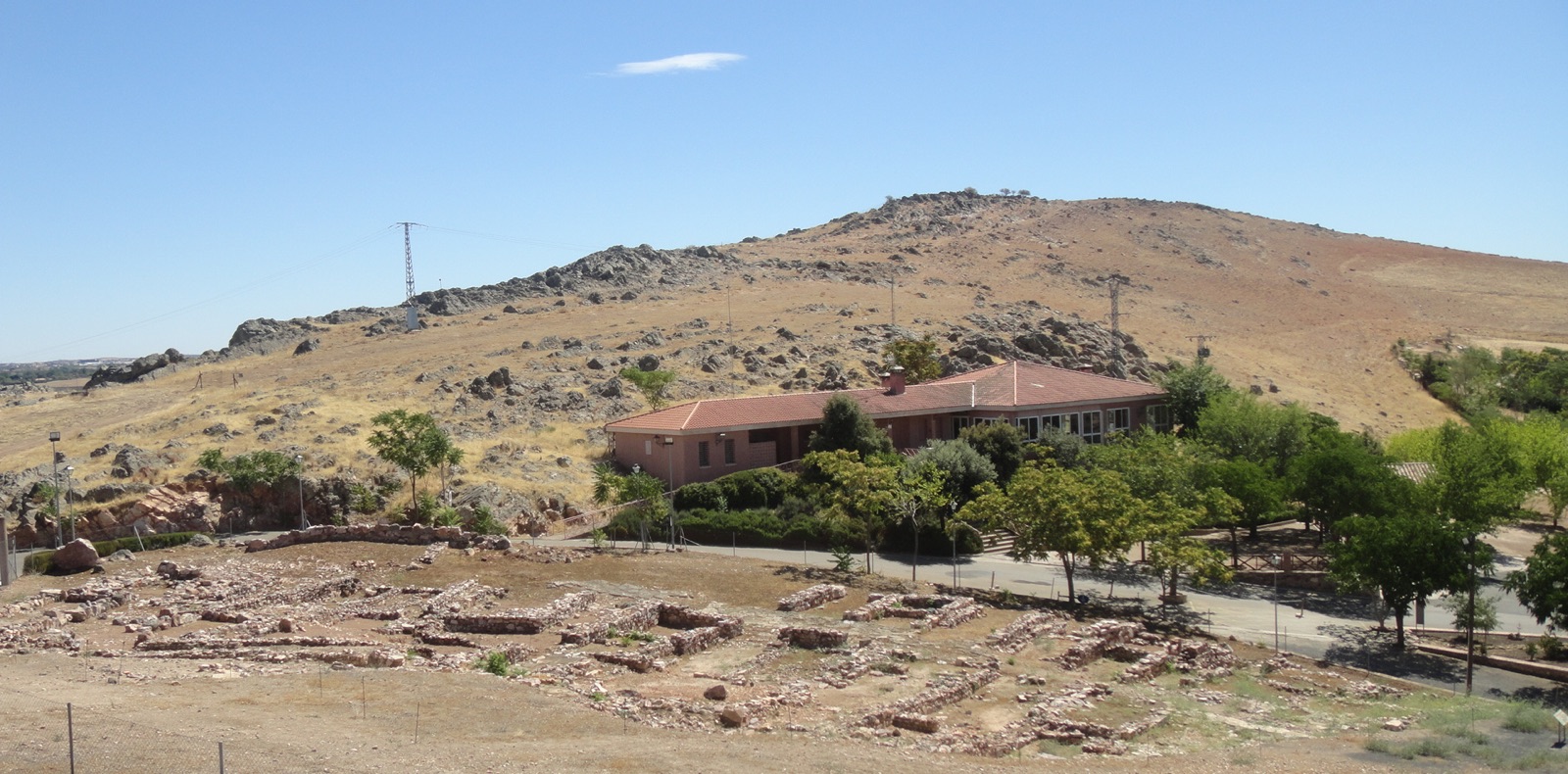 DESERTED MEDIEVAL VILLAGE · Expanded physical oddities
Alarcos
Spain
human settlement in Ciudad Real Province, Castile-La Mancha, Spain
Map, evidence and context →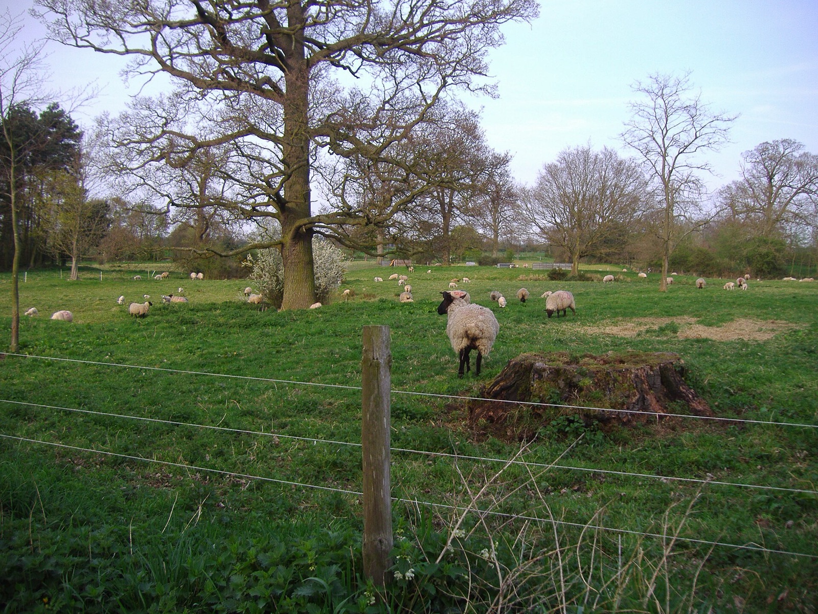 DESERTED MEDIEVAL VILLAGE · Expanded physical oddities
Alethorpe
United Kingdom
former village and civil parish in Norfolk, England, UK
Map, evidence and context →DESERTED MEDIEVAL VILLAGE · Expanded physical odditiesAlton
United Kingdom
deserted medieval village in Leicestershire, United Kingdom
Map, evidence and context →DESERTED MEDIEVAL VILLAGE · Expanded physical odditiesAsterleigh
United Kingdom
deserted medieval village and former civil parish in Oxfordshire, UK
Map, evidence and context →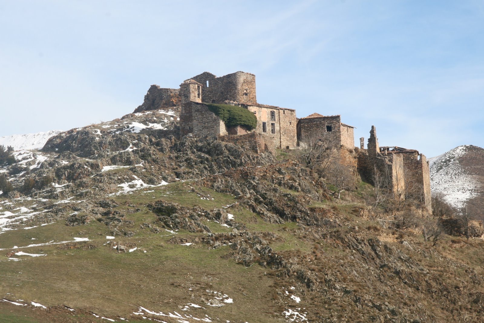 DESERTED MEDIEVAL VILLAGE · Expanded physical oddities
Erillcastell
Spain
human settlement in El Pont de Suert, Alta Ribagorça, Alt Pirineu i Aran, Spain
Map, evidence and context →DESERTED MEDIEVAL VILLAGE · Expanded physical odditiesCestersover
United Kingdom
deserted medieval village in Warwickshire, England, UK
Map, evidence and context →DESERTED MEDIEVAL VILLAGE · Expanded physical odditiesWharram Percy
United Kingdom
deserted medieval village in North Yorkshire, England, UK
Map, evidence and context →DESERTED MEDIEVAL VILLAGE · Expanded physical odditiesCratley
United Kingdom
deserted medieval village in Nottinghamshire, England, UK
Map, evidence and context →DESERTED MEDIEVAL VILLAGE · Expanded physical odditiesDexthorpe
United Kingdom
deserted medieval village in Lincolnshire, England, UK
Map, evidence and context →DESERTED MEDIEVAL VILLAGE · Expanded physical odditiesElkington
United Kingdom
hamlet and civil parish in Northamptonshire, England
Map, evidence and context →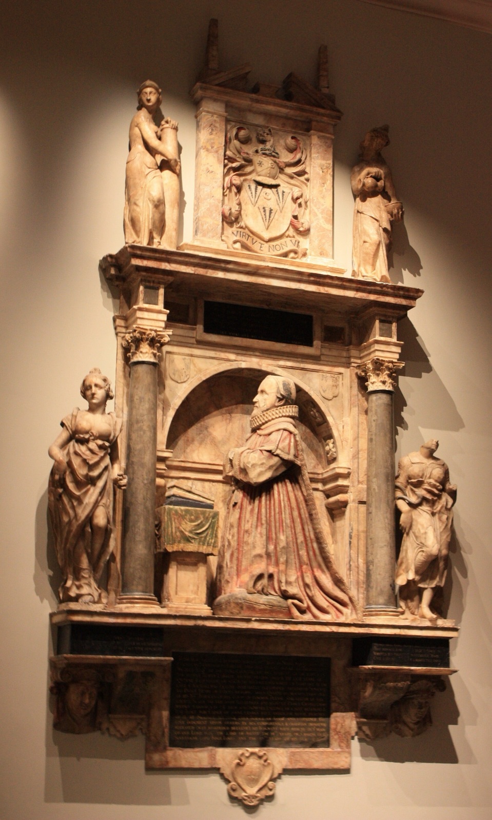 DESERTED MEDIEVAL VILLAGE · Expanded physical oddities
Faxton
United Kingdom
human settlement in Lamport, West Northamptonshire, England, UK
Map, evidence and context →DESERTED MEDIEVAL VILLAGE · Expanded physical odditiesFurtho
United Kingdom
former village and civil parish in Northamptonshire, England, UK
Map, evidence and context →DESERTED MEDIEVAL VILLAGE · Expanded physical odditiesGainsthorpe
United Kingdom
deserted medieval village in Lincolnshire, England, UK
Map, evidence and context →DESERTED MEDIEVAL VILLAGE · Expanded physical odditiesGlendon
United Kingdom
former village and civil parish in Northamptonshire, United Kingdom
Map, evidence and context →DESERTED MEDIEVAL VILLAGE · Expanded physical odditiesHaycroft
United Kingdom
deserted village in Spurstow, Cheshire, England, UK
Map, evidence and context →DESERTED MEDIEVAL VILLAGE · Expanded physical odditiesIzuel
Spain
uninhabited village of medieval origin in Jacetania, Huesca
Map, evidence and context →DESERTED MEDIEVAL VILLAGE · Expanded physical odditiesWauldby
United Kingdom
former village and civil parish in the East Riding of Yorkshire, England, UK
Map, evidence and context →DESERTED MEDIEVAL VILLAGE · Expanded physical odditiesOxnead
United Kingdom
deserted medieval village in Norfolk, United Kingdom
Map, evidence and context →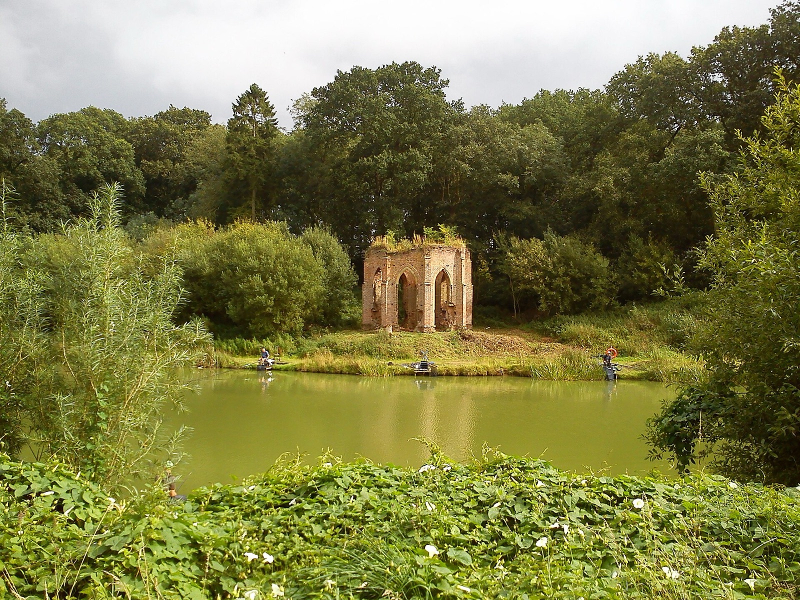 DESERTED MEDIEVAL VILLAGE · Expanded physical oddities
Risby
United Kingdom
deserted medieval village in East Riding of Yorkshire, UK
Map, evidence and context →DESERTED MEDIEVAL VILLAGE · Expanded physical odditiesScrafield
United Kingdom
deserted medieval village in Lincolnshire, United Kingdom
Map, evidence and context →DESERTED MEDIEVAL VILLAGE · Expanded physical odditiesSeacourt
United Kingdom
deserted medieval village in Oxfordshire, England, UK
Map, evidence and context →DESERTED MEDIEVAL VILLAGE · Expanded physical odditiesUlnaby
United Kingdom
deserted medieval village in County Durham, England, UK
Map, evidence and context →DESERTED MEDIEVAL VILLAGE · Expanded physical odditiesWest Wykeham
United Kingdom
deserted medieval village in East Lindsey, Lincolnshire, England, UK
Map, evidence and context →DESERTED MEDIEVAL VILLAGE · Expanded physical odditiesWykeham
United Kingdom
deserted medieval village in Nettleton, Lincolnshire, United Kingdom
Map, evidence and context →DESERTED MEDIEVAL VILLAGE · Expanded physical odditiesCatarecha
Spain
human settlement in Valle de Hecho, Huesca Province, Aragon, Spain
Map, evidence and context →DESERTED MEDIEVAL VILLAGE · Expanded physical odditiesSanta Croche
Spain
human settlement in Teruel Province, Aragon, Spain
Map, evidence and context →DESERTED MEDIEVAL VILLAGE · Expanded physical odditiesHolme
United Kingdom
abandoned village in West Lindsey, Lincolnshire, England, UK
Map, evidence and context →DESERTED MEDIEVAL VILLAGE · Expanded physical odditiesCaldecote
United Kingdom
abandoned village in the parish of Oxborough, Breckland, Norfolk, England
Map, evidence and context →DESERTED MEDIEVAL VILLAGE · Expanded physical odditiesMintlyn
United Kingdom
deserted medieval village and former civil parish in Norfolk, United Kingdom
Map, evidence and context →DESERTED MEDIEVAL VILLAGE · Expanded physical odditiesDeserted medieval village
United Kingdom
archaeological site in Cotes, Leicestershire, England, UK
Map, evidence and context →DESERTED MEDIEVAL VILLAGE · Expanded physical odditiesDeserted village at Wintringham
United Kingdom
archaeological site in Abbotsley, Huntingdonshire, England, UK
Map, evidence and context →DESERTED MEDIEVAL VILLAGE · Expanded physical odditiesMedieval settlement on Ford Waste
United Kingdom
human settlement in Cornwood, South Hams, Devon, England, UK
Map, evidence and context →DESERTED MEDIEVAL VILLAGE · Expanded physical odditiesMedieval settlement of Southorpe and field system, north east of Southorpe Farm
United Kingdom
human settlement in Hornsea, East Riding of Yorkshire, England, UK
Map, evidence and context →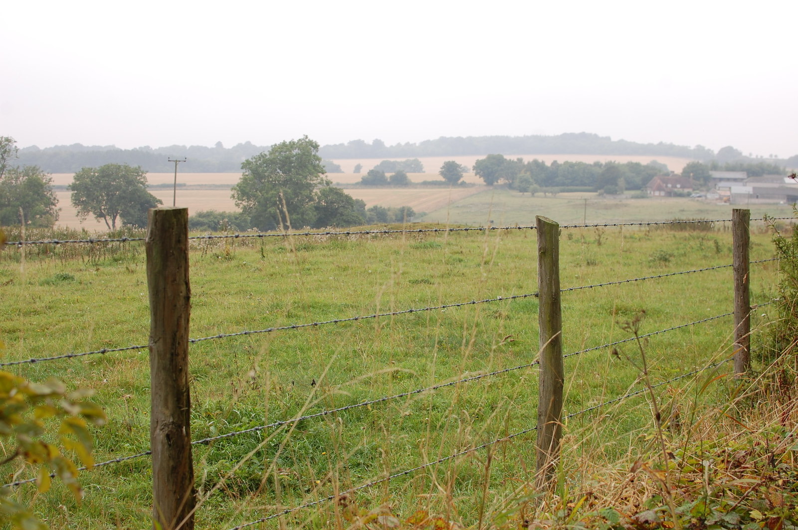 DESERTED MEDIEVAL VILLAGE · Expanded physical oddities
Lomer, deserted medieval settlement
United Kingdom
archaeological site in Exton, Winchester, England, UK
Map, evidence and context →DESERTED MEDIEVAL VILLAGE · Expanded physical odditiesDeserted village of Boughton, NW of Manor Farm
United Kingdom
deserted medieval village in Diddington, Huntingdonshire, England, UK
Map, evidence and context →DESERTED MEDIEVAL VILLAGE · Expanded physical odditiesDeserted village N of Washingley Park
United Kingdom
deserted medieval village in Washingley, Huntingdonshire, Cambridgeshire, England, UK
Map, evidence and context →DESERTED MEDIEVAL VILLAGE · Expanded physical odditiesArgam ancient village site
United Kingdom
archaeological site in Grindale, East Riding of Yorkshire, England, UK
Map, evidence and context →DESERTED MEDIEVAL VILLAGE · Expanded physical odditiesDeserted medieval village
United Kingdom
archaeological site in Boarstall, Buckinghamshire, England, UK
Map, evidence and context →DESERTED MEDIEVAL VILLAGE · Expanded physical odditiesDeserted medieval village
United Kingdom
archaeological site in Grafton Flyford, Worcestershire, England, UK
Map, evidence and context →DESERTED MEDIEVAL VILLAGE · Expanded physical odditiesMedieval village 100m west of Zouches Farm
United Kingdom
human settlement in Caddington, Central Bedfordshire, Bedfordshire, England, UK
Map, evidence and context →DESERTED MEDIEVAL VILLAGE · Expanded physical odditiesMedieval settlement and chapel site N of Newbiggin-on-Lune
United Kingdom
human settlement in Ravenstonedale, Westmorland and Furness, Cumbria , England, UK
Map, evidence and context →DESERTED MEDIEVAL VILLAGE · Expanded physical odditiesMedieval village site
United Kingdom
human settlement in Marden, Wiltshire, England, UK
Map, evidence and context →DESERTED MEDIEVAL VILLAGE · Expanded physical odditiesShrunken medieval village of Colton
United Kingdom
deserted medieval village in Colton, Leeds, West Yorkshire, England, UK
Map, evidence and context →DESERTED MEDIEVAL VILLAGE · Expanded physical odditiesOwlcotes deserted medieval village
United Kingdom
deserted medieval village in Pudsey, West Yorkshire, England, UK
Map, evidence and context →DESERTED MEDIEVAL VILLAGE · Expanded physical odditiesMedieval settlement
United Kingdom
human settlement in Wolsingham, County Durham, England, UK
Map, evidence and context →DESERTED MEDIEVAL VILLAGE · Expanded physical odditiesHumpty Dumpty Field, Radipole
United Kingdom
site of a deserted medieval village in Dorset, England, UK
Map, evidence and context →DESERTED MEDIEVAL VILLAGE · Expanded physical odditiesMedieval settlement remains north of Kenwick Farm house
United Kingdom
human settlement in Tilney All Saints, King's Lynn and West Norfolk, Norfolk, England, UK
Map, evidence and context →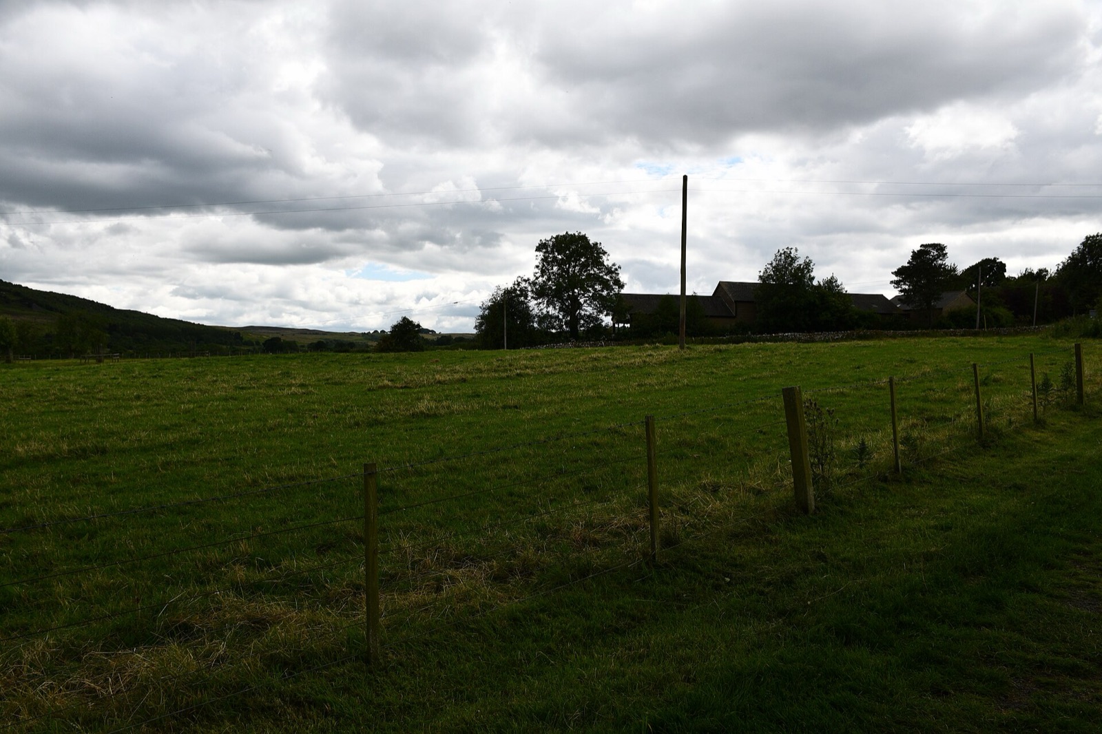 DESERTED MEDIEVAL VILLAGE · Expanded physical oddities
Edlingham deserted village
United Kingdom
deserted medieval village in Edlingham, Northumberland, England, UK
Map, evidence and context →DESERTED MEDIEVAL VILLAGE · Expanded physical odditiesMedieval settlements and lynchets extending NW from Town Head
United Kingdom
human settlement in Malham, Craven, North Yorkshire, England, UK
Map, evidence and context →DESERTED MEDIEVAL VILLAGE · Expanded physical odditiesMedieval village and moated sites at Thrupp End
United Kingdom
human settlement in Lidlington, Central Bedfordshire, Bedfordshire, England, UK
Map, evidence and context →DESERTED MEDIEVAL VILLAGE · Expanded physical odditiesMedieval settlement and field system south of Tresellern Farm, incorporating Prehistoric hut circle settlements
United Kingdom
human settlement in North Hill, Cornwall, England, UK
Map, evidence and context →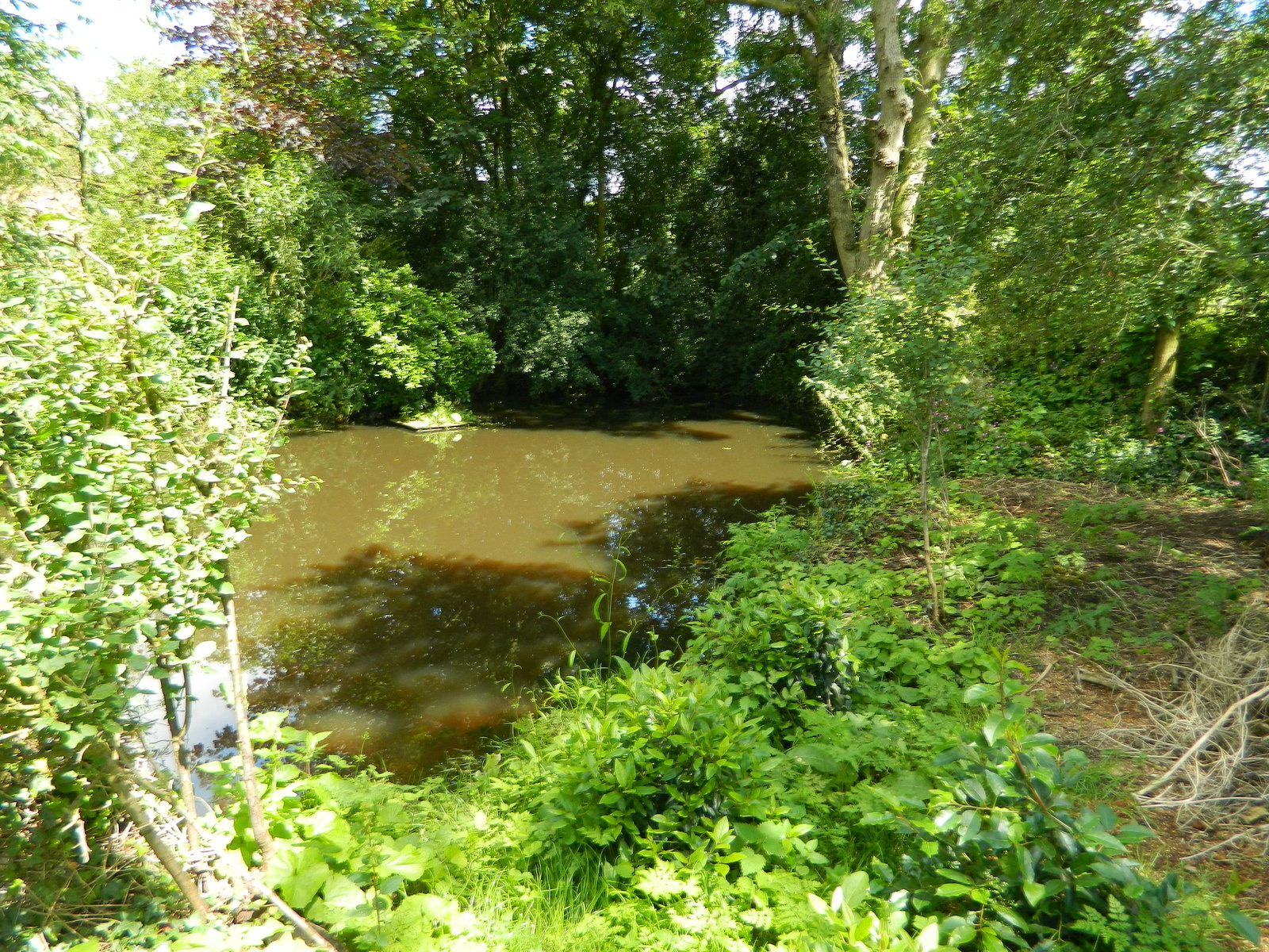 DESERTED MEDIEVAL VILLAGE · Expanded physical oddities
Shrunken medieval village and moated site at Thurvaston
United Kingdom
archaeological site in Osleston and Thurvaston, South Derbyshire, England, UK
Map, evidence and context →DESERTED MEDIEVAL VILLAGE · Expanded physical odditiesMedieval settlement 100m south east and 350m north east of East Ashey Manor Farm
United Kingdom
human settlement in Brading, Isle of Wight, England, UK
Map, evidence and context →DESERTED MEDIEVAL VILLAGE · Expanded physical odditiesMedieval settlement remains immediately west of All Saints' Church
United Kingdom
human settlement in Shouldham, King's Lynn and West Norfolk, Norfolk, England, UK
Map, evidence and context →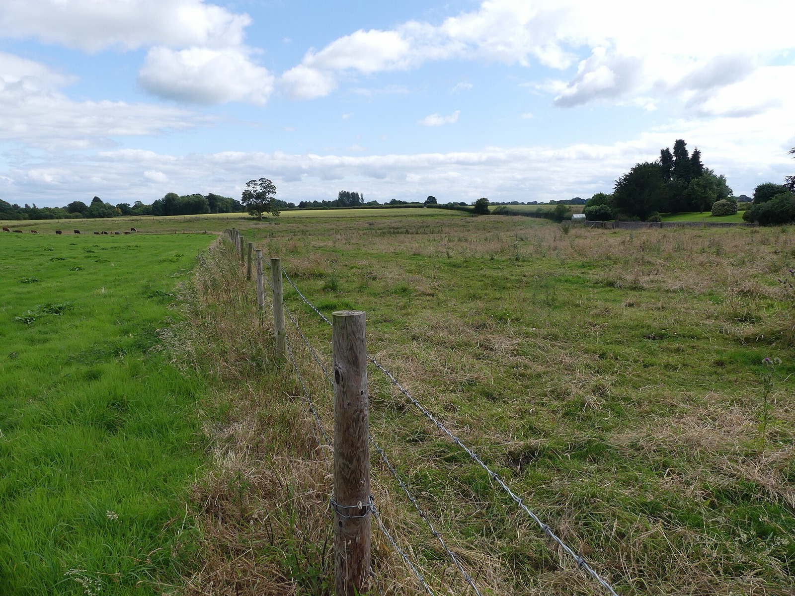 DESERTED MEDIEVAL VILLAGE · Expanded physical oddities
Medieval village remains 230m east of Baddiley Hall
United Kingdom
deserted medieval village in Baddiley, Cheshire East, Cheshire, England, UK
Map, evidence and context →DESERTED MEDIEVAL VILLAGE · Expanded physical odditiesMedieval settlement 470m east of Hartyland
United Kingdom
human settlement in Dartmoor Forest, West Devon, England, UK
Map, evidence and context →DESERTED MEDIEVAL VILLAGE · Expanded physical odditiesMedieval settlement remains immediately south east of Fresden Farm
United Kingdom
human settlement in Highworth, Swindon, Wiltshire, England, UK
Map, evidence and context →DESERTED MEDIEVAL VILLAGE · Expanded physical odditiesMedieval settlement remains immediately north east and 210m south east of White House Farm
United Kingdom
human settlement in Melton, Leicestershire, England,UK
Map, evidence and context →DESERTED MEDIEVAL VILLAGE · Expanded physical odditiesMedieval settlement remains 230m north west and 140m west of the junction of Main Street and Hothorpe Road
United Kingdom
human settlement in Theddingworth, Harborough, Leicestershire, England, UK
Map, evidence and context →DESERTED MEDIEVAL VILLAGE · Expanded physical odditiesMedieval settlement at Coughton Court
United Kingdom
human settlement in Coughton, Stratford-on-Avon, Warwickshire, England, UK
Map, evidence and context →DESERTED MEDIEVAL VILLAGE · Expanded physical odditiesMedieval hamlet of Littlecote
United Kingdom
human settlement in Stewkley, Buckinghamshire, England, UK
Map, evidence and context →DESERTED MEDIEVAL VILLAGE · Expanded physical odditiesMedieval settlement at Thornton-le-Street
United Kingdom
human settlement in Thornton-le-Street, Hambleton, North Yorkshire, England, UK
Map, evidence and context →DESERTED MEDIEVAL VILLAGE · Expanded physical odditiesMedieval settlement at Nobold, 440m east of Lowe Farm
United Kingdom
human settlement in Clipston, West Northamptonshire, England, UK
Map, evidence and context →DESERTED MEDIEVAL VILLAGE · Expanded physical odditiesMedieval settlement at Haselbech
United Kingdom
human settlement in Haselbech, West Northamptonshire, England, UK
Map, evidence and context →DESERTED MEDIEVAL VILLAGE · Expanded physical odditiesMedieval settlement remains at East Farndon
United Kingdom
settlement remains in East Farndon, Northamptonshire, England, UK
Map, evidence and context →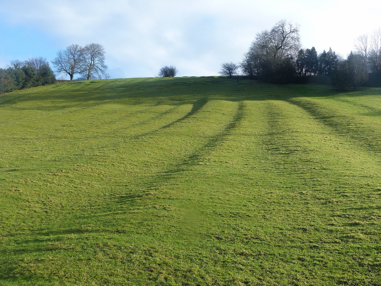 DESERTED MEDIEVAL VILLAGE · Expanded physical oddities
Medieval settlement including part of open field system, 200m south of Bank Farm
United Kingdom
scheduled monument in Mapleton, Derbyshire, England, UK
Map, evidence and context →DESERTED MEDIEVAL VILLAGE · Expanded physical odditiesMedieval settlement in Eastdean Park, 670m north east of Counter's Gate
United Kingdom
human settlement in East Dean, Chichester, West Sussex, England, UK
Map, evidence and context →DESERTED MEDIEVAL VILLAGE · Expanded physical odditiesMedieval settlement of Dalton upon Tees and associated field system
United Kingdom
human settlement in Dalton-on-Tees, Richmondshire, North Yorkshire, England, UK
Map, evidence and context →DESERTED MEDIEVAL VILLAGE · Expanded physical odditiesMedieval settlement and associated field system at Clattinger Farm
United Kingdom
human settlement in Oaksey, Wiltshire, England, UK
Map, evidence and context →DESERTED MEDIEVAL VILLAGE · Expanded physical odditiesMedieval settlement 750m north west of Knowlton
United Kingdom
human settlement in Woodlands, Dorset, England, UK
Map, evidence and context →DESERTED MEDIEVAL VILLAGE · Expanded physical odditiesMedieval settlement at Brockington, immediately north east of Brockington Farm
United Kingdom
human settlement in Gussage All Saints, Dorset, England, UK
Map, evidence and context →DESERTED MEDIEVAL VILLAGE · Expanded physical odditiesMedieval settlement, watermill and cultivation remains, East Torrington
United Kingdom
deserted medieval village in Lincolnshire, England, UK
Map, evidence and context →DESERTED MEDIEVAL VILLAGE · Expanded physical odditiesMedieval settlement at Ullington
United Kingdom
human settlement in Pebworth, Wychavon, Worcestershire, England, UK
Map, evidence and context →DESERTED MEDIEVAL VILLAGE · Expanded physical odditiesMedieval settlement of Little Broughton, associated field system and site of medieval chapel
United Kingdom
human settlement in Great and Little Broughton, Hambleton, North Yorkshire, England, UK
Map, evidence and context →DESERTED MEDIEVAL VILLAGE · Expanded physical odditiesMedieval settlement 300m east of Knight House Farm
United Kingdom
human settlement in Cudworth, South Somerset, England, UK
Map, evidence and context →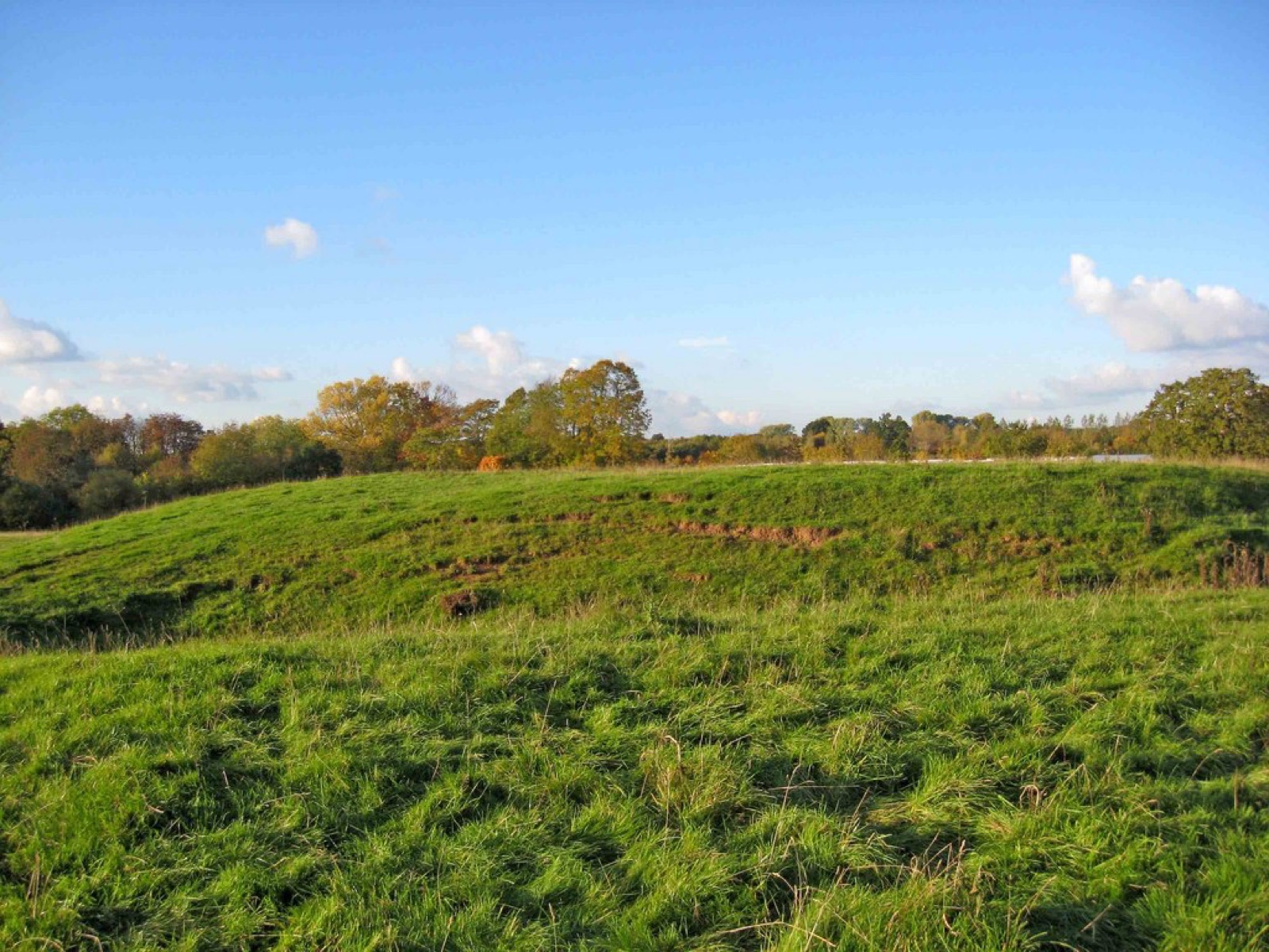 DESERTED MEDIEVAL VILLAGE · Expanded physical oddities
Medieval settlement immediately surrounding St Michael's Church
United Kingdom
deserted medieval village in Elmley Lovett, Worcestershire, England, UK
Map, evidence and context →DESERTED MEDIEVAL VILLAGE · Expanded physical odditiesPrehistoric and medieval settlements with fields and enclosures together with Bronze Age cairns and medieval alluvial streamwork
United Kingdom
human settlement in St Breward, Cornwall, England, UK
Map, evidence and context →DESERTED MEDIEVAL VILLAGE · Expanded physical odditiesMedieval settlement east of Holy Rood Church
United Kingdom
human settlement in Coombe Keynes, Purbeck, Dorset, England, UK
Map, evidence and context →DESERTED MEDIEVAL VILLAGE · Expanded physical odditiesMedieval settlement immediately west of Waterston House
United Kingdom
human settlement in Puddletown, Dorset, England, UK
Map, evidence and context →