Filter 3,416 quality-approved unusual places by type, continent, best month and weirdness score; compare rankings in cards or a sortable table. These are crawlable research records, not an indiscriminate directory: reports without enough depth remain available for exploration but are excluded from search indexing.
 UNESCO GLOBAL GEOPARK · UNESCO Global Geoparks
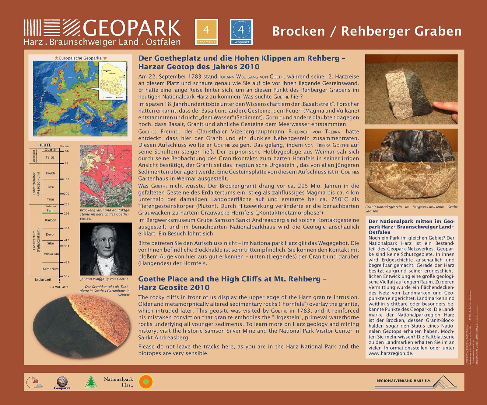
Harz - Braunschweiger Land - Ostfalen UNESCO Global Geopark
DE
Follow the Harz Border Trail along the former Iron Curtain, where patrol paths have become part of Europe’s “Green Belt.” The trail crosses an area once divided for over 40 years, where the
Map, evidence and context →UNESCO GLOBAL GEOPARK · UNESCO Global GeoparksSatun UNESCO Global Geopark
TH
Explore the newly developed Tula Cave geosite, where a limestone cave opens into a pristine sinkhole with a unique, independent ecosystem, home to newly identified endemic species. Discover
Map, evidence and context →UNESCO GLOBAL GEOPARK · UNESCO Global GeoparksNon nuoc Cao Bang UNESCO Global Geopark
VN
Visit the Magic Water Mine in Lung Sang hamlet, where a local legend tells of three sisters who protected hidden treasure by raising floodwaters to seal the cave.Discover the traditional pap
Map, evidence and context →UNESCO GLOBAL GEOPARK · UNESCO Global GeoparksCuilcagh Lakelands UNESCO Global Geopark
GB,IE
The geopark contains a particularly high concentration of archaeological features, some dating back to Neolithic times. The Burren Forest in west Cavan offers striking examples of prehistori
Map, evidence and context →UNESCO GLOBAL GEOPARK · UNESCO Global GeoparksCentral Catalonia UNESCO Global Geopark
ES
Within the territory, there are four colles castelleres, groups that create human towers at almost all the local festivities.The geopark features a unique heritage related to the art of dry-
Map, evidence and context →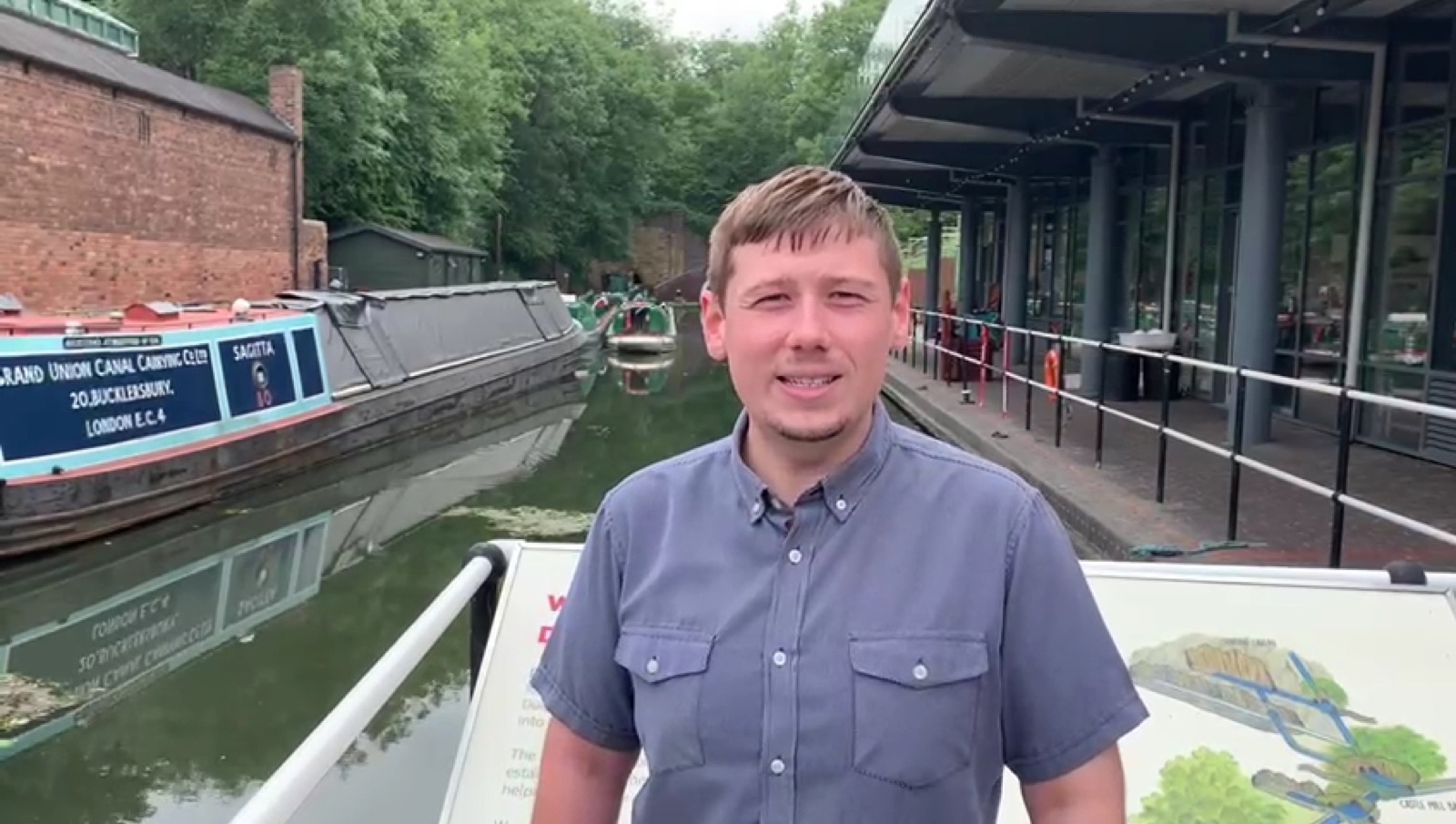 UNESCO GLOBAL GEOPARK · UNESCO Global Geoparks
Black country UNESCO Global Geopark
GB
Visit the Red House Glass Cone, one of the UK’s last surviving glassmaking cones, now a visitor centre showcasing the region’s glassmaking heritage.Explore Bumble Hole and Warrens Hall, a hi
Map, evidence and context →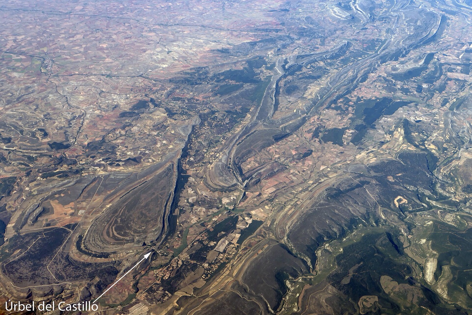 UNESCO GLOBAL GEOPARK · UNESCO Global Geoparks
Las Loras UNESCO Global Geopark
ES
Discover an important concentration of Megalithic monuments, with remnants of Celtic fortifications atop each Lora, including the fourth largest Celtic fortification in Europe at Ulaña Lora.
Map, evidence and context → UNESCO GLOBAL GEOPARK · UNESCO Global Geoparks
Maestrazgo UNESCO Global Geopark
ES
Visit the enchanting Spring of the Pitarque River, one of the geopark's remarkable natural wonders.Explore 13 historical villages designated as "National Monuments" for their Middl
Map, evidence and context →UNESCO GLOBAL GEOPARK · UNESCO Global GeoparksSierra Morena de Sevilla UNESCO Global Geopark
ES
The “Beja-Acebuches” amphibolites, interpreted as the remains of an ancient ocean floor and a suture between tectonic plates, are a rare occurrence.Located in the geographical centre of the
Map, evidence and context →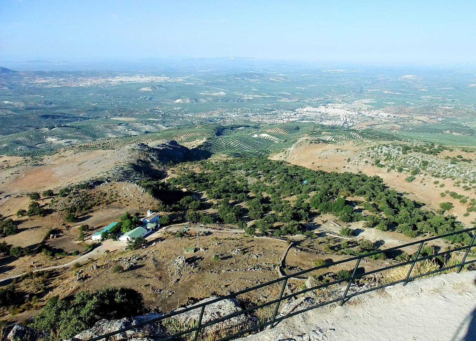 UNESCO GLOBAL GEOPARK · UNESCO Global Geoparks
Sierras Subbéticas UNESCO Global Geopark
ES
The Mycological Garden "La Trufa", the first of its kind in Europe, combines research, an interpretation centre, and a garden featuring eight recreated Andalusian ecosystems where
Map, evidence and context →UNESCO GLOBAL GEOPARK · UNESCO Global GeoparksSobrarbe-Pirineos UNESCO Global Geopark
ES
Hike the over 1,000 km of well-maintained trails that offer breathtaking views, accompanied by the ever-present sound of flowing water from melting ice.Visit the Ordesa y Monte Perdido Natio
Map, evidence and context →UNESCO GLOBAL GEOPARK · UNESCO Global GeoparksRokua UNESCO Global Geopark
FI
The Isterinkoski rapids in the Poikajoki River fall nearly thirty metres and span millions of years in the geological record.Visit Lake Oulujärvi, the fourth largest lake in Finland, coverin
Map, evidence and context →UNESCO GLOBAL GEOPARK · UNESCO Global GeoparksLauhanvuori-Hämeenkangas UNESCO Global Geopark
FI
Visit Susiluola (Wolf Cave), the oldest archaeological site in the geopark.The medieval road of Kyrönkankaantie is one of the best-preserved medieval roads in Finland.The region is home to v
Map, evidence and context →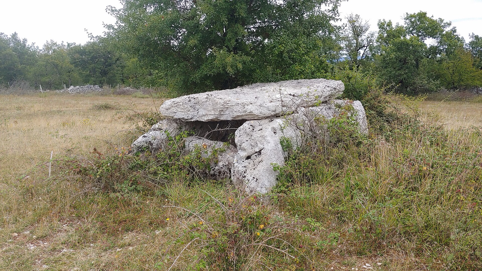 UNESCO GLOBAL GEOPARK · UNESCO Global Geoparks
Causses de Quercy UNESCO Global Geopark
FR
The Camino de Santiago, known in English as the St. James Way, crosses the geopark from Gréalou to Flaujac-Poujols.The region is renowned for its megaliths, with over 400 early human constru
Map, evidence and context →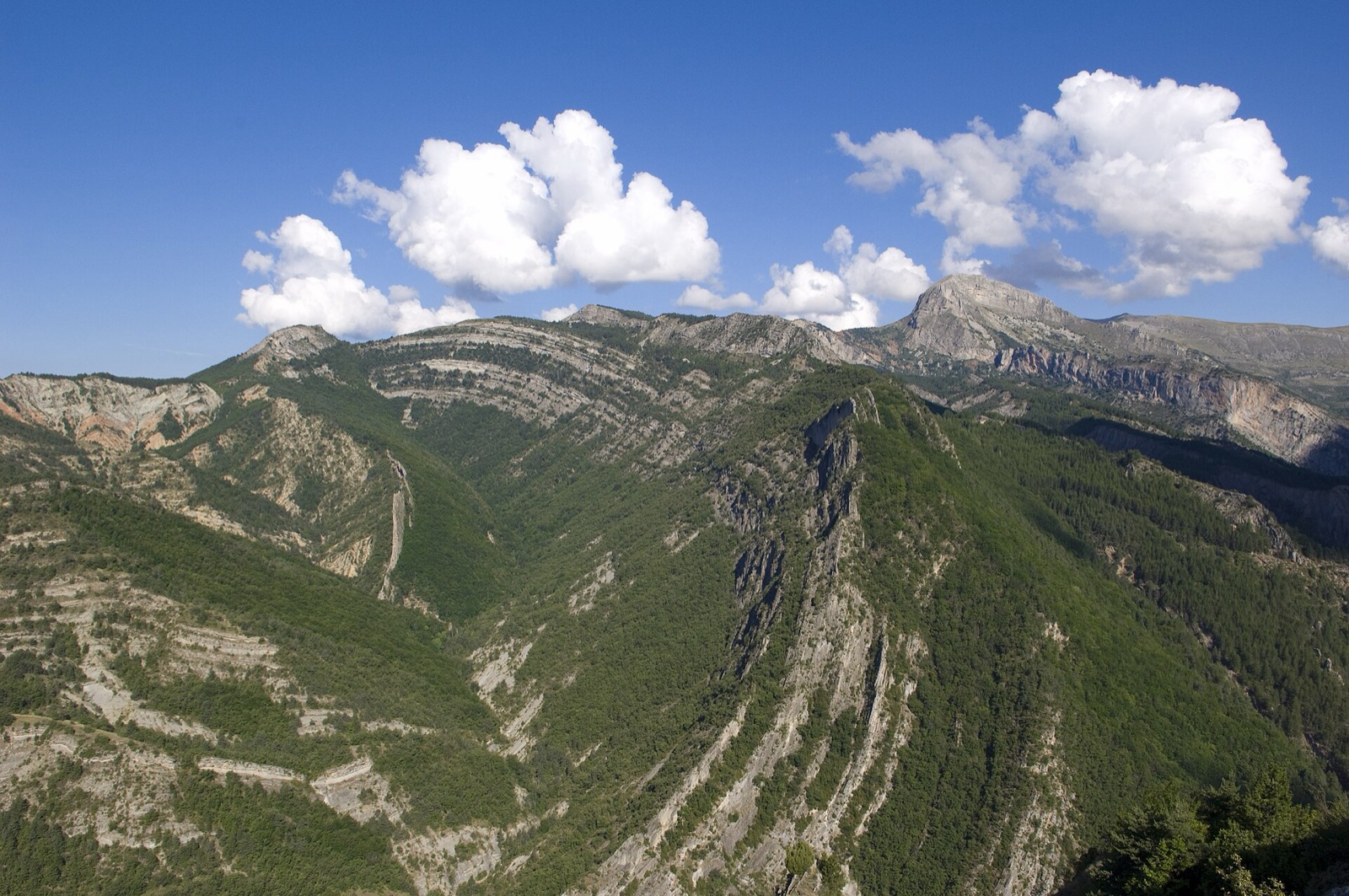 UNESCO GLOBAL GEOPARK · UNESCO Global Geoparks
Haute-Provence UNESCO Global Geopark
FR
Try butterfly watching in Digne-les-Bains.Enjoy the amazing view from the Vélodrome d’Esclangon or the Pénitent des Mées.Hike the ‘La Routo’ trail that connects the Camargue and Crau plains
Map, evidence and context →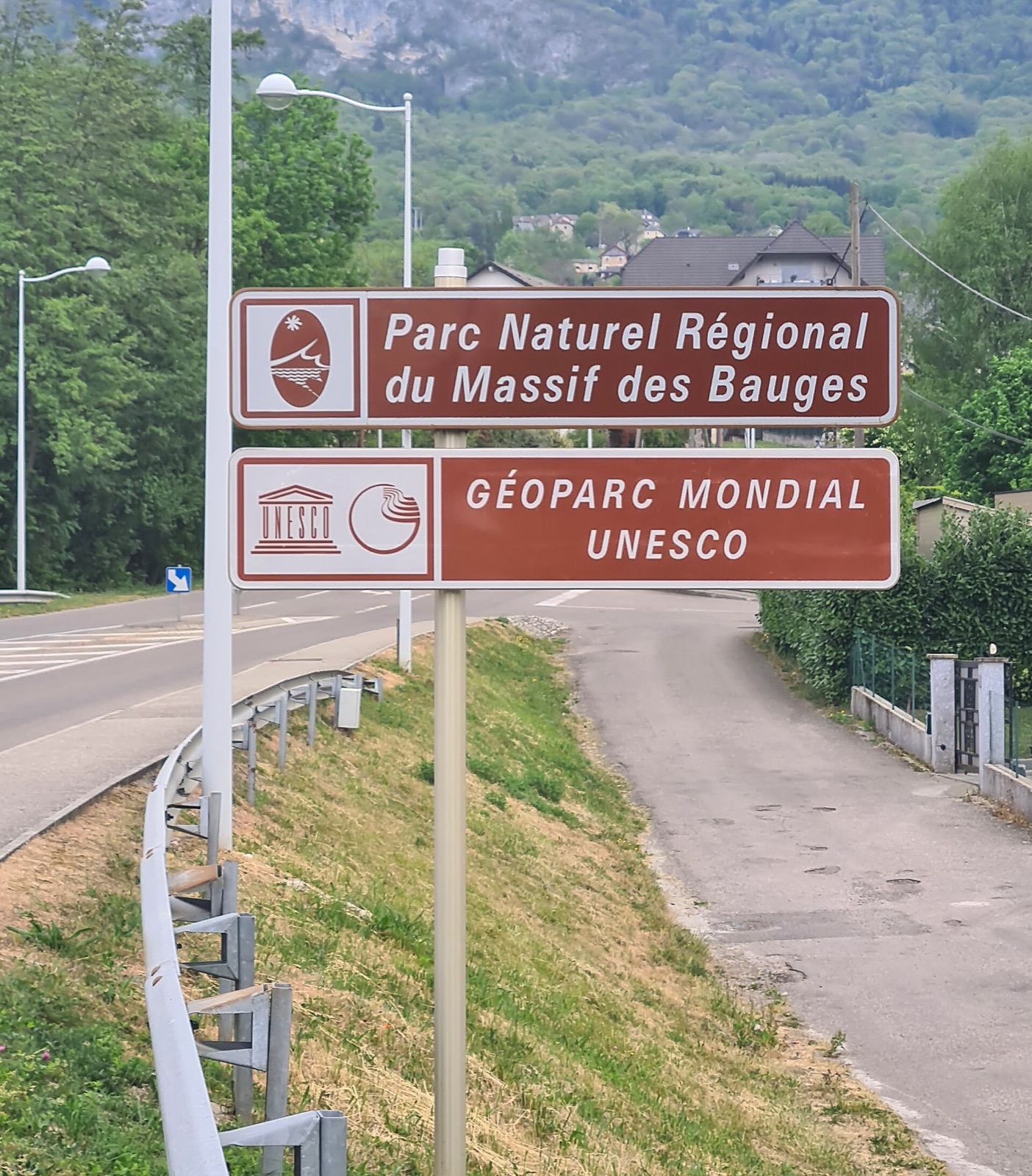 UNESCO GLOBAL GEOPARK · UNESCO Global Geoparks
Massif des Bauges UNESCO Global Geopark
FR
Local wine producers have long been aware that the quality and originality of their wines is due to the region’s underlying geological conditions, which not only define the soil type but als
Map, evidence and context → UNESCO GLOBAL GEOPARK · UNESCO Global Geoparks
Discovery UNESCO Global Geopark
CA
Visit Fort Point at the stunning natural harbour, Trinity Harbour and conjure up a history of defence against invaders.Bird Island Puffin Site is a perfect spot to observe seals, dolphins, a
Map, evidence and context →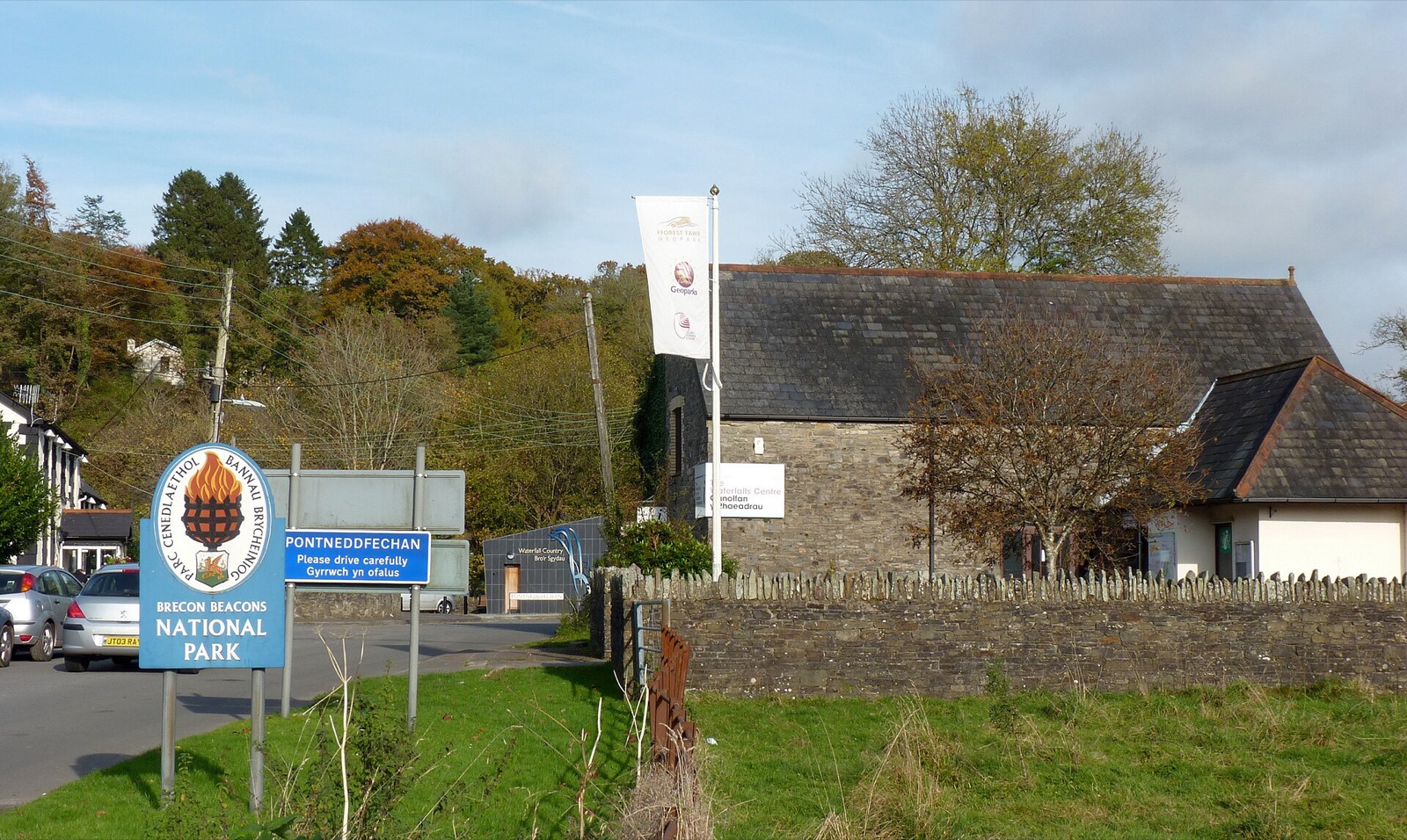 UNESCO GLOBAL GEOPARK · UNESCO Global Geoparks
Fforest Fawr UNESCO Global Geopark
GB
Herberts Quarry is a training ground for university students in geological mapping and research on alkaline pollution effects in Devonian and Carboniferous rocks.Cribarth, a striking ridge i
Map, evidence and context →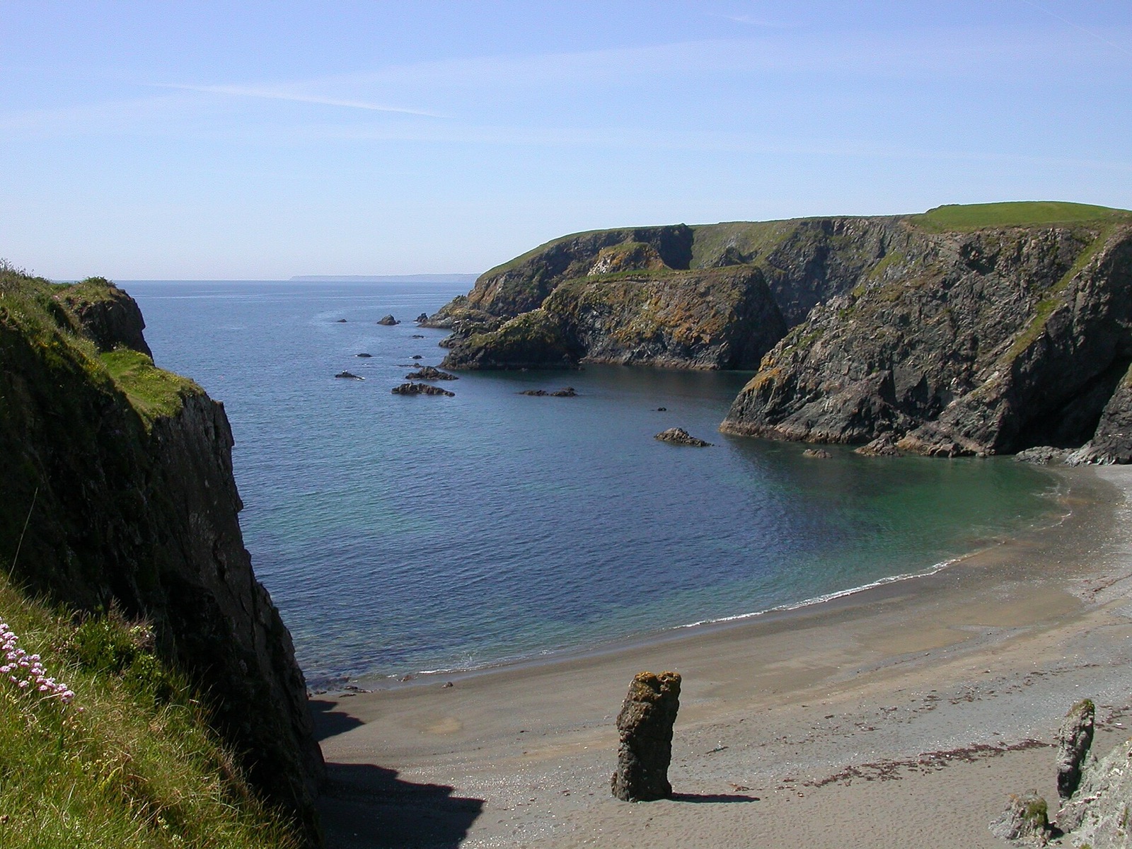 UNESCO GLOBAL GEOPARK · UNESCO Global Geoparks
Copper Coast UNESCO Global Geopark
IE
Neolithic dolmens, Iron Age forts, pre-Christian inscribed stones, ruined medieval churches, and a spectacular castle owned by the local community await discovery.The Geological Garden in Bu
Map, evidence and context →UNESCO GLOBAL GEOPARK · UNESCO Global GeoparksNorth Pennines AONB UNESCO Global Geopark
GB
A sanctuary for breeding wading birds, the geopark is the most important area in the English uplands for these iconic species.The North Pennines contains 27% of England’s blanket bog—an esse
Map, evidence and context → UNESCO GLOBAL GEOPARK · UNESCO Global Geoparks
North West Highlands UNESCO Global Geopark
GB
The steep limestone cliffs of Stronchrubie and Knockan certainly command attention.Crafted by glaciation and rainfall, underground water systems and caves such as Ben More Assynt’s unique fo
Map, evidence and context →UNESCO GLOBAL GEOPARK · UNESCO Global GeoparksShetland UNESCO Global Geopark
GB
Visit the Eshaness Lighthouse, a beacon of history and a gateway to breathtaking panoramic vistas.Walk across the tombolo to St Ninian’s Isle, home to one of the most spectacular beaches in
Map, evidence and context →UNESCO GLOBAL GEOPARK · UNESCO Global GeoparksKatla UNESCO Global Geopark
IS
Witness the northern lights between September and March.Visit the Icelandic Lava Show in the town of Vík, an exhibition where lava from the 1918 Katla eruption is re-melted and flows into th
Map, evidence and context →UNESCO GLOBAL GEOPARK · UNESCO Global GeoparksGrevena - Kozani UNESCO Global Geopark
GR
Discover the first identified ophiolites—sections of ancient seafloor uplifted above sea level—which played a key role in shaping the revolutionary scientific theory of plate tectonics.In Au
Map, evidence and context →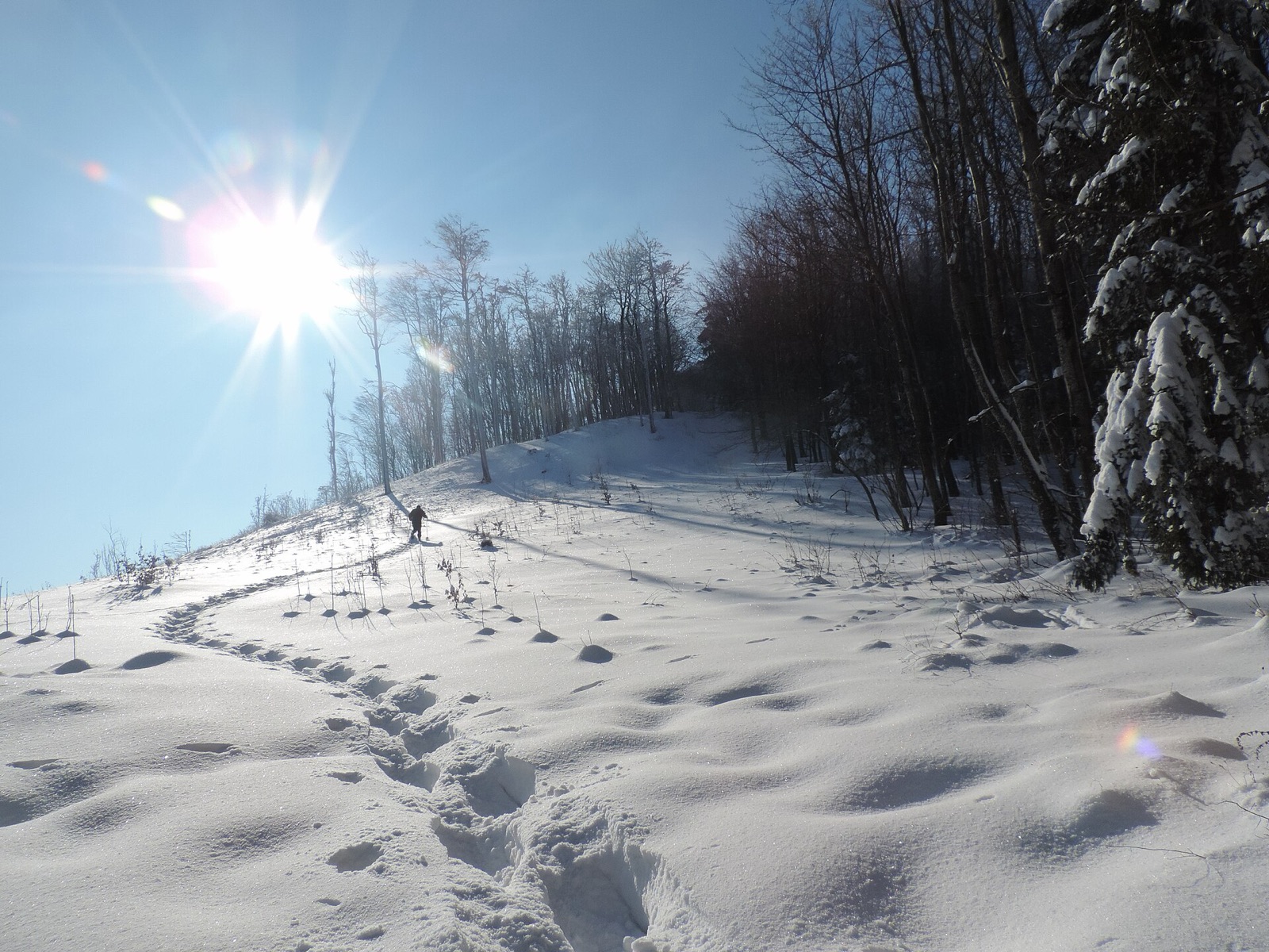 UNESCO GLOBAL GEOPARK · UNESCO Global Geoparks
Papuk UNESCO Global Geopark
HR
The House of the Pannonian Sea is a recently renovated visitor centre in Velika that features one of Papuk’s most interesting geological stories, that of the long-gone Pannonian Sea.The Geo
Map, evidence and context → UNESCO GLOBAL GEOPARK · UNESCO Global Geoparks
Bakony–Balaton UNESCO Global Geopark
HU
The Lake Cave, which extends for 13 km below the city of Tapolca, allows visitors to paddle the waters of an underground lake.The geopark boasts several Romanic and Gothic churches and defen
Map, evidence and context →UNESCO GLOBAL GEOPARK · UNESCO Global GeoparksApuan Alps UNESCO Global Geopark
IT
The Apuan Alps are characterised by their towering peaks, reaching elevations of over 2,000 m. Monte Pisanino, the highest in the range, offers breathtaking panoramic views.The area is renow
Map, evidence and context →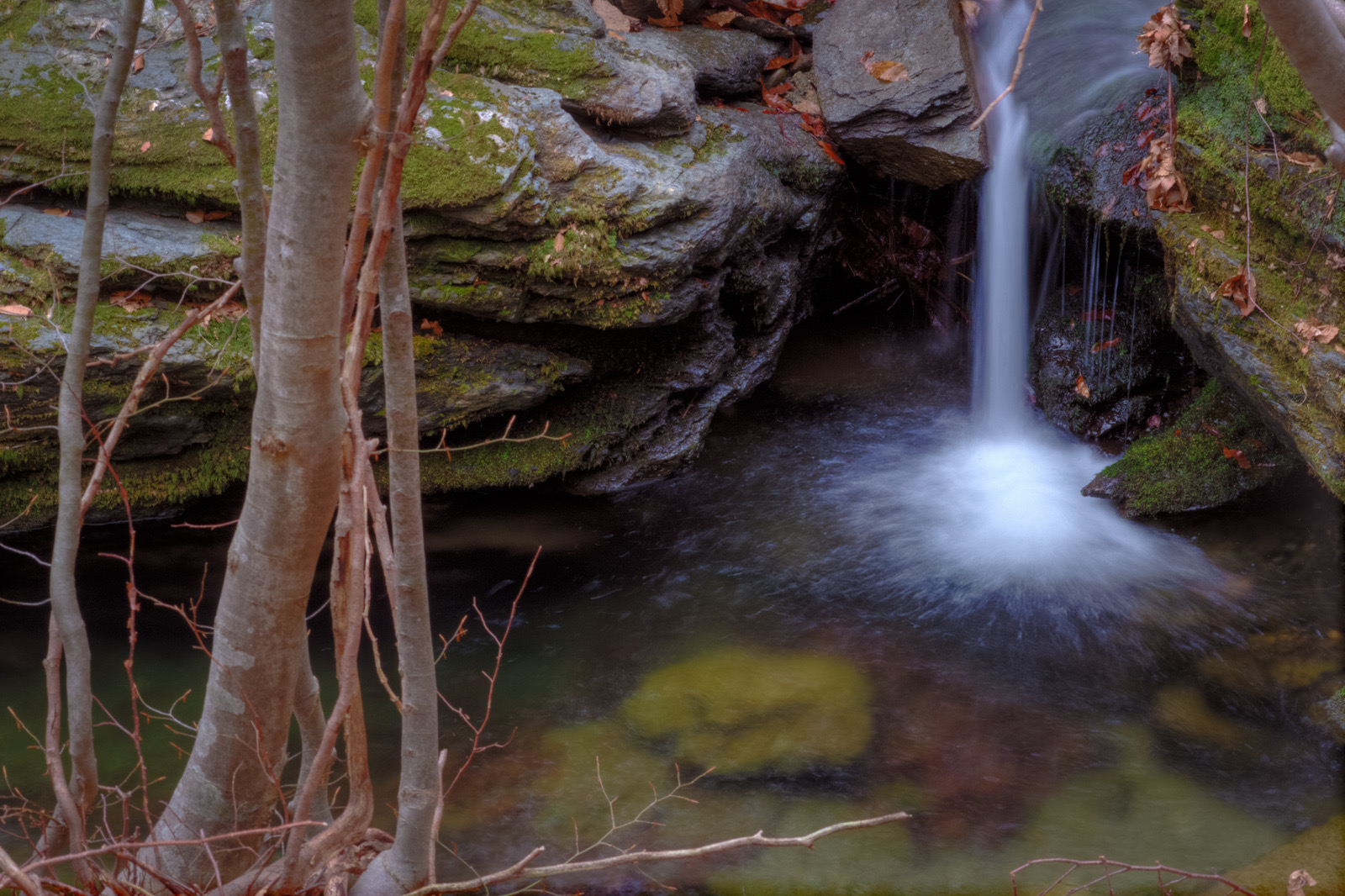 UNESCO GLOBAL GEOPARK · UNESCO Global Geoparks
Beigua UNESCO Global Geopark
IT
The town of Sassello, with its medieval architecture and narrow cobblestone streets, exudes a timeless charm.The Abbey of Tiglieto, a medieval monastery nestled in a tranquil valley, stands
Map, evidence and context →UNESCO GLOBAL GEOPARK · UNESCO Global GeoparksCilento, Vallo di Diano e Alburni UNESCO Global Geopark
IT
Don’t miss the villages of Agropoli, with its stunning beaches and medieval hilltop castle; Camerota, known for its pristine coves and natural beauty; and Teggiano, a perfectly preserved med
Map, evidence and context →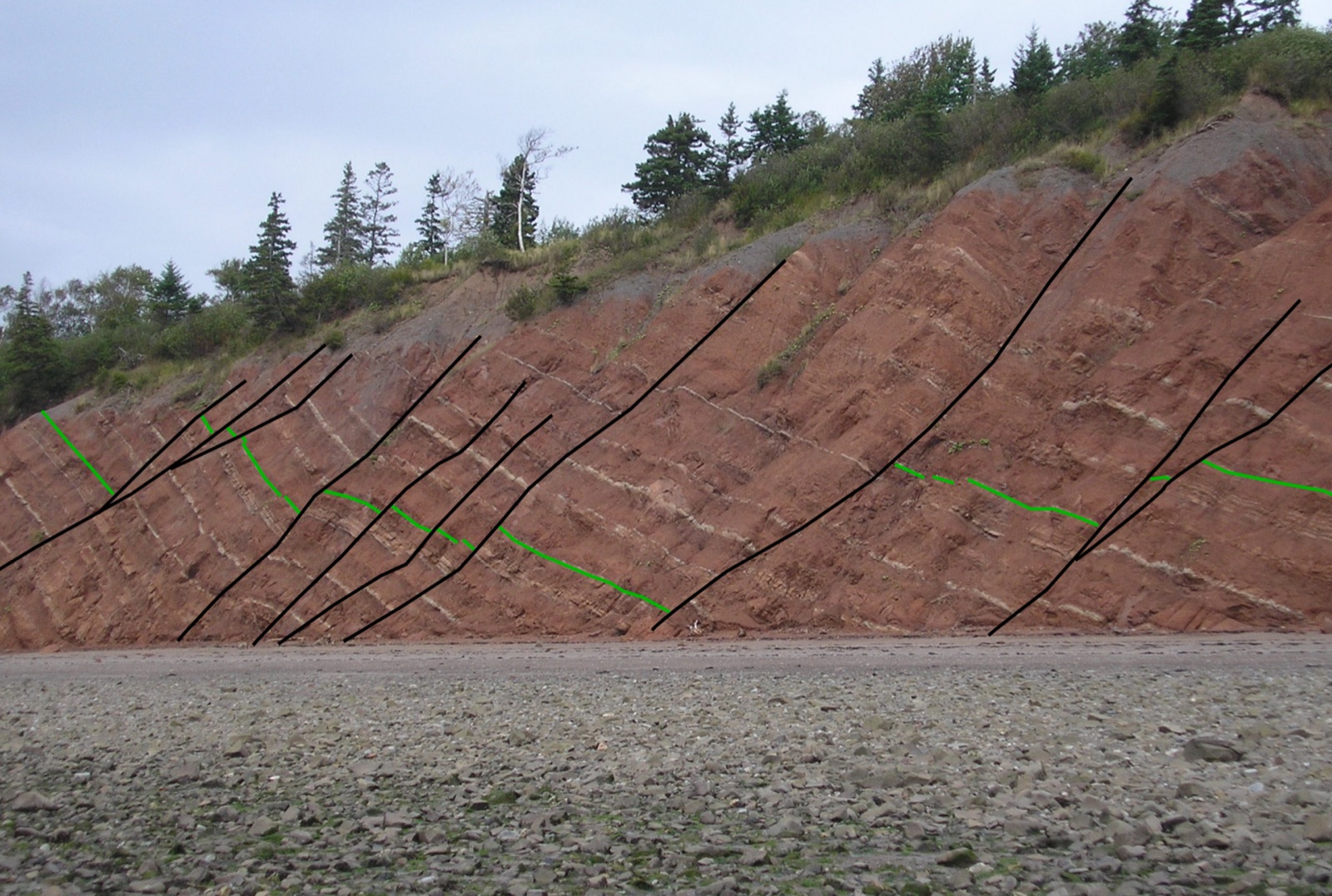 UNESCO GLOBAL GEOPARK · UNESCO Global Geoparks
Cliffs of Fundy UNESCO Global Geopark
CA
Learn about copper and semi-precious stone deposits, including agate and amethyst, found in the basalt cliffs of Cape D’Or, formed by ancient lava flows.Taste local dulse, a hand-harvested d
Map, evidence and context →UNESCO GLOBAL GEOPARK · UNESCO Global GeoparksTuscan Mining Park UNESCO Global Geopark
IT
Visit the museum in Gavorrano, housed in the “riservetta”—a former explosives warehouse—offering a vivid reconstruction of mining life and working conditions.Experience geothermal activity f
Map, evidence and context →UNESCO GLOBAL GEOPARK · UNESCO Global GeoparksAspromonte UNESCO Global Geopark
IT
Explore the Marine Terraces of Gambarie, high-altitude beaches formed 1.8 million years ago, shaped by glacial movements and tectonic uplift, reaching 1,350 metres above sea level.Connect wi
Map, evidence and context →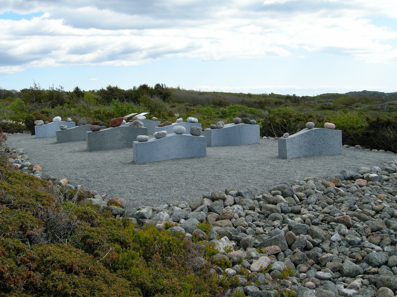 UNESCO GLOBAL GEOPARK · UNESCO Global Geoparks
Gea Norvegica UNESCO Global Geopark
NO
Discover rich Viking history including the oldest trading town in Norway, Kaupang, and the traces of one of the three large Viking ships in Norway (Klåstad skipet).The Norwegian Coastal Trai
Map, evidence and context →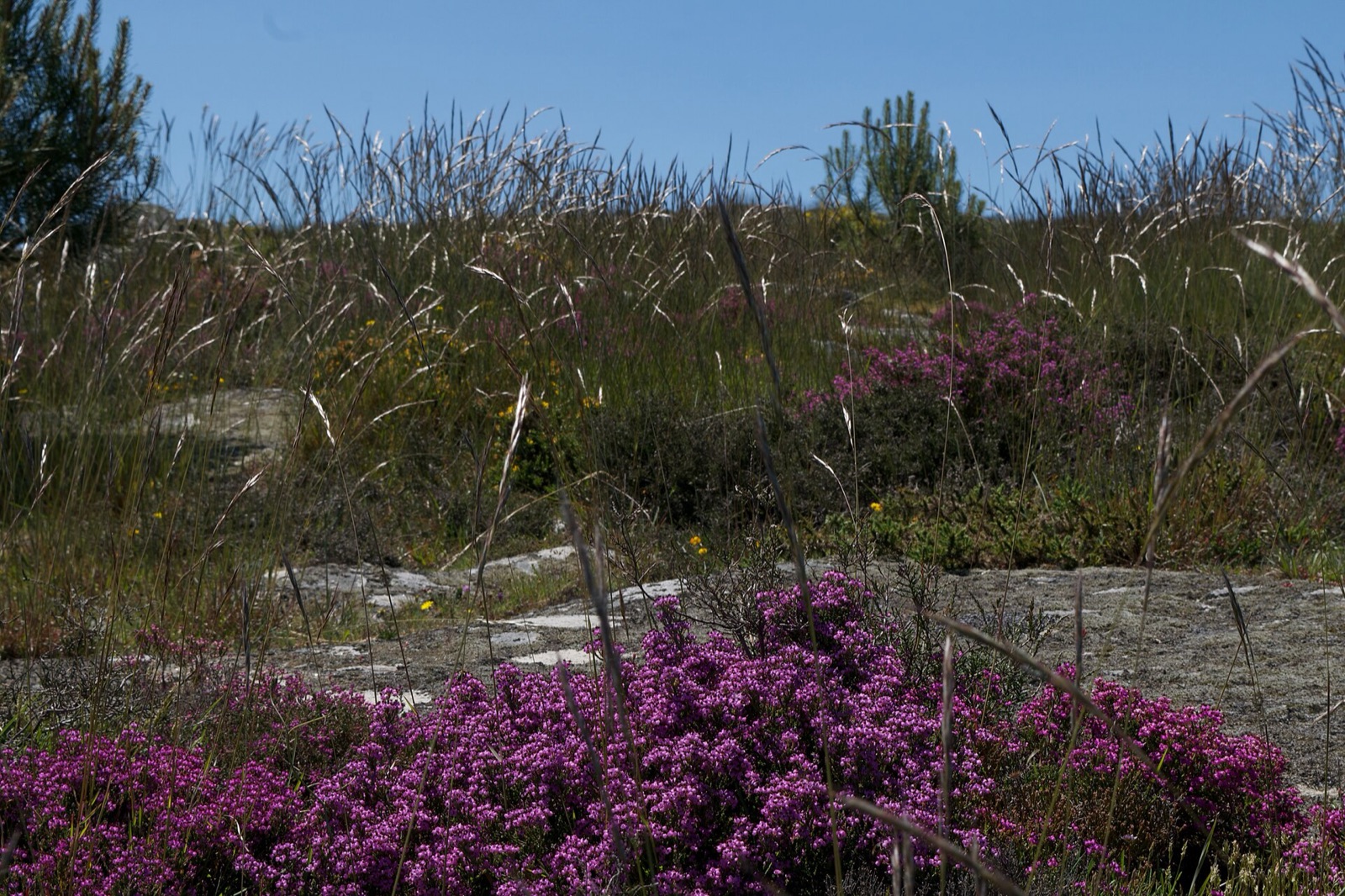 UNESCO GLOBAL GEOPARK · UNESCO Global Geoparks
Arouca UNESCO Global Geopark
PT
The Senhora da Mó panoramic geosite is one of the viewpoints of the Arouca geopark, located high above the town of Arouca. At its highest point stands a chapel believed to date back to the 1
Map, evidence and context →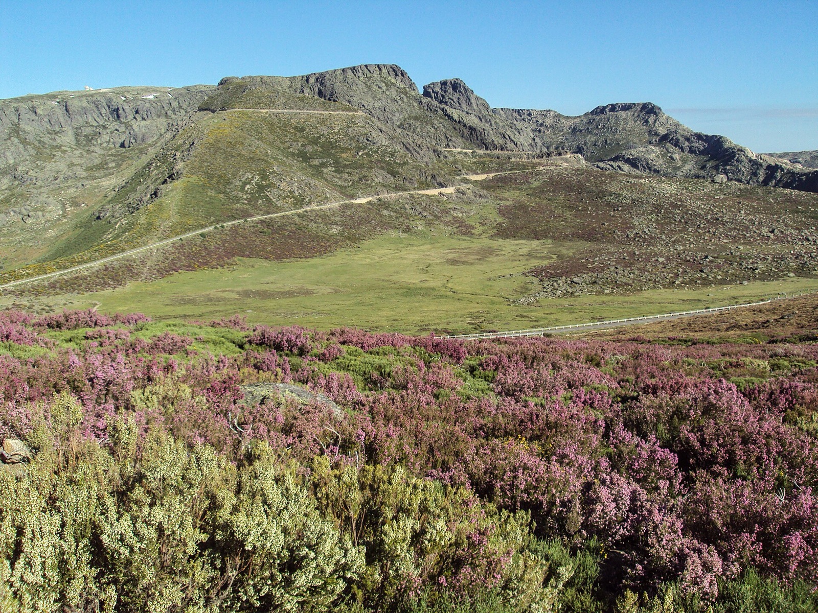 UNESCO GLOBAL GEOPARK · UNESCO Global Geoparks
Estrela UNESCO Global Geopark
PT
The Interpretative Centre of Zêzere Glacial Valley is a dedicated hub that provides insights into the rich geological history of the region, emphasising the significance of the glacial valle
Map, evidence and context →UNESCO GLOBAL GEOPARK · UNESCO Global GeoparksBuzău Land UNESCO Global Geopark
RO
Explore the salt-karst caves of Buzău Land, including some of the longest and deepest in the world, where fossils of Ice Age plants and animals have been preserved.Hike one of the geopark’s
Map, evidence and context →UNESCO GLOBAL GEOPARK · UNESCO Global GeoparksIdrija UNESCO Global Geopark
SI
Fish for trout in the crystal-clear waters of the Idrija River in the Upper Idrijca Landscape Park.Walk Anthony’s Mine Road and visit the interactive Hg Visitors Centre dedicated to mercury.
Map, evidence and context →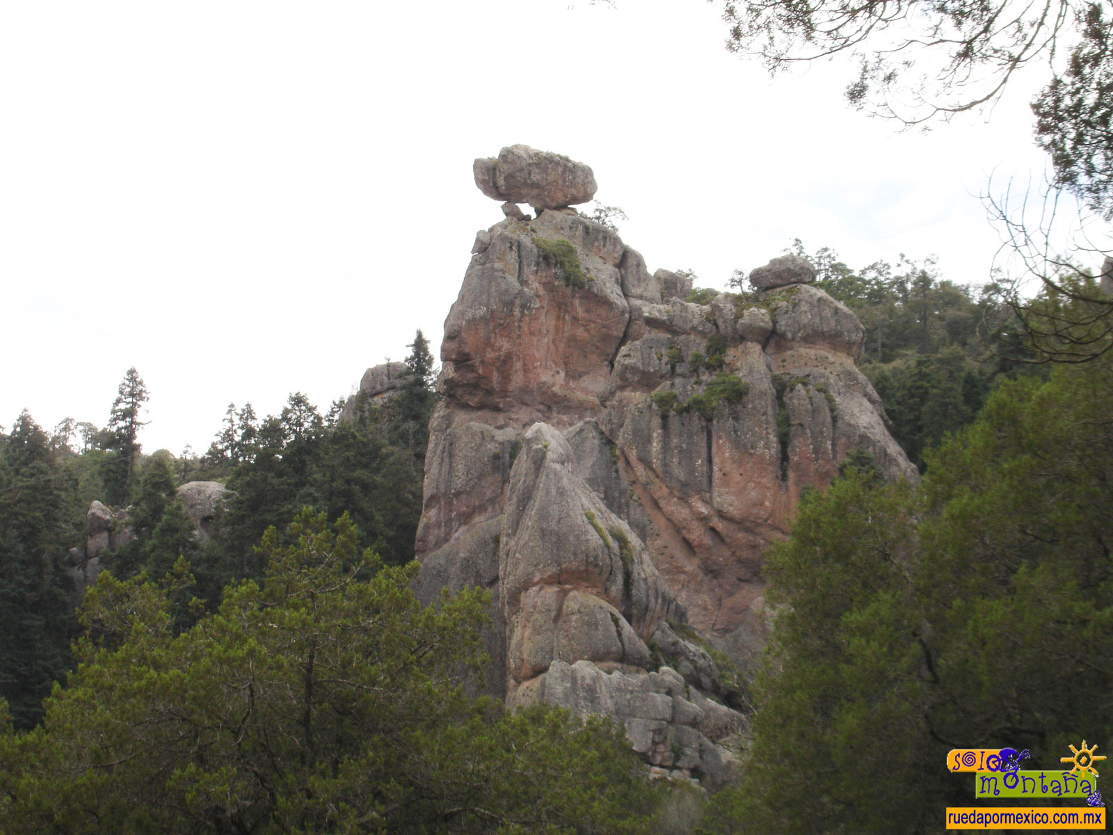 UNESCO GLOBAL GEOPARK · UNESCO Global Geoparks
Comarca Minera UNESCO Global Geopark
MX
The Pachuca’s 40m monumental clock tower in Plaza Independencia of Pachuca, built between 1904 and 1910, has machinery identical to Big Ben in London.El Chico National Park, founded in 1898,
Map, evidence and context →UNESCO GLOBAL GEOPARK · UNESCO Global GeoparksLinxia UNESCO Global Geopark
CN
See the world’s longest recorded fossil trackway of a flying vertebrate—24 paired pterosaur footprints.Visit the Bingling Cave Temple grottoes, a UNESCO World Cultural Heritage site with anc
Map, evidence and context →UNESCO GLOBAL GEOPARK · UNESCO Global GeoparksRio Coco UNESCO Global Geopark
NI
Home to the Reserva Natural Tepesomoto–La Pataste where hundreds of protected species inhabit, there are three emblematic trees: the almond tree of ‘Tere Armijo,’ the Branded Guapino tre
Map, evidence and context →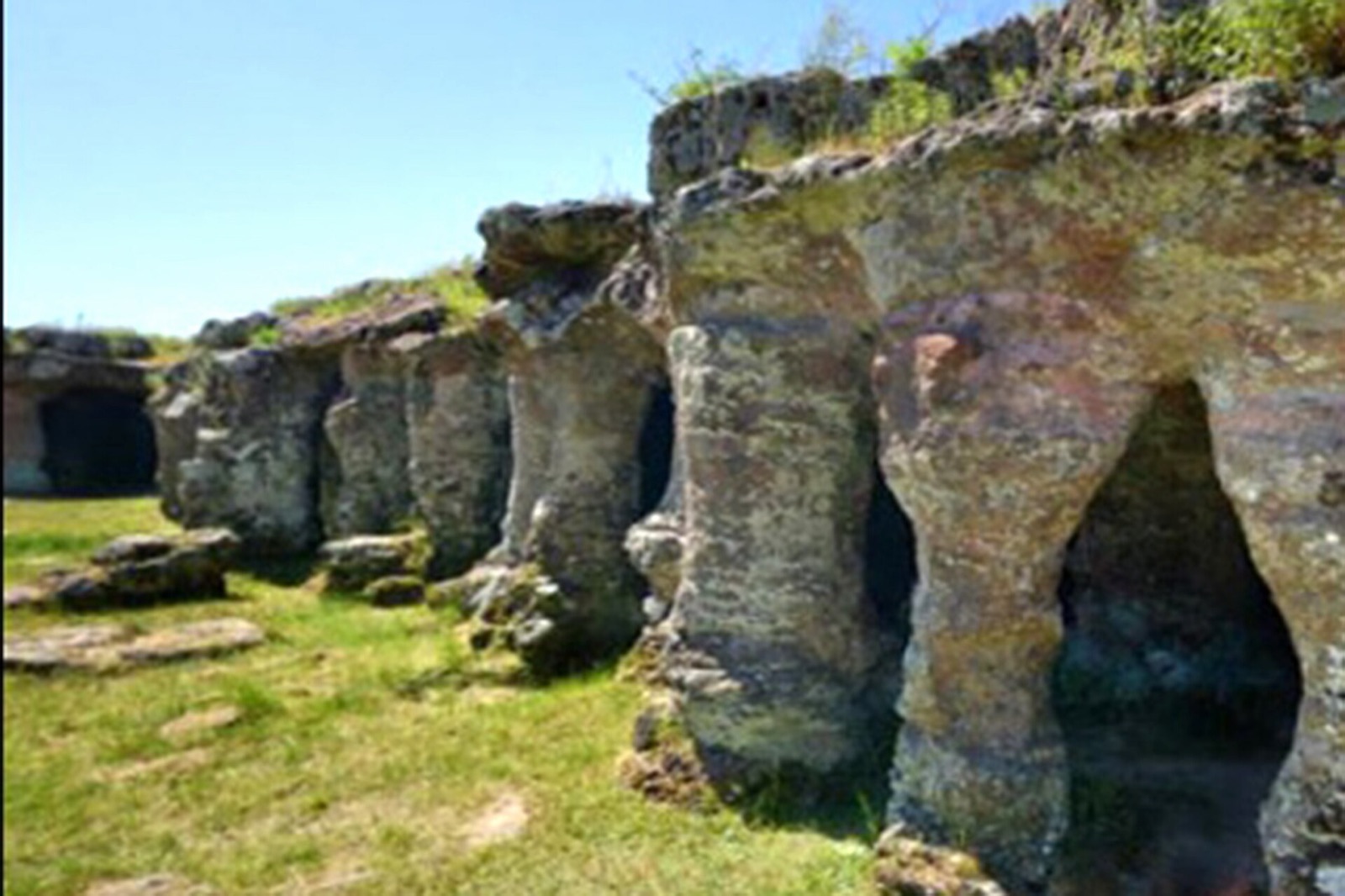 UNESCO GLOBAL GEOPARK · UNESCO Global Geoparks
Grutas del Palacio UNESCO Global Geopark
UY
Experience the Creole Stew Festival, a traditional April event held in Centenary Park that showcases ancestral cooking methods using clay and iron pots.Join over 40,000 attendees at the Andr
Map, evidence and context →UNESCO GLOBAL GEOPARK · UNESCO Global GeoparksNormandie-Maine UNESCO Global Geopark
FR
Reach the summit of western France at Mont des Avaloirs (416 metres), with panoramic views and walking trails through heathland, rocks and forest.Discover the long-standing pottery tradition
Map, evidence and context →UNESCO GLOBAL GEOPARK · UNESCO Global GeoparksBükk Region UNESCO Global Geopark
HU
Enjoy Palóc cuisine and the wines of the Bükk Foothills, where local gastronomy is shaped by the region’s volcanic geology.See the mysterious Beehive Rocks, striking formations shaped by Mio
Map, evidence and context →UNESCO GLOBAL GEOPARK · UNESCO Global GeoparksLand of Extinct Volcanoes UNESCO Global Geopark
PL
Explore the didactic path “Hazel Syncline,” a short 2.5 km trail starting at the Open-Air Mining and Metallurgy Museum in Leszczyna, showcasing remnants of former copper mining and metallurg
Map, evidence and context →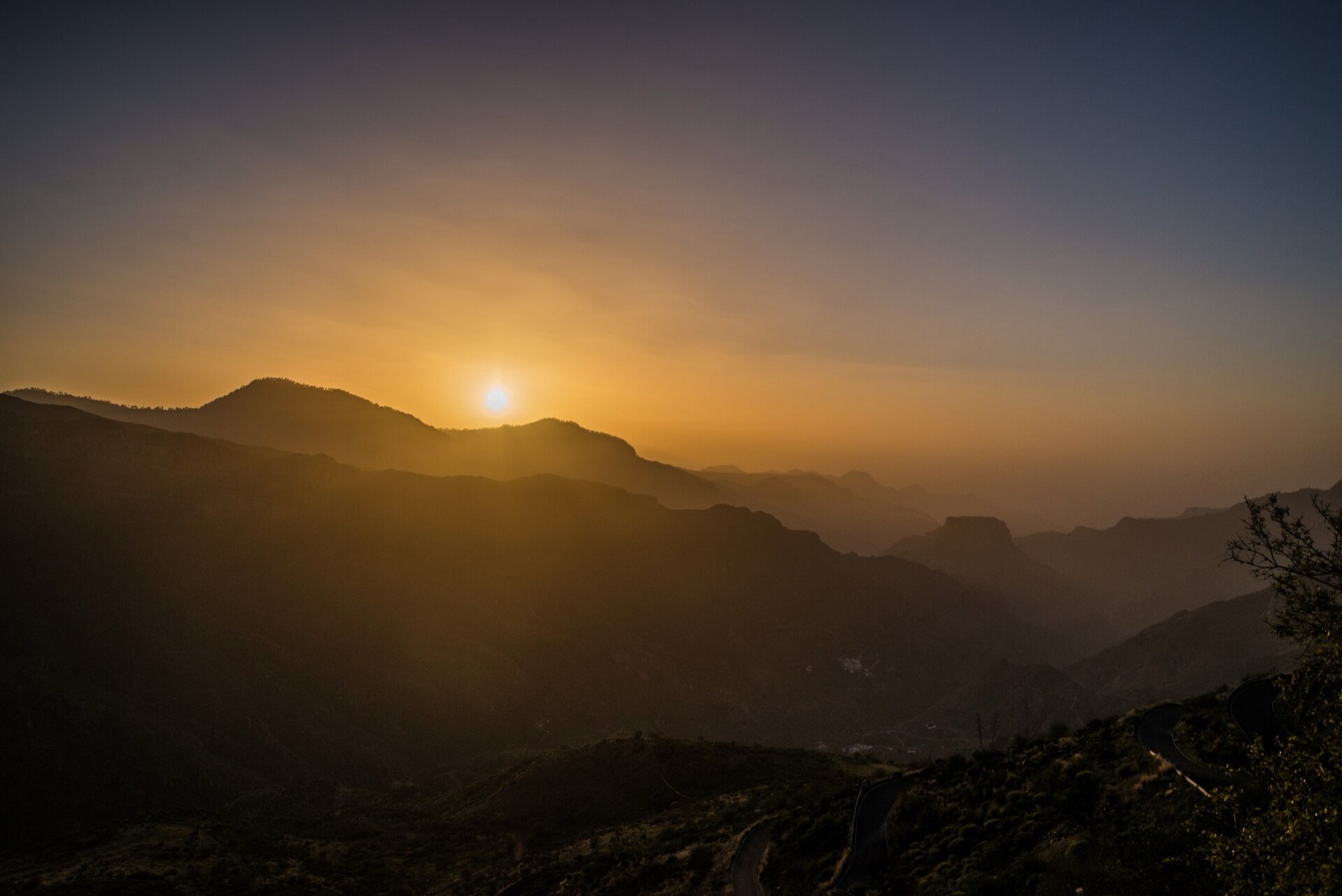 UNESCO GLOBAL GEOPARK · UNESCO Global Geoparks
Oeste UNESCO Global Geopark
PT
Explore the watermills of the Cornaga Valley, where 17 historic mills once used the power of the Galvão River to grind cereals into flour, sustaining local communities. Discover the Papôa Is
Map, evidence and context →UNESCO GLOBAL GEOPARK · UNESCO Global GeoparksSalma UNESCO Global Geopark
SA
Begin your archaeological journey at Faid Museum, where exhibits explore the history of the ancient fortress and provide insight into the region’s cultural heritage.Visit Harrat Hutaymah Cra
Map, evidence and context →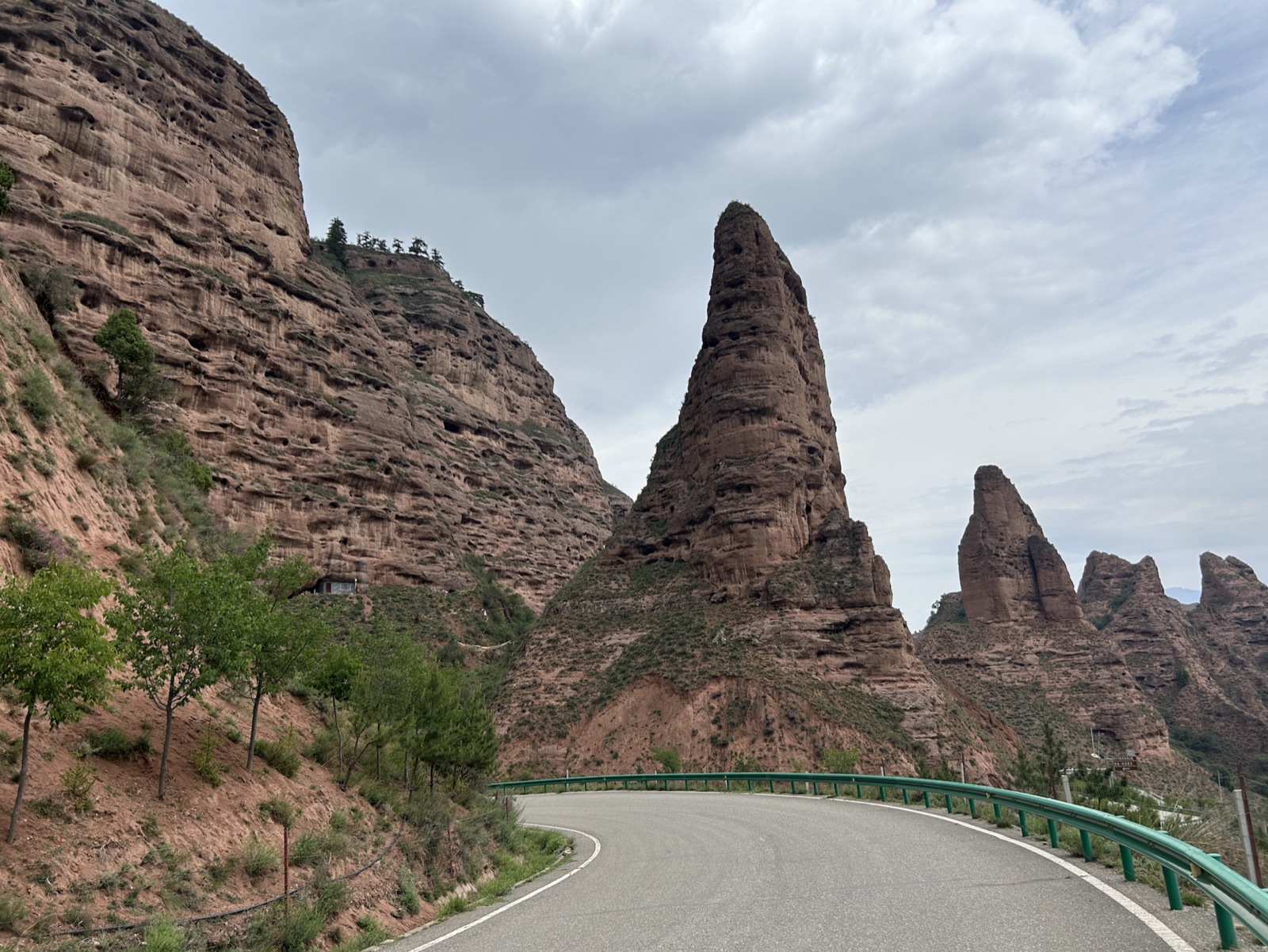 UNESCO GLOBAL GEOPARK · UNESCO Global Geoparks
Kanbula UNESCO Global Geopark
CN
Experience the Rebgong June Festival, a vibrant religious and cultural celebration held annually across 22 villages, combining ritual dance and communal participation in a tradition dating b
Map, evidence and context →UNESCO GLOBAL GEOPARK · UNESCO Global GeoparksArran UNESCO Global Geopark
GB
Visit Hutton’s Unconformity, where James Hutton’s 1787 observations showed that the Earth was far older than previously believed—revealed in the striking meeting point between vertical schis
Map, evidence and context →SHIPWRECK · South Australian ShipwrecksFanny
Near Cape Bernouilli, 30 miles east of Encounter Bay, south of Victor Harbor, South Australia.
Fanny was a schooner built in 1838 and lost on 21/06/1838. Driven ashore by SW gales.
Map, evidence and context →SHIPWRECK · South Australian ShipwrecksUnnamed
Gulf St. Vincent, Precise Location Unknown
Unnamed was a cutter built in and lost on 05/10/1839.
Map, evidence and context →SHIPWRECK · South Australian ShipwrecksMaria
Margaret Brock Reef, Lacepede Bay, South Australia
Maria was a brig built in 1823 and lost on 28/06/1840. The Maria, a 136 ton wooden brig built in 1823 en route to Hobart Town from Adelaide went ashore on Margaret Brock reef in late June 18
Map, evidence and context →SHIPWRECK · South Australian ShipwrecksElizabeth Rebecca
Yanerbie, north end of Sceale Bay (formerly Trial Bay at time of loss), near Streaky Bay
Elizabeth Rebecca was a brig built in 1828 and lost on 10/04/1845. During a westerly gale the ship lost its rudder and went ashore
Map, evidence and context →SHIPWRECK · South Australian ShipwrecksSt. Vincent
Murray Mouth
St. Vincent was a cutter built in 1840 and lost on 9/1844. Vessel broke from its moorings at Encounter Bay and later found on the beach at the Murray Mouth.
Map, evidence and context →SHIPWRECK · South Australian ShipwrecksEmma
Aldinga Bay, South Australia
Emma was a schooner built in and lost on 23/08/1840. Presumed sunk during SW gale.
Map, evidence and context →SHIPWRECK · South Australian ShipwrecksFrances
Neptune Island, easterly bay of East Island, near Port Lincoln, South Australia
Frances was a cutter built in 1839 and lost on 29/08/1840. Blown ashore during an easterly gale.
Map, evidence and context →SHIPWRECK · South Australian ShipwrecksVulcan
Flinders Island, South Australia.
Vulcan was a schooner built in and lost on 22/04/1845. Driven ashore.
Map, evidence and context →SHIPWRECK · South Australian ShipwrecksGovernor Gawler
Reevesby Island, Joseph Banks Group, Spencer Gulf, South Australia.
Governor Gawler was a schooner built in 1840 and lost on 01/08/1847. The Governor Gawler was making for Port Lincoln when driven northward by the storm, onto a reef near Reevesby Island, in
Map, evidence and context →SHIPWRECK · South Australian ShipwrecksWilliam
Hog Bay, near Penneshaw, Kangaroo Island, South Australia
William was a schooner built in 08/01/1844 and lost on 23/08/1847. On Monday 23 August 1847, the William was going into Hog Bay, Kangaroo Island to land a passenger. It was dark and the wind
Map, evidence and context →SHIPWRECK · South Australian ShipwrecksArachne
Yanerbie, at north end of Sceale Bay. Called Trial Bay at the time of loss.
Arachne was a barque built in 1809 and lost on 6/1848. The barque Arachne, under Captain William Young, left Hobart for the South Seas with stores on 13 January 1848. In late May or early Ju
Map, evidence and context →SHIPWRECK · South Australian ShipwrecksAlbatross
Near the mouth of the Onkaparinga River, Onkaparinga, South Australia.
Albatross was a cutter built in 1842 and lost on 11/08/1848. Driven ashore in squall.
Map, evidence and context →SHIPWRECK · South Australian ShipwrecksTigress
Seaford, 2 km S of Onkaparinga River mouth, south of Adelaide
Tigress was a snow built in 1840 and lost on 26/09/1848. On 6 May 1848 the vessel sailed from Leith, Scotland, bound for Port Adelaide and Port Phillip with a general cargo and two passenger
Map, evidence and context →SHIPWRECK · South Australian ShipwrecksYoung Hebe
20 miles east of Cape Spencer
Young Hebe was a schooner built in 1840 and lost on 3/1849. Unknown. Thought to have struck rocks. Wreck found partially above water so cause of deaths unknown.
Map, evidence and context →SHIPWRECK · South Australian ShipwrecksSultana
Troubridge Shoal
Sultana was a ship built in 1837 and lost on 28/09/1849. Blown ashore during heavy weather.
Map, evidence and context →SHIPWRECK · South Australian ShipwrecksJane Flaxman
Near Semaphore, South Australia
Jane Flaxman was a cutter built in 1839 and lost on 02/05/1850. On Thursday 2 May 1850, the vessel made sail past the Outer Harbor lightship and at sundown was observed far to the west. At a
Map, evidence and context →SHIPWRECK · South Australian ShipwrecksGrecian
Outer Harbor, Gulf St Vincent. 7 km NW of Port Adelaide. 1/4 mile SSE from the end of the southern breakwater
Grecian was a barque built in 1841 and lost on 13/10/1850. Grecian sailed from The Downs, England, on 15 June 1850, and left Lands End on 18 June. The voyage was free from bad weather throug
Map, evidence and context →SHIPWRECK · South Australian ShipwrecksGeorge Home
150 miles SSE of Kangaroo Island
George Home was a barque built in 1809 and lost on 26/04/1851. Sprang a leak and sank.
Map, evidence and context →SHIPWRECK · South Australian ShipwrecksGoulburn
Hog Bay, Kangaroo Island
Goulburn was a built in 27/06/1856 and lost on 29/06/1856. The barge Goulburn was being towed from Port Adelaide to Port Elliot by the steamship Melbourne. About half an hour after sighting
Map, evidence and context →SHIPWRECK · South Australian ShipwrecksJane and Emma
Rosetta Head, Encounter Bay, South Australia
Jane and Emma was a cutter built in 1835 and lost on 5/1852. Unknown: most likely due to adverse weather.
Map, evidence and context →SHIPWRECK · South Australian ShipwrecksEmu
Port Elliot. Remains possibly located east of the mouth of Middleton Creek under a section of sand dune. keel and frames? (visible in 1912)
Emu was a schooner built in 1847 and lost on 01/05/1853. Mysteriously broken on Frenchmans Rock during heavy SSW winds.
Map, evidence and context →SHIPWRECK · South Australian ShipwrecksOsmanli
D'Estrees Bay, 35 km SW of American River, Kangaroo Island, South Australia
Osmanli was a built in 22/10/1846 and lost on 25/11/1853. Osmanli left Melbourne before daylight on the 23 November 1853 bound for Port Adelaide. The vessel was carrying passengers, coal, p
Map, evidence and context →SHIPWRECK · South Australian ShipwrecksMidge
Cape Willoughby, Kangaroo Island, South Australia
Midge was a cutter built in 1840 and lost on 29/06/1853. The cutter Midge left Port Adelaide on 27 June 1853 bound for Encounter Bay and Yankalilla. The vessel arrived at Encounter Bay on th
Map, evidence and context →SHIPWRECK · South Australian ShipwrecksO.G.
Pooles Flat, 1.5 miles north of Second Valley, Rapid Bay.
O.G. was a cutter built in 1840 and lost on 23/05/1854. Dragged anchor and struck rocks during heavy gale.
Map, evidence and context →SHIPWRECK · South Australian ShipwrecksTrial
North Sand, near the 4th beacon inside
Trial was a cutter built in and lost on 30/04/1854. On Sunday morning 30 April 1854, the cutter Trial (SARHS 45) was observed from the lightship to be labouring in heavy seas. The vessel p
Map, evidence and context →SHIPWRECK · South Australian ShipwrecksIndustry
Yankalilla Bay
Industry was a ketch built in 5/1852 and lost on 18/08/1854. Driven ashore during a storm
Map, evidence and context →SHIPWRECK · South Australian ShipwrecksSans Pareille
Cape Jervis
Sans Pareille was a brigantine built in 1841 and lost on 30/01/1855. During heavy weather and thick fog ran upon reef.
Map, evidence and context →SHIPWRECK · South Australian ShipwrecksMaid of the Mill
Mouth of the Onkaparinga River, Adelaide
Maid of the Mill was a ketch built in 1849 and lost on 27/02/1856. Maid of the Mill left Port Adelaide for Willunga on 27 February 1856 with a cargo of palings, flour and sundries. A gale fo
Map, evidence and context →SHIPWRECK · South Australian ShipwrecksNashwauk
Moana, near mouth of Pedlars Creek, South Australia.
Nashwauk was a ship built in 1853 and lost on 12/05/1855. On 13 February 1855 the vessel sailed from Liverpool for Port Adelaide with a general cargo and 300 immigrants, mainly Irish. On 13
Map, evidence and context →SHIPWRECK · South Australian ShipwrecksCommodore
Commodore Point, Port Elliot, South Australia.
Commodore was a schooner built in 1818 and lost on 29/02/1856. When the schooner arrived at Port Elliott on 28 February 1856, Captain Smith ignored the services of a pilot and instead chose
Map, evidence and context →SHIPWRECK · South Australian ShipwrecksGrenada
Port Willunga, north of jetty
Grenada was a schooner built in 1850 and lost on 20/06/1856. Parted from chain and driven ashore in SW squall, refloated and ashore.
Map, evidence and context →SHIPWRECK · South Australian ShipwrecksJosephine Loizeau
Port Elliot
Josephine Loizeau was a schooner built in 1841 and lost on 10/07/1856. Strong southerly winds, crew chained boat to wrong mooring, broke & vessel went ashore.
Map, evidence and context →