Maritime · Evidence-led place record
Harriet
Near Sheoak Flat, Orontes Bank. 7 miles NE of Point Vincent
Harriet was a built in and lost on 11/05/1887. Presumed swamped while running before a gale and sank.
The oddity, explained
Why is Harriet unusual?
Harriet appears here because the approved source classifies it as maritime. The source describes it as Harriet was a built in and lost on 11/05/1887. Presumed swamped while running before a gale and sank. MapTheOdd treats that specific classification-and-description combination as the oddity; the score is a comparative discovery signal, not proof of mystery or the supernatural.
SHIPWRECK
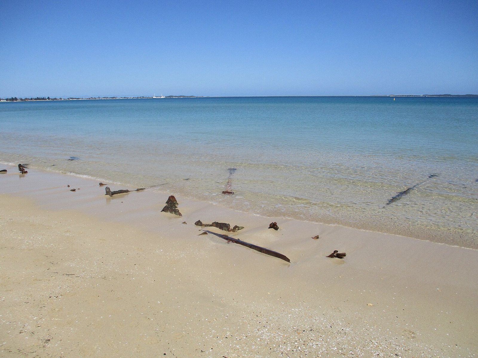
Amur
Australiaship wrecked on the coast of Western AustraliaExplore this place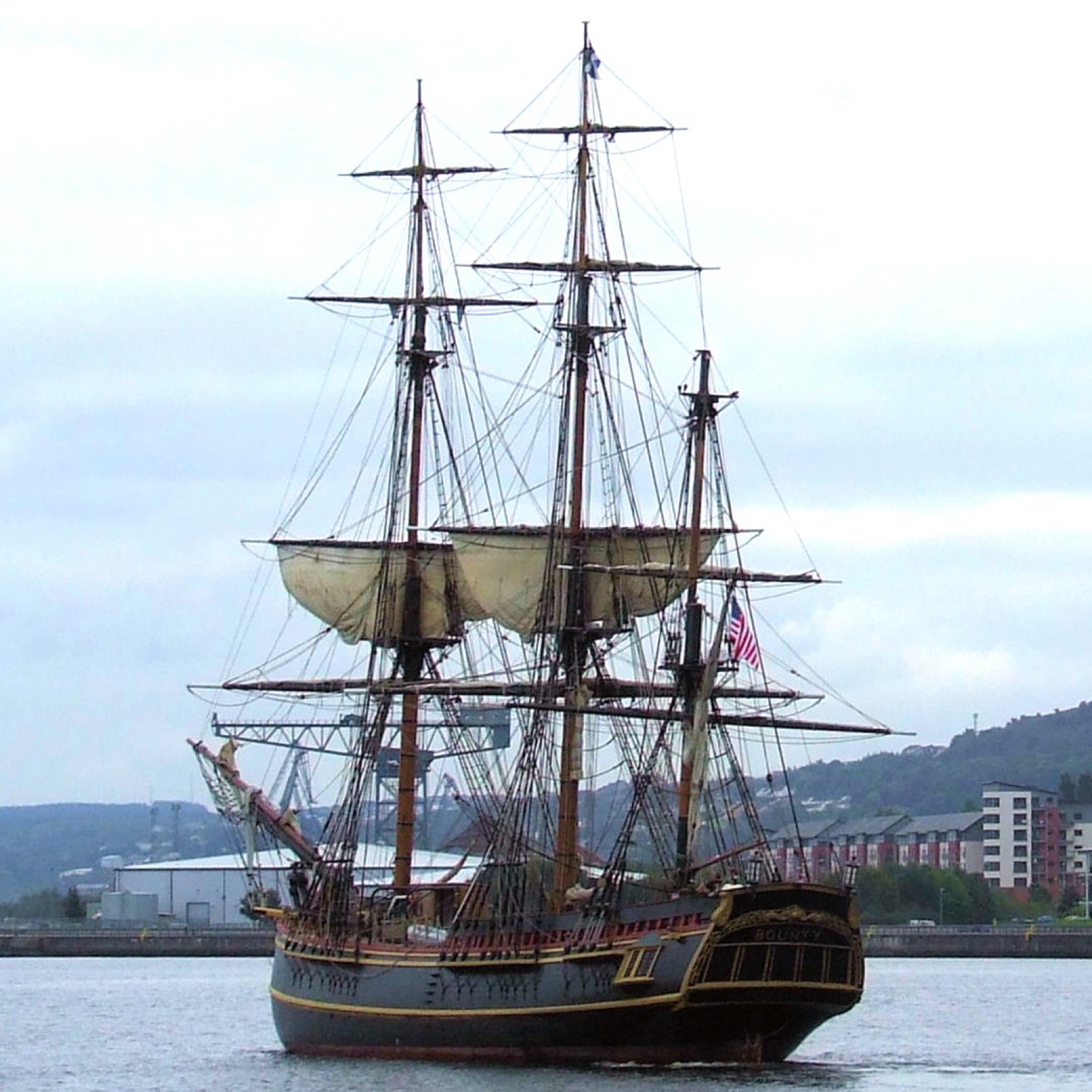
SHIPWRECK
Bounty
Location recorded in Wikidata1960 reconstruction of the original 1787 Royal Navy sailing shipExplore this place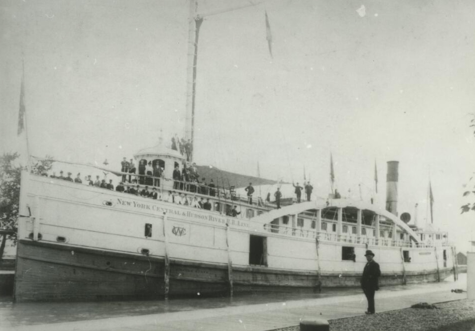
SHIPWRECK
Bullhead Point Historical and Archeological District
United Statesarchaeological site and shipwreck in Sturgeon Bay, WisconsinExplore this place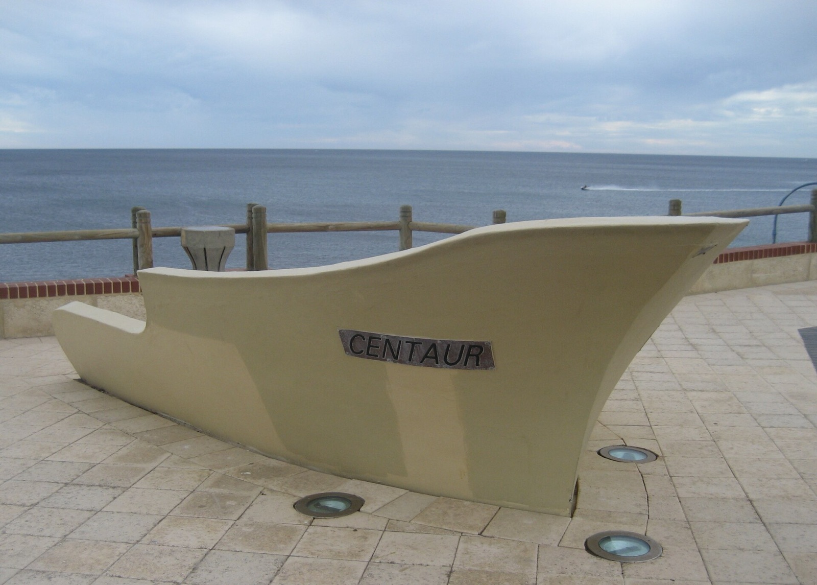
SHIPWRECK
Centaur
Australiaship wrecked off the coast of Western AustraliaExplore this placeEvidence and further exploration
The coordinate, category and description remain tied to the cited source. Comparative oddness helps discovery; it does not add facts that the source does not provide.
Inspect the original evidence source ↗