Evidence-backed unusual places in United Kingdom, grouped with maps, original sources and useful geographic context. These are crawlable research records, not an indiscriminate directory: reports without enough depth remain available for exploration but are excluded from search indexing.
Medieval settlement 470m east of Hartyland
United Kingdom
human settlement in Dartmoor Forest, West Devon, England, UK
Map, evidence and context →DESERTED MEDIEVAL VILLAGE · Expanded physical odditiesMedieval settlement remains immediately south east of Fresden Farm
United Kingdom
human settlement in Highworth, Swindon, Wiltshire, England, UK
Map, evidence and context →DESERTED MEDIEVAL VILLAGE · Expanded physical odditiesMedieval settlement remains immediately north east and 210m south east of White House Farm
United Kingdom
human settlement in Melton, Leicestershire, England,UK
Map, evidence and context →DESERTED MEDIEVAL VILLAGE · Expanded physical odditiesMedieval settlement remains 230m north west and 140m west of the junction of Main Street and Hothorpe Road
United Kingdom
human settlement in Theddingworth, Harborough, Leicestershire, England, UK
Map, evidence and context →DESERTED MEDIEVAL VILLAGE · Expanded physical odditiesMedieval settlement at Coughton Court
United Kingdom
human settlement in Coughton, Stratford-on-Avon, Warwickshire, England, UK
Map, evidence and context →DESERTED MEDIEVAL VILLAGE · Expanded physical odditiesMedieval hamlet of Littlecote
United Kingdom
human settlement in Stewkley, Buckinghamshire, England, UK
Map, evidence and context →DESERTED MEDIEVAL VILLAGE · Expanded physical odditiesMedieval settlement at Thornton-le-Street
United Kingdom
human settlement in Thornton-le-Street, Hambleton, North Yorkshire, England, UK
Map, evidence and context →DESERTED MEDIEVAL VILLAGE · Expanded physical odditiesMedieval settlement at Nobold, 440m east of Lowe Farm
United Kingdom
human settlement in Clipston, West Northamptonshire, England, UK
Map, evidence and context →DESERTED MEDIEVAL VILLAGE · Expanded physical odditiesMedieval settlement at Haselbech
United Kingdom
human settlement in Haselbech, West Northamptonshire, England, UK
Map, evidence and context →DESERTED MEDIEVAL VILLAGE · Expanded physical odditiesMedieval settlement remains at East Farndon
United Kingdom
settlement remains in East Farndon, Northamptonshire, England, UK
Map, evidence and context →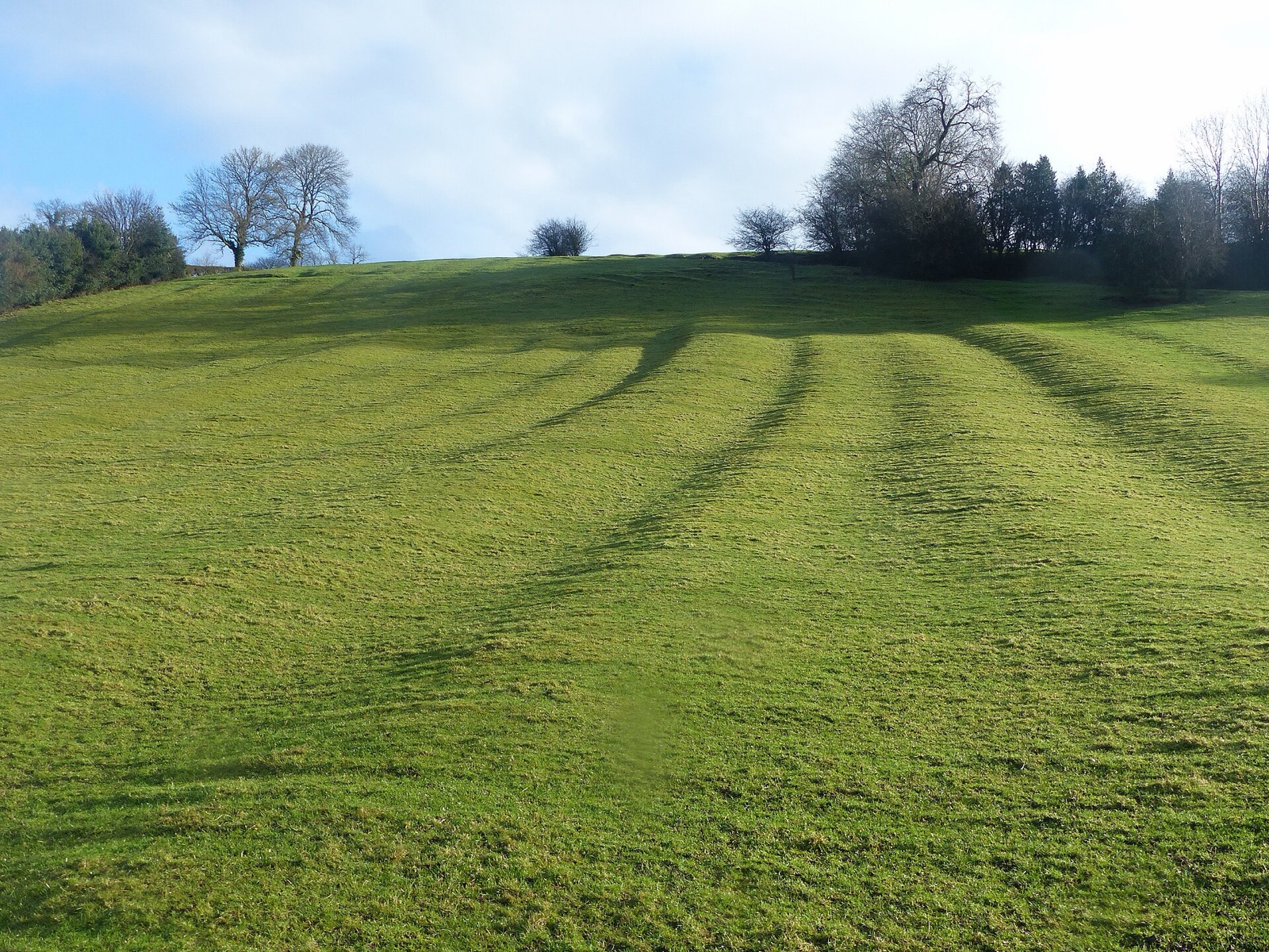 DESERTED MEDIEVAL VILLAGE · Expanded physical oddities
Medieval settlement including part of open field system, 200m south of Bank Farm
United Kingdom
scheduled monument in Mapleton, Derbyshire, England, UK
Map, evidence and context →DESERTED MEDIEVAL VILLAGE · Expanded physical odditiesMedieval settlement in Eastdean Park, 670m north east of Counter's Gate
United Kingdom
human settlement in East Dean, Chichester, West Sussex, England, UK
Map, evidence and context →DESERTED MEDIEVAL VILLAGE · Expanded physical odditiesMedieval settlement of Dalton upon Tees and associated field system
United Kingdom
human settlement in Dalton-on-Tees, Richmondshire, North Yorkshire, England, UK
Map, evidence and context →DESERTED MEDIEVAL VILLAGE · Expanded physical odditiesMedieval settlement and associated field system at Clattinger Farm
United Kingdom
human settlement in Oaksey, Wiltshire, England, UK
Map, evidence and context →DESERTED MEDIEVAL VILLAGE · Expanded physical odditiesMedieval settlement 750m north west of Knowlton
United Kingdom
human settlement in Woodlands, Dorset, England, UK
Map, evidence and context →DESERTED MEDIEVAL VILLAGE · Expanded physical odditiesMedieval settlement at Brockington, immediately north east of Brockington Farm
United Kingdom
human settlement in Gussage All Saints, Dorset, England, UK
Map, evidence and context →DESERTED MEDIEVAL VILLAGE · Expanded physical odditiesMedieval settlement, watermill and cultivation remains, East Torrington
United Kingdom
deserted medieval village in Lincolnshire, England, UK
Map, evidence and context →DESERTED MEDIEVAL VILLAGE · Expanded physical odditiesMedieval settlement at Ullington
United Kingdom
human settlement in Pebworth, Wychavon, Worcestershire, England, UK
Map, evidence and context →DESERTED MEDIEVAL VILLAGE · Expanded physical odditiesMedieval settlement of Little Broughton, associated field system and site of medieval chapel
United Kingdom
human settlement in Great and Little Broughton, Hambleton, North Yorkshire, England, UK
Map, evidence and context →DESERTED MEDIEVAL VILLAGE · Expanded physical odditiesMedieval settlement 300m east of Knight House Farm
United Kingdom
human settlement in Cudworth, South Somerset, England, UK
Map, evidence and context →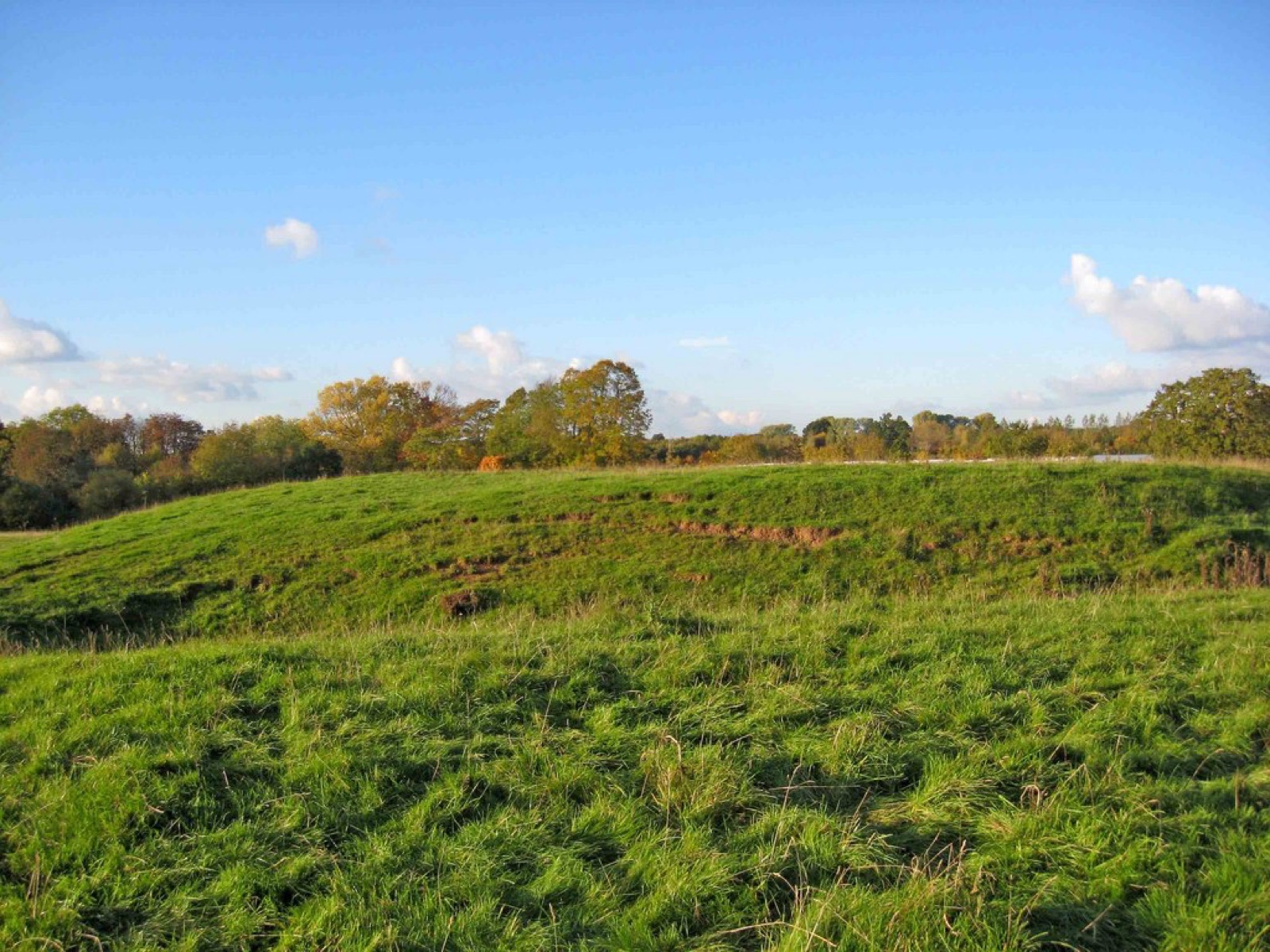 DESERTED MEDIEVAL VILLAGE · Expanded physical oddities
Medieval settlement immediately surrounding St Michael's Church
United Kingdom
deserted medieval village in Elmley Lovett, Worcestershire, England, UK
Map, evidence and context →DESERTED MEDIEVAL VILLAGE · Expanded physical odditiesPrehistoric and medieval settlements with fields and enclosures together with Bronze Age cairns and medieval alluvial streamwork
United Kingdom
human settlement in St Breward, Cornwall, England, UK
Map, evidence and context →DESERTED MEDIEVAL VILLAGE · Expanded physical odditiesMedieval settlement east of Holy Rood Church
United Kingdom
human settlement in Coombe Keynes, Purbeck, Dorset, England, UK
Map, evidence and context →DESERTED MEDIEVAL VILLAGE · Expanded physical odditiesMedieval settlement immediately west of Waterston House
United Kingdom
human settlement in Puddletown, Dorset, England, UK
Map, evidence and context →DESERTED MEDIEVAL VILLAGE · Expanded physical odditiesMedieval village of Lazenby
United Kingdom
human settlement in Danby Wiske with Lazenby, Hambleton, North Yorkshire, England, UK
Map, evidence and context →DESERTED MEDIEVAL VILLAGE · Expanded physical odditiesMedieval settlement at Brookhampton
United Kingdom
human settlement in Kineton, Stratford-on-Avon, Warwickshire, England, UK
Map, evidence and context →DESERTED MEDIEVAL VILLAGE · Expanded physical odditiesMedieval settlement at Billesley Trussell
United Kingdom
human settlement in Billesley, Stratford-on-Avon, Warwickshire, England, UK
Map, evidence and context →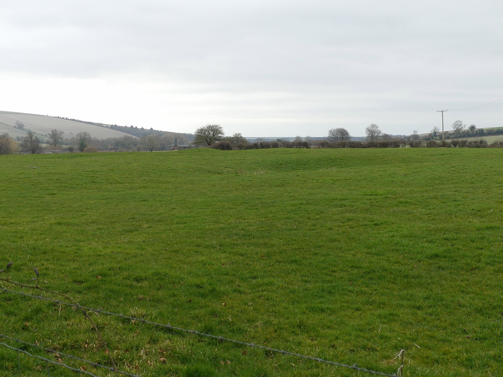 DESERTED MEDIEVAL VILLAGE · Expanded physical oddities
Hill Deverill medieval settlement
United Kingdom
archaeological site in Longbridge Deverill, Wiltshire, England, UK
Map, evidence and context →DESERTED MEDIEVAL VILLAGE · Expanded physical odditiesMedieval settlement of Eythrope
United Kingdom
human settlement in Waddesdon, Buckinghamshire, England, UK
Map, evidence and context →DESERTED MEDIEVAL VILLAGE · Expanded physical odditiesMedieval settlement remains 100m and 250m north of Downhead Manor Farm
United Kingdom
human settlement in West Camel, South Somerset, England, UK
Map, evidence and context →DESERTED MEDIEVAL VILLAGE · Expanded physical odditiesMedieval settlement immediately south east of Ebberston Hall
United Kingdom
human settlement in Ebberston and Yedingham, Ryedale, North Yorkshire, England, UK
Map, evidence and context →DESERTED MEDIEVAL VILLAGE · Expanded physical odditiesMedieval settlement of Beere
United Kingdom
human settlement in North Tawton, West Devon, England, UK
Map, evidence and context →DESERTED MEDIEVAL VILLAGE · Expanded physical odditiesDeserted medieval village of Hilderthorpe with associated ridge and furrow field system
United Kingdom
deserted medieval village in Bridlington, East Riding of Yorkshire, England, UK
Map, evidence and context →DESERTED MEDIEVAL VILLAGE · Expanded physical odditiesMedieval Village And Field System Remains Immediately East Of Haycroft
United Kingdom
human settlement in Spurstow, Cheshire East, Cheshire, England, UK
Map, evidence and context →DESERTED MEDIEVAL VILLAGE · Expanded physical odditiesLittle Oxendon
United Kingdom
deserted medieval village in Northamptonshire, United Kingdom
Map, evidence and context →DESERTED MEDIEVAL VILLAGE · Expanded physical odditiesLyde Castle
United Kingdom
possible site of a castle in Herefordshire, England, UK
Map, evidence and context →DESERTED MEDIEVAL VILLAGE · Expanded physical odditiesEast Folifoot
United Kingdom
archaeological site in Walton, Leeds, West Yorkshire, England, UK
Map, evidence and context →DESERTED MEDIEVAL VILLAGE · Expanded physical odditiesSteane medieval village
United Kingdom
archaeological site in Farthinghoe, United Kingdom
Map, evidence and context →DESERTED MEDIEVAL VILLAGE · Expanded physical odditiesBraydeston
United Kingdom
deserted medieval village in Norfolk, United Kingdom
Map, evidence and context →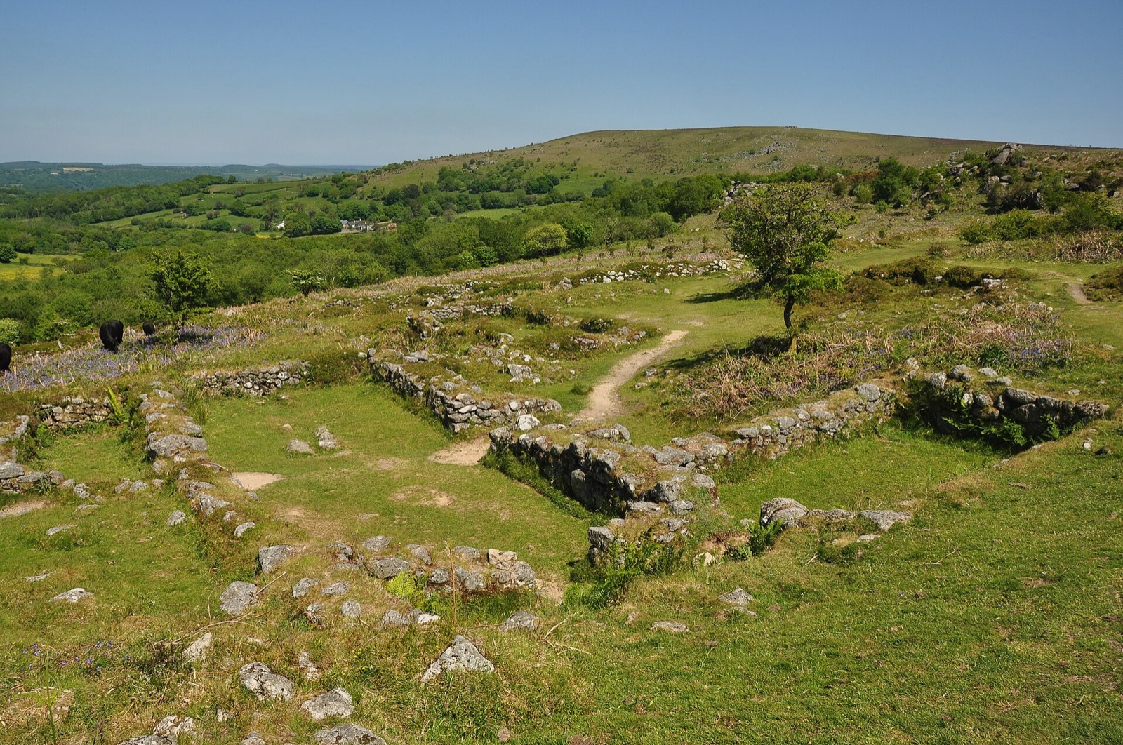 DESERTED MEDIEVAL VILLAGE · Expanded physical oddities
Hound Tor Deserted Medieval Village
United Kingdom
deserted medieval village in Devon, England, UK
Map, evidence and context →DESERTED MEDIEVAL VILLAGE · Expanded physical odditiesInkersall
United Kingdom
former village in Nottinghamshire, England, UK
Map, evidence and context →SUBTERRANEAN RIVER · Expanded physical odditiesParr’s Ditch
United Kingdom
subterranean river in London Borough of Hammersmith and Fulham, London, England, UK
Map, evidence and context →SUBTERRANEAN RIVER · Expanded physical odditiesRiver Walbrook
United Kingdom
subterranean river in the City of London, England
Map, evidence and context →SUBTERRANEAN RIVER · Expanded physical odditiesRainham Creek Culvert
United Kingdom
Culvert of Rainham Creek at River Thames outfall
Map, evidence and context →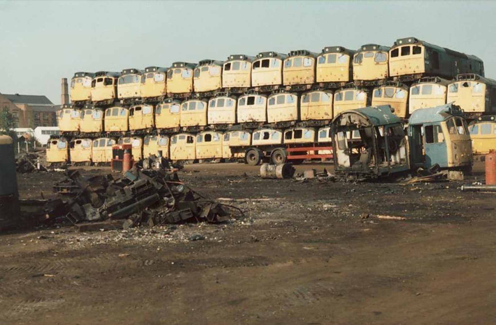 TRAIN GRAVEYARD · Expanded physical oddities
Vic Berry's Scrapyard
United Kingdom
railway scrapyard situated in the former Great Central Railway Braunstone Gate goods yard in Leicester, England, UK
Map, evidence and context →SUBMERGED SETTLEMENT · Expanded physical odditiesRavenspurn
United Kingdom
town in the East Riding of Yorkshire, England, which was lost due to coastal erosion
Map, evidence and context →