Heritage · North Shields, England
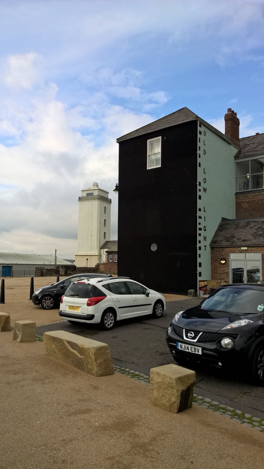
The lighthouse that worked as half of a sightline
The Low Light guided ships by lining up with a second light above the Fish Quay.
Explore place →MapTheOdd / Guides / Odd road-trip ideas
Curated atlas guide · 8 mapped records
Evidence-led clusters for travellers who would rather connect engineering, geology and strange civic history than standard sights.
The Low Light guided ships by lining up with a second light above the Fish Quay.
Explore place →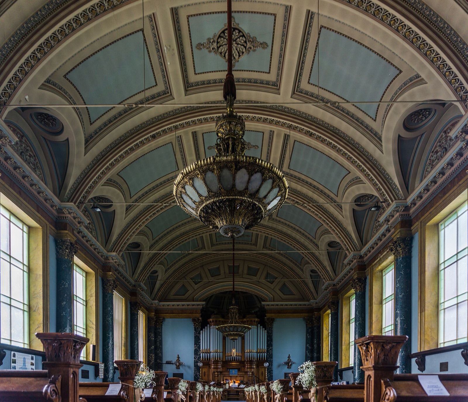
Industrial planning produced a settlement where work, housing and civic life were designed together.
Explore place →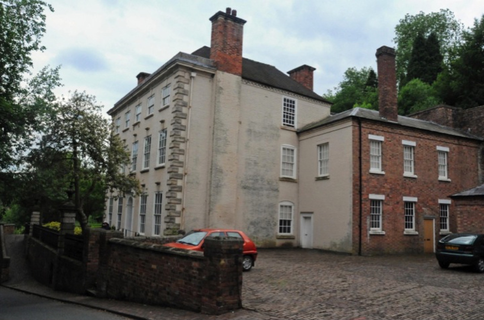
Mines, furnaces, canals and an iron bridge survive in one landscape.
Explore place →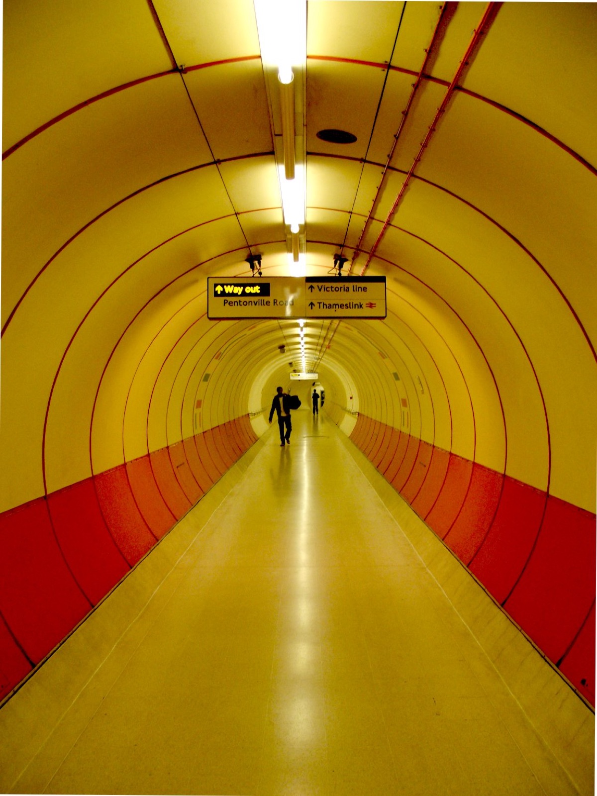
Ornate ironwork encloses a monumental Victorian pumping station.
Explore place →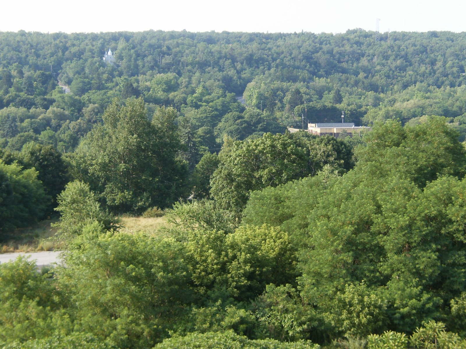
A long-lived underground mine fire altered roads, settlement and population.
Explore place →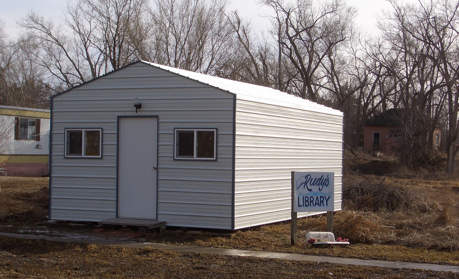
A legally incorporated village persists despite an extraordinary population count.
Explore place →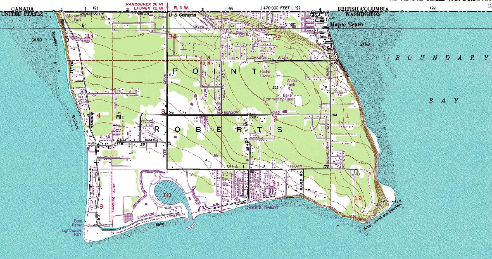
A border drawn along the 49th parallel left a US community attached by land only to Canada.
Explore place →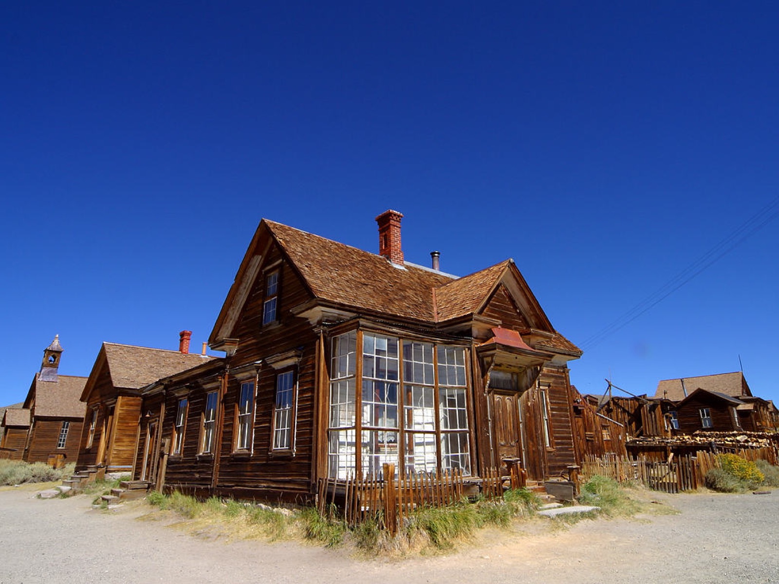
A mining boomtown survives as a protected historic district.
Explore place →MapTheOdd recommends The lighthouse that worked as half of a sightline, A whole town built for one mill, The valley where industry changed scale, The cathedral built for sewage, with maps, evidence sources and related records.
Each place page provides coordinates, evidence, seasonal context and related oddities.